
Exploring Mardi - Part II
A book is only as great as the adventures of the writer. Nepal offers countless opportunities to tell stories from another world. Amongst such wondrous trails is Mardi Himal Trek. While walking through the paths, one gets to take their imagination up through breathtaking scenes and witness the surreal beauty of the Himalayas.
In the first part of this article, we briefly looked into a few facts about the Mardi Himal Trek. Whereas in this article, we shall look into the itinerary in brief.
What can I experience in this trek?
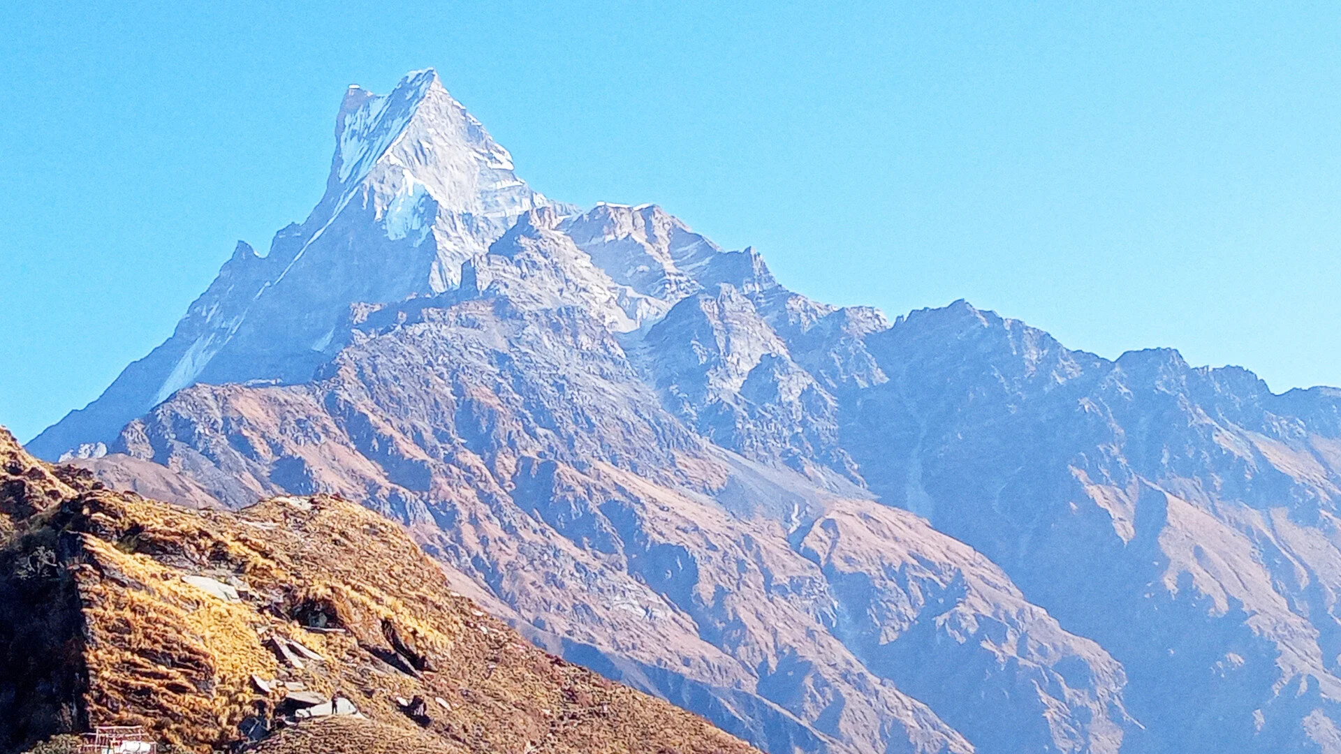
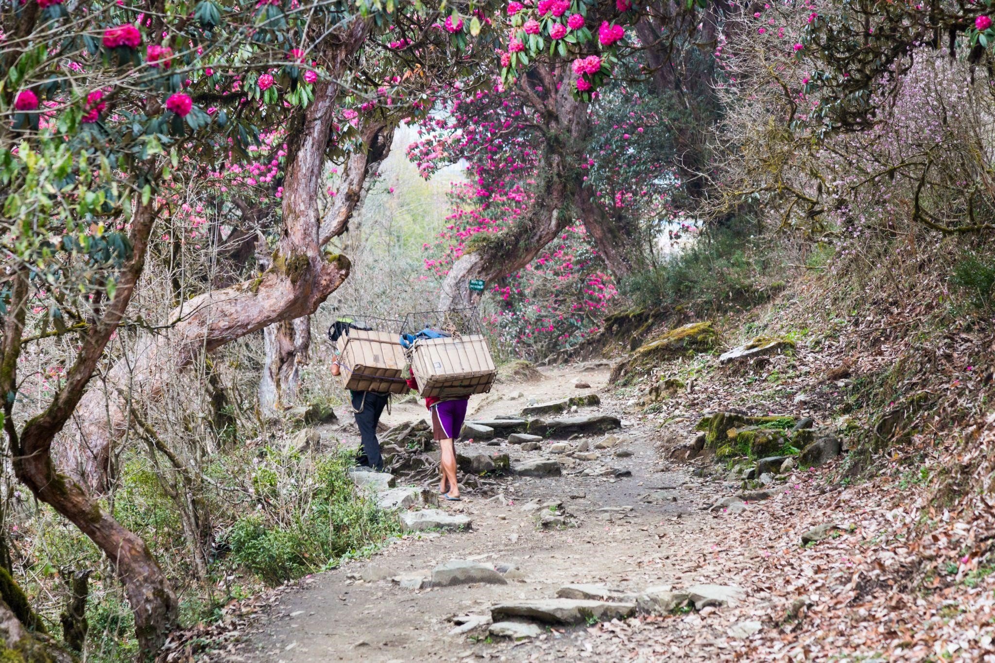
The journey begins in the temperate zone with lush grooves and rhododendron hills. The scenery gradually changes to sub-alpine when you make the ascent from Low Camp to High Camp. A short hike from here to Mardi Himal Base Camp takes you to the alpine zone with an uninterrupted panorama of the Annapurna mountains and a close-up encounter with Mt Machhapuchre.
The itinerary
Day 1: Drive to Kande and Trek to Deurali
Maximum elevation for the day: 2200m above sea level
Trekking time: 4 hours
Difficulty: Easy
Day 2: Trek to Low camp
Maximum elevation for the day: 2900m above sea level
Trekking time: 7 hours
Difficulty: Moderate
Day 3: Trek to High Camp
Maximum elevation for the day: 3585m above sea level
Trekking time: 5-6 hours
Difficulty: Moderate
Day 4: Hike to Mardi Himal Base Camp and return to Middle Camp
Maximum elevation for the day: 4500 m above sea level
Trekking Time: 3 hours
Difficulty: Easy
Day 5: Trek to Siding Village from Middle Camp
Maximum elevation for the day: 3200m above sea level
Trekking time: 6 hours
Difficulty: Moderate
Day 6: Trek to Lumre and back to Pokhara
Maximum elevation for the day: 1750m
Trekking time: 3 hours
Drive time: 2 hours
Difficulty: Easy
What should I pack?
In general, trekkers should travel light. The maximum elevation for this trek is 4500m, meaning you shall require a warm jacket for the hike to Mardi Himal Base Camp. You should wear light clothes during the walk and have a windcheater or jacket with you at all times.
If you are travelling during Autumn or winter, warm clothes are a must. During spring, the days are relatively warmer. But the winds help cool you down. A windcheater over light clothing is the optimum recommendation.
A raincoat, along with a rain cover for your bag, is suggested. You should wear either hiking boots or comfortable sports shoes. If you plan to visit this region during pre-monsoon or monsoon, make sure to tuck and cover yourself well. The forests shall be full of mosquitos and leeches. Also, pack a warm cap and gloves with you as the alpine region is always cold.
Don't forget your sunscreen and sunglasses.
Do I need to be very fit for this trek?
The Mardi Himal Trek is moderate. Travellers do not require peak physical fitness but should have a good walking experience. As the trek features a gradual increase in elevation, AMS (Acute Mountain Sickness) is unlikely. But, if you feel the following symptoms, please inform your trekking guide and take appropriate measures.
Symptoms at 3000-5000m
1. Tingling Sensation
2. Headache
3. Fatigue
4. Nausea
5. Difficulty breathing
6. Stuffy ears
Appropriate measures include the following:
1. Do not panic.
2. Descend to a lower altitude immediately. If you feel like you cannot walk, request assistance.
3. If you have medication for AMS, consume it post consultation with your trekking guide.
Before booking your trek, please consult your doctor and get a basic assessment of your health. It shall help ensure you have a pleasant experience with minimal issues during the journey.
Also, note the following, altitude sickness is common, and you can overcome it easily. Whatever the case, please do not panic. Mental health is as important as physical health.
Should I explore Pokhara & Kathmandu?
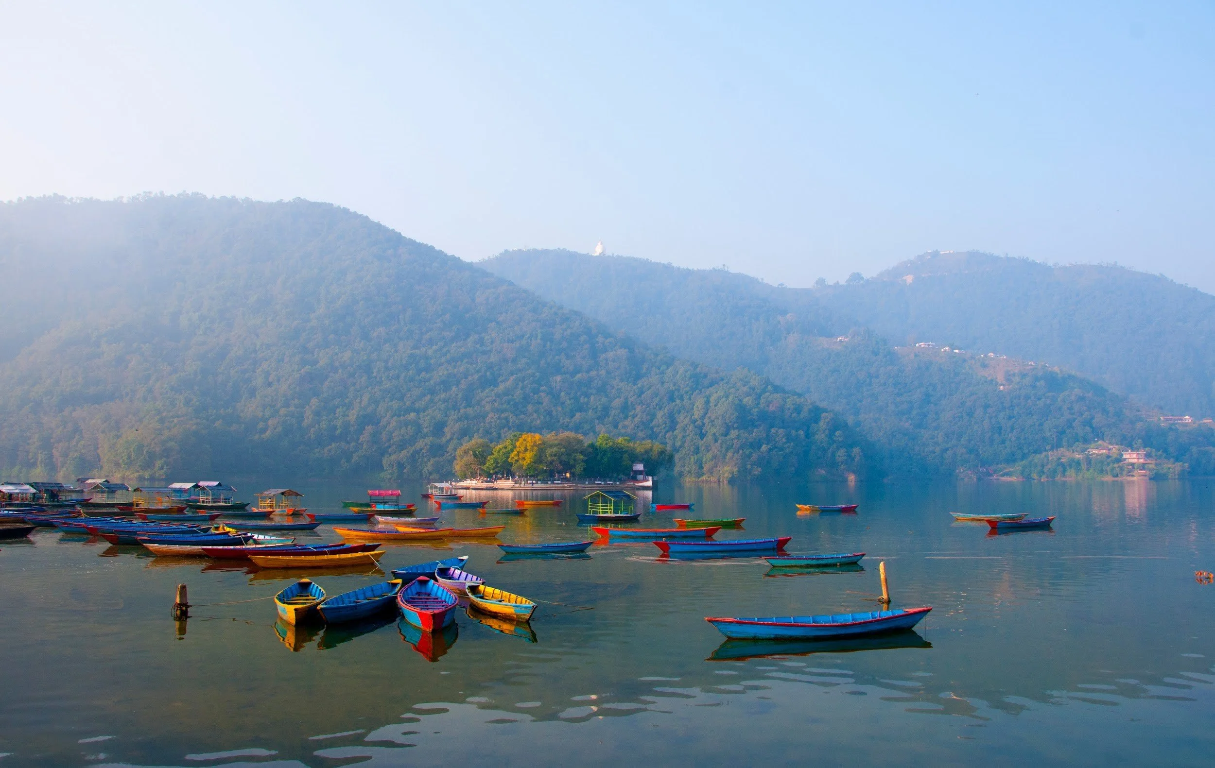
Yes, of course, a cup of your favourite beverage beside the Fewa lake is a great experience. Indulge in a tour of the valley, which can be facilitated at a reasonable rate by the hotel. If you wish to entertain yourself around these cities without a guide or agent, please be careful of pesky street hawkers and scam guides.
We hope you have a great trek and a pleasant experience in Nepal!
POPULAR ITINERARIES
SIMILAR POSTS
Exploring the Himalayas
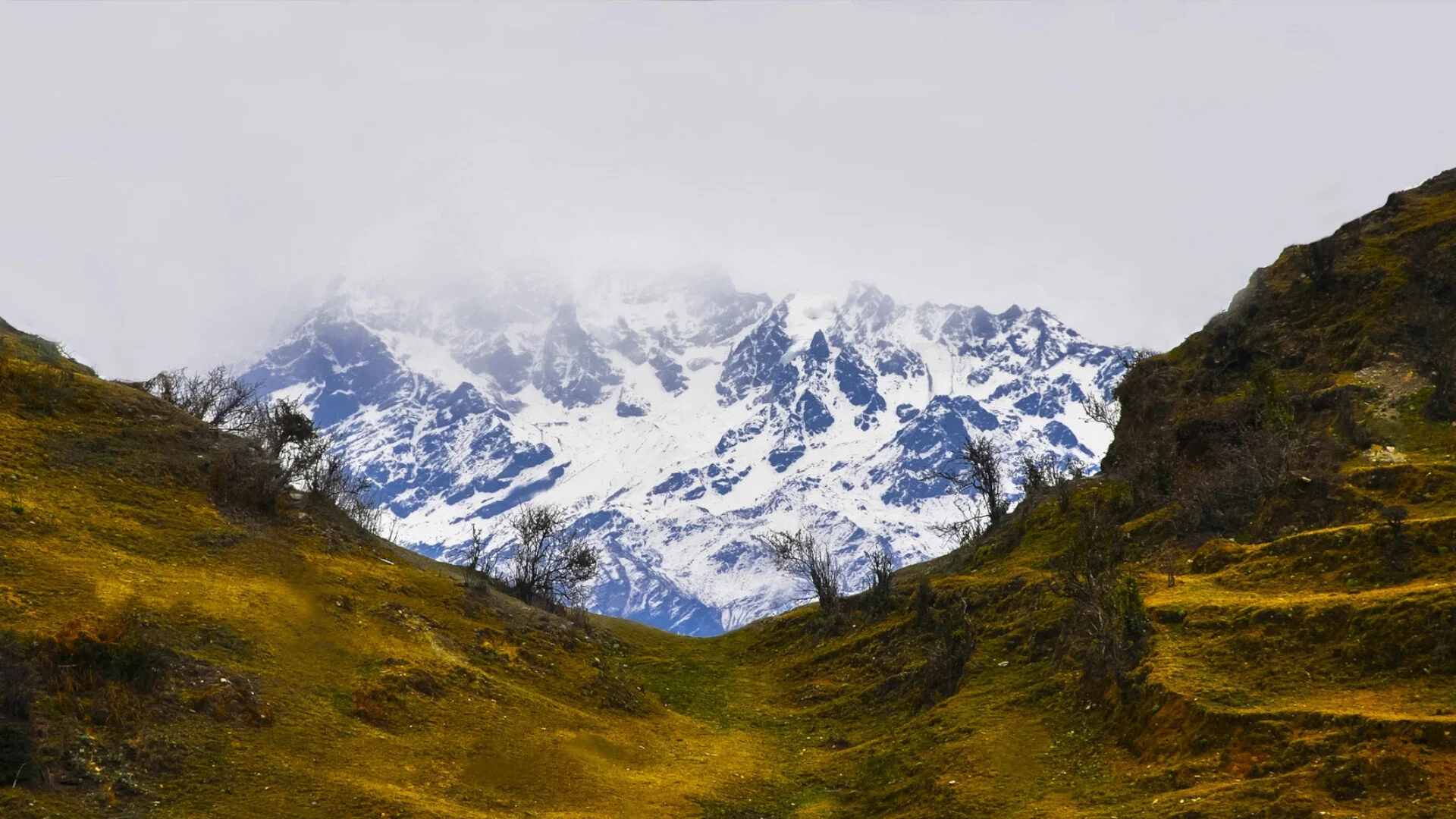
The Himalayas that belt across Northern Nepal holds some of the most magical destinations in the world. Concealed by tall peaks and clouded under the heavy snow, the experience of discovery is as close to finding Shangri-La. Places invisible, trail treacherous, and weather unpredictable but yet the fruit heavenly.
Gokyo
Junbesi
Marpha
Manang
The Himalayas that belt across Northern Nepal holds some of the most magical destinations in the world. Concealed by tall peaks and clouded under the heavy snow, the experience of discovery is as close to finding Shangri-La. Places invisible, trail treacherous, and weather unpredictable but yet the fruit heavenly.
Here is a list of four must-visit destinations in the marvellous Himalayan region of Nepal.
Gokyo Village
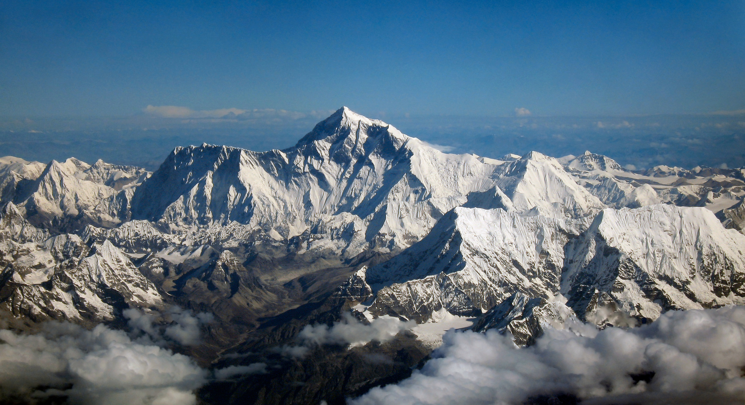
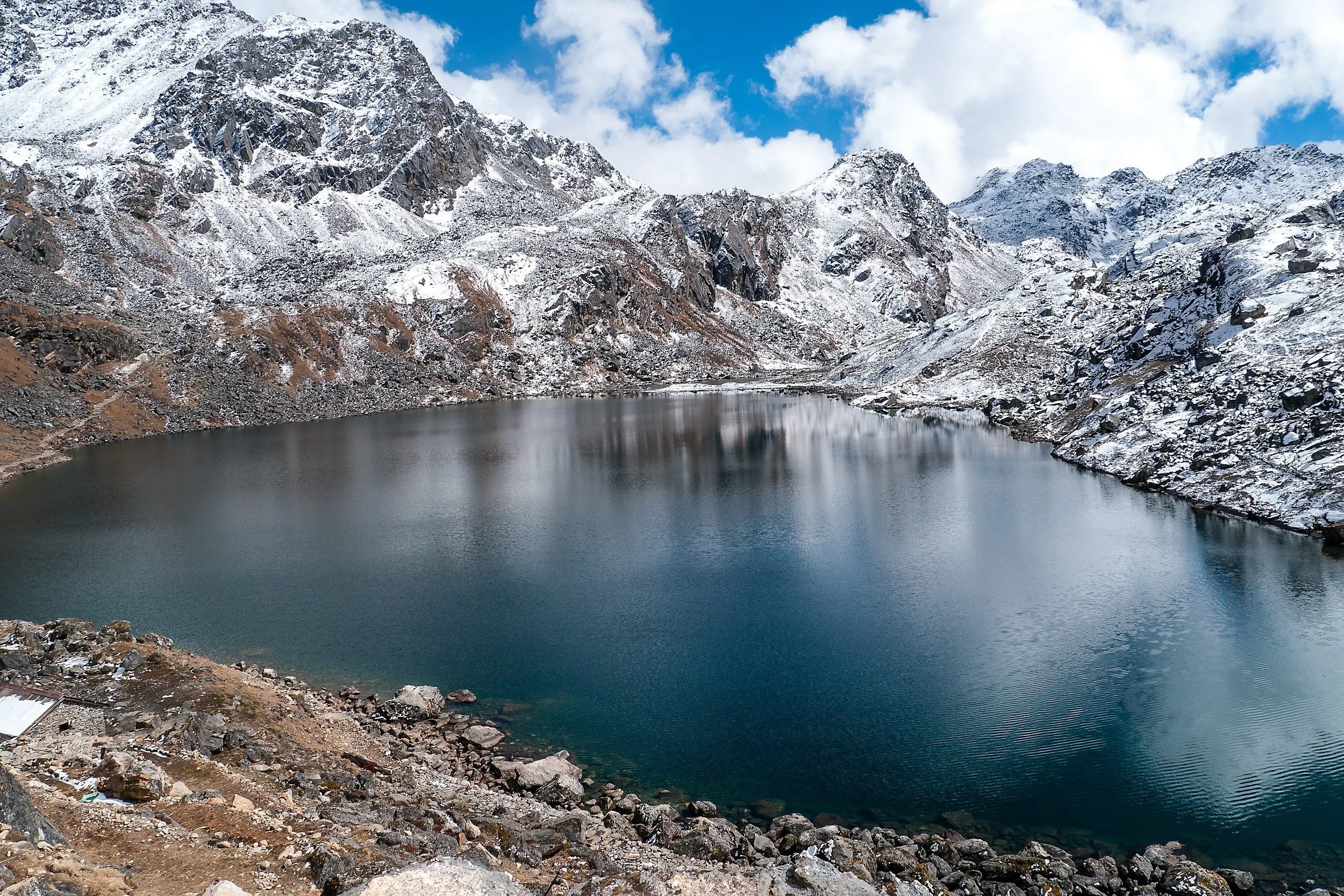
Situated near the eastern shore of Dudh Pokhari, overlooking Mt Everest in Northern Solukhumbu District lies the beautiful village of Gokyo at 4750 meters high. Chances are, you might have come across this name while you were planning a trek to Everest Base Camp.
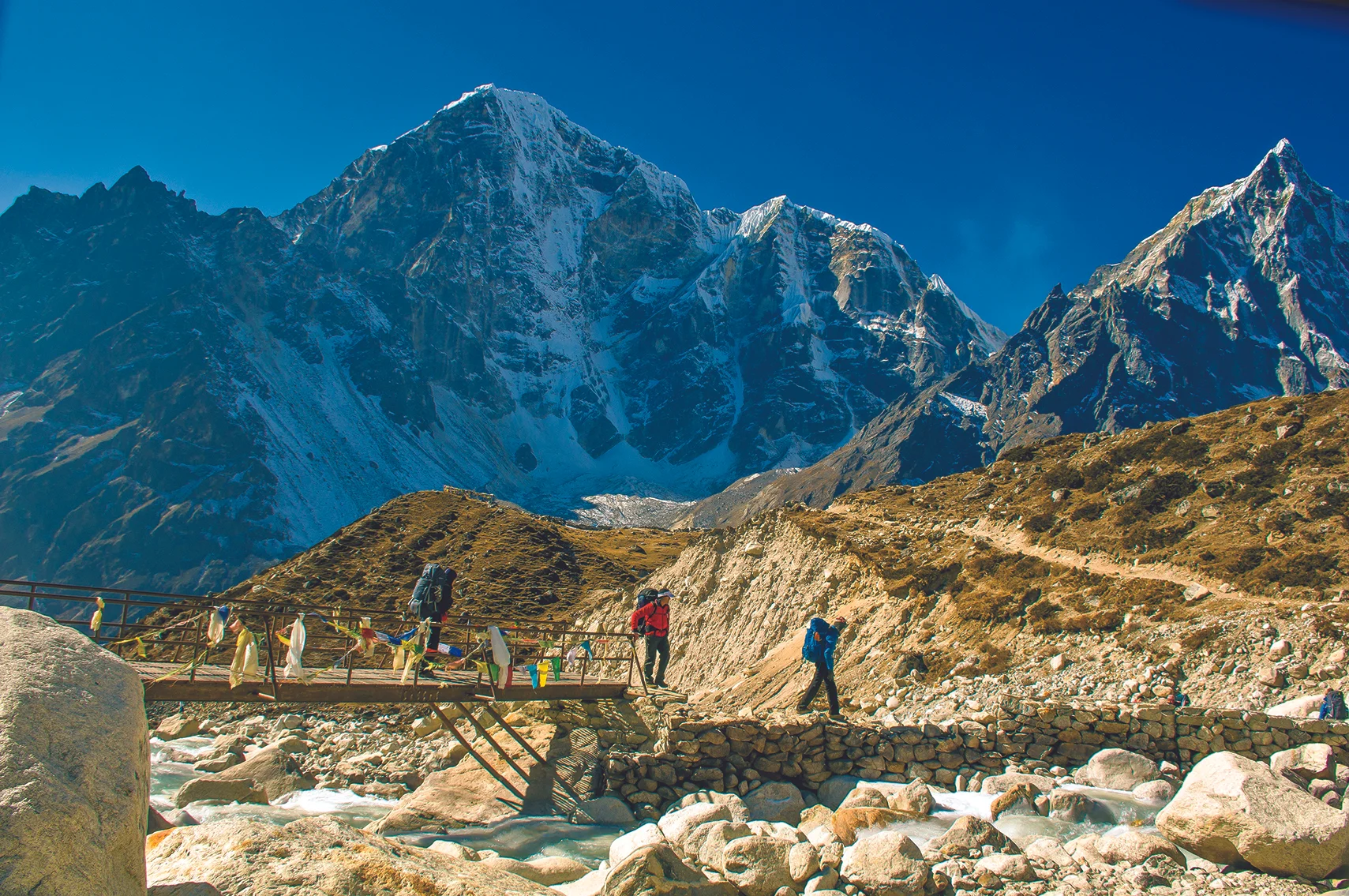
With the majestic tall mountains that surround it, this village though small holds many experiences. Regarded as a sacred religious sight by followers of Hinduism and Buddhism, the lake of Gokyo sees flocks of not just adventurers but also devotees. The beautiful rhododendron forests, suspension bridges draped with Buddhist flags, tens and hundreds of yak trains will follow you as you walk the adventurous trails of rocky mountains, cold slopes, and glaciers to this stunning village. It holds its little significance through the lifestyle of the Sherpa people living here. The emerald-coloured Gokyo lakes around the Gokyo valley reflect the beauty of the ethnic villages. It is the beating heart of the people and the very essence of the valley.
A flight from Kathmandu to Lukla followed by 10 to 13 days trek shall lead you to Gokyo. Since this small village is thinly populated, there is only one lodge inside it, while a bunch of hotels and teahouses can be found around the Khumbu region, a couple of kilometres from the village.
Junbesi
This magical Sherpa village, nestled in the lower Solukhumbu region, at an altitude of 2700m, is less known but a must-visit destination. The small houses surround the 400-year-old Buddhist Stupa overlooking the massive mountain range, is at a junction of the Everest trail and Thuptenchholing monastery.
White painted brick houses, Thankas depicting magic and mysteries line every street you’ll encounter as you step in this piece of paradise. The delicate warm sun rays hit the coloured roof of each house during the summer. From the alluring landscape to the cultural hospitality of the Sherpa people, massive celebrations of festivals like Dumje and Nyungne are regional highlights.
There are several resorts and family-run lodges that resonate home to weary travellers coming in. It is about 4 to 5-hour trek from Salleri, the district headquarters, and about 4 1/2 hours from Phaplu airport. Like Gokyo, you can stop by this beautiful village on your trek to Everest base camp and add a lively highlight to your trip.
Marpha Village
The beautiful village of Marpha is situated in Mustang district and has also become the apple capital of the country. White-painted stone houses reflecting the traditional heritage and architecture are spread all over this small ancient village wrapped by the mountain range of Annapurna. As the name suggests, mar means hardworking whereas pha means people, this little enchanted white village is the home of a thinly populated, yet diligent Thakali people and their hard-earned lives.
Along with the stunning essence of the mountains it captures and camouflages along the lines, it also holds significant religious value especially in Buddhism, and the main highlight of this heavenly village is Nyingma Monastery that is inhabited by several Buddhist Monks. Yet, the true spirit of the village reflects in the calming sound of children playing in the stoned streets while the adults spend their day caught up with the ample horticulture farming going on for more than 50 years under the sound of the fluttering Buddhist flags scattered over the houses.
Since the prime economic driver of this village is tourism, there are a good number of hotels with adequate modern facilities, pleasant resorts with beautiful sceneries, and guesthouses with welcoming hosts along with various amenities. You can either take a flight from Pokhara to Jomsom and go for a short half-an-hour hike or stop by this alluring village during your Annapurna Circuit trek.
Manang
Manang, also known as one of the most beautiful hidden valleys of South Asia, is another stunning place enclosed between the snowy Himalayas. Located in Gandaki about 250 km from the capital, that holds life at 3540m high, this peaceful village is the last stop in the Annapurna circuit route.
As you’re on the verge to enter this enticing town, their lies the Gangapurna viewpoint, 10 minutes away from it, that frames the breathtaking view of the mountains, glacier, lake, and river, almost like something straight out of a painting. The valley is home to a thousand-year-old Buddhist monastery overlooking the indigenous community who settled their years prior. Annual festivals and communal celebrations brighten up the village and chimes of it can be heard around the valley. This valley is also the gateway to Lake Tilicho, one of the highest freshwater lakes in the world.
You can travel to Manang by, first, a flight or bus ride from the capital to Pokhara, and then you can either rent a Jeep or trek your way through the adventurous Annapurna trial. Since it is a major travel destination for travellers accommodation ranges from hotels, lodges to tea houses. Modern amenities housed in traditional architecture creates a lively aura with the addition of pleasant smiles and scenic views.
POPULAR ITINERARIES
SIMILAR POSTS


Exploring Island Peak
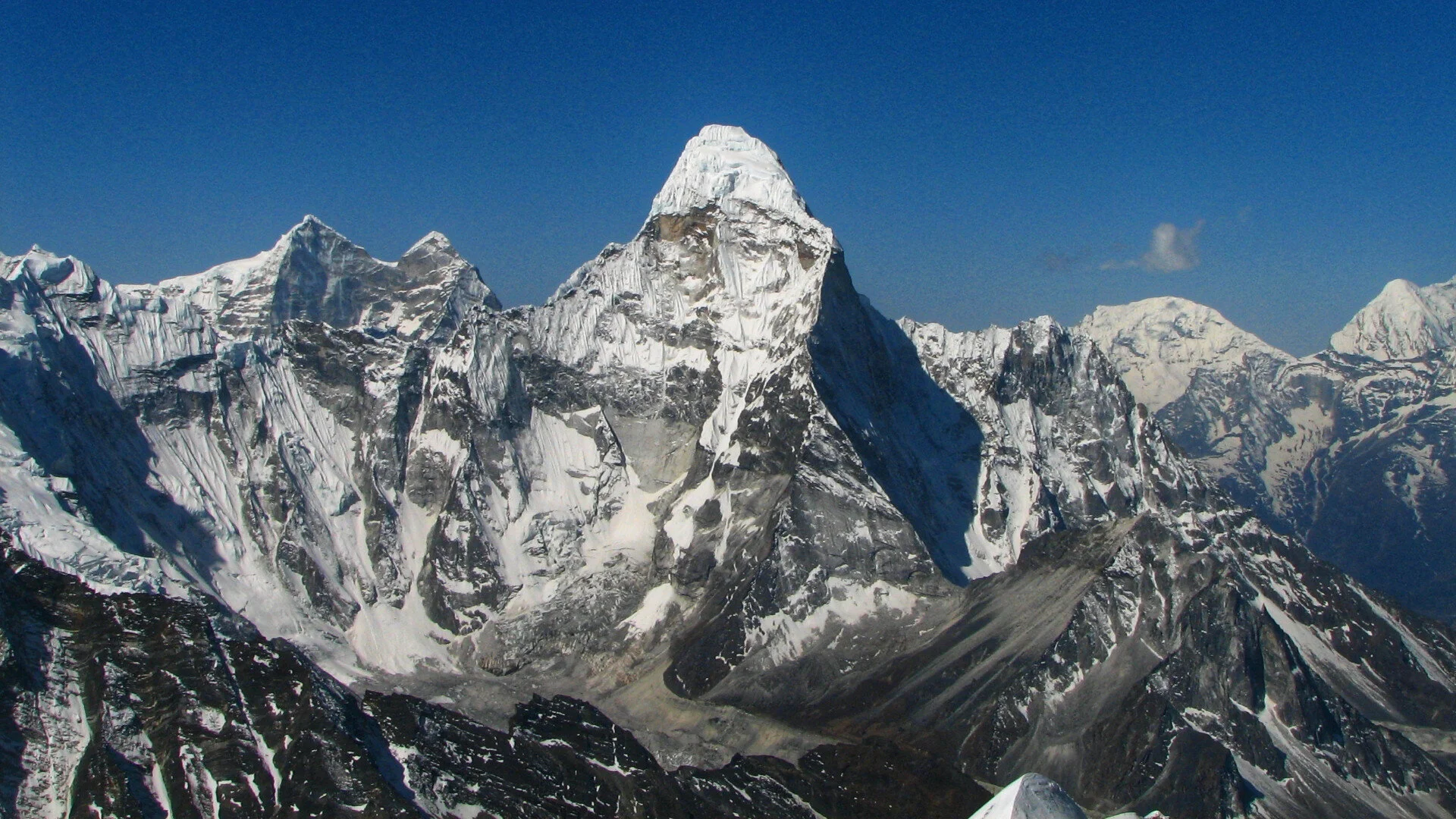
Island Peak, standing at 6189m as the extension of both the Lhotse and Mount Everest, also known as the Imja Tse, is one of the most popular, exciting, and stunning destinations to trek in Nepal.
Standing at 6189m as the extension of both the Lhotse and the Everest, Island Peak is one of the most popular, exciting, and stunning destinations to trek in Nepal. Also known as the Imja Tse, the peak, however, is a difficult one to the summit.
The mountain requires substantial physical fitness, and has a low tolerance towards health issues, making the ascent quite challenging, yet a lot more rewarding; especially in Mid-March through May, and Mid-September through November. This trek can be completed within a duration of 10 to 20 days, keeping safety considerations and the itinerary in mind.
Itinerary
DAY 1: KTM – LUKLA – PHAKDING
The easiest way to reach the Himalayan Region from the capital is via air. We will take an early flight to Lukla and from Tribhuvan International Airport, and then trek to Phakding via the picturesque Dudh Koshi Valley.
Accommodation: Lodge in Phakding
DAY 2: PHAKDING – NAMCHE
After breakfast, we will pass through beautiful pine, fir, and juniper forest to reach the entrance of the Sagarmatha National Park, crossing five long suspension bridges over the Dudh Koshi River along the way. If the weather is clear, we can even get a glimpse of Mt. Everest.
Accommodation: Lodge/ hotel in Namche Bazar.
DAY 3: NAMCHE
The rest of the trek requires acclimatization. So the day shall be spent adapting to the region of Namche and regaining strength for what is to come. Various activities such as going up to the Tengboche to get a panoramic sunset with the Himalayas, trinket shopping, and sampling local cuisine are possible activities for the day.
DAY 4: NAMCHE – MONLA – PHORTSE
With efforts to adapt more to the altitude, we shall be taking a detour and visiting some more places in the Everest region. We will trek through Monla and reach the beautiful village on Phortse, just above the tree line.
DAY 5: PHORTSE – PANGBOCHE – DINGBOCHE
We will walk to Dingboche from Phortse via the Pangboche, savouring the view of the remarkable glaciers along the way.
DAY 6: DINGBOCHE – CHHUKUNG
On the way to Chhukung from Dingboche, we will get a view of Ama Dablam, the ridge of Nuptse-Lhotse, Tawache, and Chalotse. We can even get a sight of the Island peak on the way, near Bibre Village.
DAY 7: CHHUKUNG
We will acclimatize ourselves to get used to the high altitude by climbing Chhunkung Ri, from whose summit we can see a fantastic view of Ama Dablam and Amphu Lapsa.
DAY 8: CHHUKUNG – ISLAND PEAK BASE CAMP
We will trek up to the last settlement valley of Chhukung and reach the base camp to the southern side of the peak.
DAY 9: ISLAND PEAK BASE CAMP (TRAINING)
We will learn about the various procedures, technicalities, and safety parameters required to climb the Island Peak.
DAY 10: ASCEND TO PEAK – ISLAND PEAK BASE CAMP
We will start our ascent to the peak right after midnight. After we reach the summit, we will be taking pictures and descend back to the base camp to celebrate our success.
DAY 11: ISLAND PEAK BASE CAMP – PANGBOCHE
We will descend back to Pangboche from the base camp, which is more moderate since we are going to a lower altitude. Pangboche is a beautiful village surrounded by Everest, Ama Dablam, Thamserku, and Imja Tse River.
DAY 12: PANGBOCHE – NAMCHE
We will walk from Pangboche to Namche via Tengboche a region in seasonally enveloped with rhododendrons and juniper trees. If we are lucky enough, we might catch a glimpse of mountain goats, snow leopards, and colourful pheasants as well. Overnight at Namche in a hotel/lodge.
DAY 13: NAMCHE – LUKLA
Taking the same path as that of day 1 and 2, we will go to Lukla from Namche along the Dudh–Koshi River.
Here is a short version of the same itinerary:
DAY 1: KTM – LUKLA – NAMCHE
DAY 2: NAMCHE
DAY 3: NAMCHE – TENGBOCHE
DAY 4: TENGBOCHE – DINGBOCHE
DAY 5: DINGBOCHE – ISLAND PEAK BASE CAMP
DAY 6: TRAINING AT BASE CAMP
DAY 7: ASCEND THE PEAK – CHHUKUNG
DAY 8: CHHUKUNG – NAMCHE
DAY 9: NAMCHE – LUKLA
DAY 10: LUKLA – KTM
SOME TIPS TO KNOW:
Keep a few days extra in your schedule in case there should be any unforeseen delays.
Have the proper acclimatization time as per your need.
Buy right gear and clothing.
Get training beforehand.
Hire licensed guide and porter.
Carry extra personal medication for unforeseen delays.
Practice deep breathing during rests.
Do not hesitate to let your guide know if you're feeling any discomfort.
POPULAR ITINERARIES
SIMILAR POSTS
Exploring The Hills
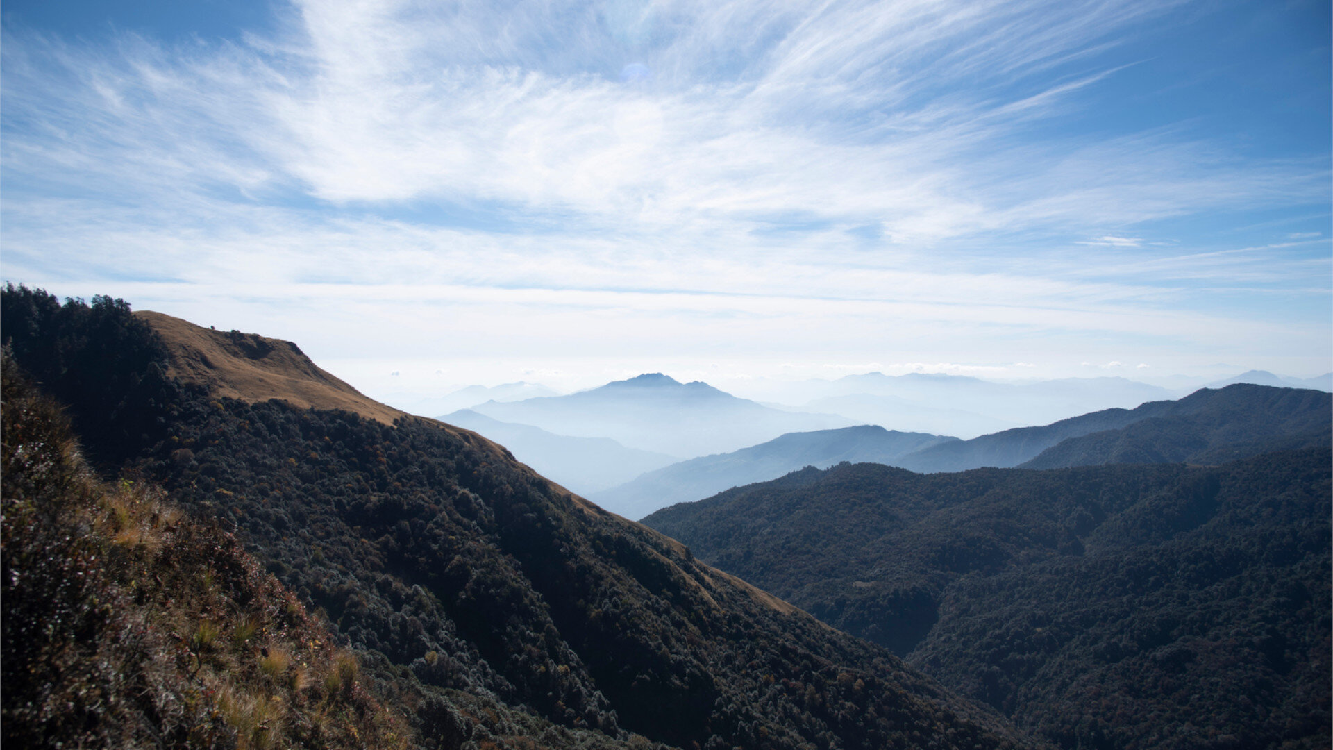
Nepal is known for its spectrum of diversities. From culture, ethnicities, geography, to food. Here lies a bit of paradise in every nook and corner you choose to explore. Mentioned below are four must-visit travel destinations in the hilly region of the country for you to add to your next travel season.
Ilam
Shivapuri national park
Daman Hill Station
Lamjung
Nepal is known for its spectrum of diversities. From culture, ethnicity, geography, to food. Here lies a bit of paradise in every nook and corner you choose to explore. Mentioned below are four must-visit travel destinations in the hilly region of the country for you to add to your next travel season!
Ilam
Along the green hills of the Mahabharata range of East-Nepal lies Ilam, the largest tea production region of Nepal. With the perfectly polished greenery spread all over, Ilam is a natural escape. The beautiful sloping view of the tea gardens all over the hills, surrounded by the peaceful mountain streams, dense forests, and religious sites make the entire experience here like something straight out of heaven. It is a diverse district when it comes to natural landscapes and prosperous when it comes to crop cultivation.
Some of the popular places to visit here are the viewing tower situated near the town and Mai Pokhari an hour away from the central city. You can start either by taking a brisk walk through the elegant tea garden or go for a short hike to the woods nearby. You can spend your day sightseeing through the culturally diverse lifestyle of the city as well. In terms of accommodation, lodges, tourist hotels, and a few resorts are eager to welcome travellers.
Shivapuri National Park
If you are looking for a break from the bustles of the city and want to explore more of nature, maybe take some risks along the way, Shivapuri national park is the place for you. Situated on the northern side of the capital Valley, Sundarijal is roughly 25km away from the capital, Kathmandu.
It is probably the most natural place for a morning hike with friends and family in the outskirts of Kathmandu valley. One can either drive or plan a one-day long hiking trip through the park. The glistening parade of thousands of leaves around you and the sight of small waterfalls leaves you at awe. Shivapuri national park gives you a feeling of being so far, yet so close to your daily lives.
Daman Hill Station
Another must-visit place along the capital hills of the country is Daman Hills. Situated in the southwest Tribhuvan Highway, 80km away from the Valley, Daman is one of the best places for a short getaway trip from the valley.
It offers you a panorama view of the hills with the Himalayas in the background, from Mt Dhaulagiri at the west to Mt Everest at the east. At the same time, you get the chance to reflect and connect with the beautiful local culture by visiting the villages around the corners. This hill station is also particularly famous for picnics, rock climbing, cycling, hiking, and other adventurous activities. Moreover, it includes one of the biggest and oldest botanical gardens in Nepal that attracts hundreds of visitors over the years, and the popular Shivan Temple, Risheshoe Temple is also situated here.
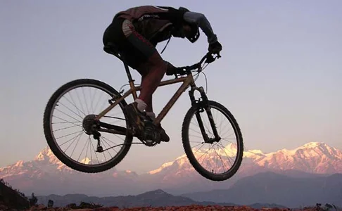
Daman is easily accessible via public and private mediums of transportation. It is also a popular cycling and hiking destination. Similarly, in terms of accommodation, the hill station offers community homestay, tourist hotels, and lodges. And the best time to visit is around the Spring or Autumn, where it is not too hot and not too cold for your convenient travel experience.
Lamjung
Every region has its own culture and art to offer, and there is always something for us to learn from them. Lamjung is a region nestled in the beautiful mid-hills of Nepal, which provides more than just a natural escape but also a cultural experience. It is truly a gift of all that nature has to offer as its geography spans seven climate zones: Upper Tropical, Subtropical, Temperate, Subalpine, Alpine, Nival, and Trans-Himalayan.
The district headquarter, Besishahar is a name that resonates with all adventurists who have treaded the Annapurna region and is the gateway to experiencing the majestic Himalayas, beautiful landscapes, and warm ethnic love. The ancient Lamjung Durbar, which is, as a matter of fact, one of the extensive historical monuments, is also situated here at Gaunsahar, Besishahar Municipality. On your trip to Lamjung, this particular historical shrine is a must-visit place since the beautiful multi caste settlement of Besishahar can be seen from up here, surrounded by the greenery of the hills covered by the wide Himalayan range.
The beauty of the region is reflected through the local Gurung people and their traditional norms, food culture, and interpretation of folk dance numbers around that give life to the villages and cities.
POPULAR ITINERARIES
SIMILAR POSTS
Hiking Trails In & Around Kathmandu Valley - Part II
We explored the scenic hiking routes of Shivapuri National Park and Sankhu to Bajrayogini Hike. Shivapuri National Park is one of the closest national parks to the capital that offers a natural trail filled with water bodies, flora, and fauna. And Shanku, a historic Newar settlement, one of many checkpoints in the old trade route to Tibet that over time has managed to keep its ancient roots alive.
Brisk weather coupled with a scenic ambience is the perfect setting to indulge in a beautiful hike. The Kathmandu valley has numerous destinations featuring such chemistry, where one can rekindle their spirit in nature and experience serenity. These hikes range between three to six hours and can be coupled with your existing itinerary to enhance the experience.
In part II of this article, we explore the scenic routes of Shivapuri National Park, and Sankhu to Bajrayogini Hike.
Shivapuri National Park
Altitude: 2563 metres
Duration: 5 hours to Shivapuri Hill ( Hiking from Budanilkanta) or a 25-minute drive to Nagi Gumba and 2-hour hike to Shivapuri Hill
Highlights: Lantang Himalayan Range, Bagdwar (Origin of Bagmati), Nagi Gumba, water bodies, flora and fauna.
One of the closest national parks to the capital, Shivapuri National Park offers a natural trail filled with water bodies, flora and fauna at proximity to an urban area.
The most popular route of this region begins from Budanilkanta temple, 8 kilometres north of Kathmandu. The temple features a sleeping statue of Lord Vishnu carved out of a single stone, according to legends. This temple holds great religious significance for citizens of Kathmandu valley and followers of Hinduism. After viewing the temple premises and receiving blessings; one may begin his/her journey. A fair trial of 2 to 3 hours shall lead you to Nagi Gumba: a Buddhist monastery. 2 hours further into the trail you, shall reach the highest viewpoint of the park. Panoramic views of Kathmandu with the Himalayan range in the background towards the north make this destination worth the hike.
With a total trek time of 5 hours, Shivapuri hill hike averages as a day hike. Hikers are requested to equip themselves with essentials such as bottled water, snacks, energy bars, raincoat and a first aid kit. The trail can be rated average with a few challenges such as steep inclines, steps and narrow paths.
The itinerary can also include Sundarijal, which brings the total duration of the hike to 6 hours from Budanilkanta. ‘Sundari’ translates to beautiful and ‘Jal’ water from Nepali to English. Sundarijal, a village located in Gokarneshwar Municipality: is a true oasis in an urban jungle.
An escape to Sundarijal features tantalizing encounters with waterfalls, water bodies and native wildlife. The river Bagmati originates from this region and holds great social, communal and religious significance to the citizens of the valley. It is also a prime source of drinking water for the valley of Kathmandu.
Fifteen kilometres (9 miles) north-east of Kathmandu, Sundarijal falls west of Gagalphedi; east of Nayapati and Baluwa and north of Aalapot. The northern portion of Sundarijal falls within Shivapuri National Park.
Sundarijal’s biodiversity consists mostly of pine, oak and rhododendron. The region maintains an average temperature of 25.5º C in summer and 0º C during the winter. Wildlife such as Himalayan black bear, leopard, jungle cat and rhesus monkeys are sighted. It is also home to 177 species of birds amongst which nine endangered. One hundred two species of butterflies also call this region home.
Sankhu to Bajrayogini Hike
Duration: 2-3 hours
Highlights: Newari Culture, Bajrayogini temple, Milarepa Meditation Caves
Sankhu is a historic Newar settlement that over time has managed to keep its ancient roots alive. The town is 16 kilometres from Kathmandu and was one of many checkpoints in the old trade route to Tibet (Lhasa).
The hike begins from Sankhu, which is an hours drive from Kathmandu. Unlike other trails mentioned in this article, this one is cultural rather than natural. The trail features panoramic views of hills and farmscape but, the highlights are the ancient Newari architecture, monuments and temples.
The duration of the trail depends upon how you choose to spend the day at Sakhnu. Generally, the hike from Sankhu village to Bajrayogini temple is around 45 minutes one is always free to wander and experience the township of Sankhu and its offerings.
POPULAR ITINERARIES
SIMILAR POSTS

Hiking Trails In & Around Kathmandu Valley - Part I
Brisk weather coupled with scenic ambience is the perfect setting to indulge in a beautiful hike. The Kathmandu valley has numerous destinations featuring such chemistry, where one can rekindle their spirit in nature and experience serenity. These hikes range between three to six hours and can be coupled with your existing itinerary to enhance the experience.
Brisk weather coupled with scenic ambience is the perfect setting to indulge in a beautiful hike. The Kathmandu valley has numerous destinations featuring such chemistry, where one can rekindle their spirit in nature and experience serenity. These hikes range between three to six hours and can be coupled with your existing itinerary to enhance the experience.
In part I of this article, we explore the destination of Champadevi one of the highest viewpoints in Kathmandu Valley along with a hike from Nagarkot to Changu Narayan Temple in Bhaktapur.
Champadevi Hill
Altitude: 2,285 metres
Duration: 3 to 6 hours depending upon the trail taken
Highlights: Scenic pine forests, religious monuments such as stupas and monasteries, panoramic mountain views
Situated in the south-eastern corner of Kathmandu Valley, parts of this hill lie in the district of Makwanpur. Reaching the summit of Champadevi has several routes, but the most popular is through the Dollu Valley. A natural pine forest with grassy ridges creates a great ambience along with brisk weather even during peak summer.
Simple hiking gear with amenities of snacks, bottled water is recommended for this trip. During the monsoon, hikers must be cautious of leeches, if not protected correctly they can cause hinderance.
The route begins from Haatiban; the well-trodden trail makes it easy to follow. This route takes around three hours to Champadevi and back. Averaging 2,285 metres in altitude a day with perfect weather allows majestic panoramic views of Mt. Dhaulagiri, Annapurna, Manaslu, Ganesh Himal, Lantang Himal, Jugal Himal along with the Gaurishanker mountain range.
Another route to Champadevi begins from an outskirt town called Pharping which is 14.7 kilometres from the city of Lalitpur. The hike from Pharping to the summit of Champadevi also averages a total of three hours.
The summit is also reachable from the roads near Taudaha Lake. This route isn’t the most popular as one has to hike dirt roads until they reach the forest area. The trail from here is steep and leads to the point of Hattiban. Totalling 4 to 6 hours, it is best one begins the hike from Haatiban itself rather than Taudaha.
To reach the starting destination of this hike one can take the bus which leaves from Old Bus Park near Thamel. One should search for the bus that heads to Dakshinkali; get a ticket and disembark at points of either Haatiban, Pharping or Taudaha.
Nagarkot to Changu Narayan Temple
Altitude: 2,175 metres
Duration: 4 to 5 Hours
Highlights: Nagarkot Panoramic Hiking Trail, Sunrise & Sunset view, Changu Narayan Temple, Buddhist and Hindu monuments, mountain views
Nagarkot has gained popularity amongst the citizens of Kathmandu valley to being a quick and easy destination to escape the city life. Thirty-two kilometres from Kathmandu valley, the drive to Nagarkot is close to an hour. Nagarkot itself has multiple hiking trails one can experience, with the Nagarkot Panoramic Hiking Trail being the most popular. Famous for offering a vista; magnificent sunrise and sunset and panoramic views of the snow-capped Himalayas. The ranges of Annapurna, Manaslu, Ganesh Himal, Lantang, Jugal, Rolwaling, Mahalangur and Numbur are sightable along with the Kathmandu valley given proper weather conditions.
Enthusiasts, however, can hike from Nagarkot to Bhaktapur via Changu Narayan to spice up the trip.
After experiencing what Nagarkot has to offer and a nights rest, one may begin the hike to Changu Narayan in the morning. Taking up to four or five hours, the trail from Nagarkot is well-trodden and mostly downhill. Offering picturesque views of mountains, hills that surround Kathmandu Valley; Himalayan mountain ranges; scenic villages; ancient temples and Kathmandu valley this hike comes to an end at the Changu Narayan Temple.
Dating back to the 4th century, Changu Narayan Temple is one of the oldest temples within the Kathmandu valley and holds the utmost significance. The main temple is dedicated to Lord Vishnu, regarded as the preserver in the Hindu triad (Trimurti). The principal shrine dates back to 325 AD. The premises also features the oldest stone slab dating back to the 5th century featuring inscriptions from the Licchavi Era of Nepal Mandala.
Four kilometres from the city of Bhaktapur, one can savour traditional Newari cuisine overlooking the architectural marvels at Bhaktapur Durbar Square post-hike. One can easily catch a bus back to Kathmandu from various bus stops around Bhaktapur.
To know more about Changu Narayan: Click Here
POPULAR ITINERARIES
SIMILAR POSTS
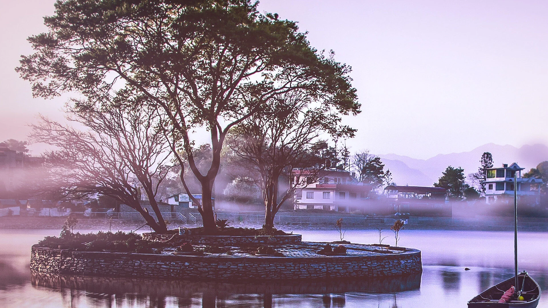
Oases In An Urban Jungle - Part II
Looking down upon the Kathmandu valley from various viewpoints, the rapid urbanization at times feels like an urban jungle. Towering buildings, widening roads, and shrinking open spaces has left little room for citizens and visitors to experience nature and its wonders. Discovering lush greenery, vibrant flora and sound of flowing water is as close to stumbling upon an oasis.
Looking down upon the Kathmandu valley from various viewpoints, the rapid urbanization at times feels like an urban jungle. Towering buildings, widening roads, and shrinking open spaces has left little room for citizens and visitors to experience nature and its wonders. Discovering lush greenery, vibrant flora and sound of flowing water is as close to stumbling upon an oasis.
Mentioned below are a few such sanctums which invoke solace and tranquillity.
Taudaha
Taudaha comes from a combination of two words in Nepal Bhasa (the dialect of the Newa people) ‘Ta’ meaning snake and ‘Daha’ means lake. A freshwater lake with profound biodiversity Taudaha holds cultural and religious significance for Newa citizens of the valley. Believed to be a remnant pool of a lake that once covered the entire valley. “ According to mythology, a Buddhist mythical character Manjushree cut the hill in the valley’s south, allowing the lake’s water to drain off, thereby creating land that was duly occupied by people.”- Wikipedia
Home to 17 resident bird species, experts have recorded over 40 species in the lake area. Barn Swallow and Indian Cuckoo migrate to Taudaha during summer, whereas, The Great Cormorant, Ruddy Shelduck, Nothern Shoveler, Mallard Duck, Gadwall, Eurasian Coot, Northern Pintal and Common Teal migrate here during the winter.
Non-native fish species of carps over time have disrupted the ecosystem for native species such as barbs, catfishes and snakeheads. Reptiles such as checkered keelback and oriental garden lizard are sighted in this region frequently.
Surrounded by a well-paved path and sitting areas, locals and visitors get to indulge in morning and evening walks. Various other activities such as bird watching, meditation, yoga and hiking are also popular. Due to its cultural significance, swimming and fishing in the lake are not allowed.
Taudaha is a destination within the valley to rekindle ones spirit with nature accompanied by great hospitality and indigenous cuisine. An itinerary to Taudaha can also include a stroll in Manjushree Park and a hike to Adinath Lokeshwor Temple. The region is not just home to natural diversity but also a cultural one. Depending upon the season, various religious celebrations occur in the area such as Nag Panchami, Gunla and Kartik Mela.
Sundarijal
‘Sundari’ translates to beautiful and ‘Jal’ water from Nepali to English. Sundarijal, a village located in Gokarneshwar Municipality: is a true oasis in an urban jungle.
An escape to Sundarijal features tantalizing encounters with waterfalls, water bodies and native wildlife. The river Bagmati originates from this region and holds great social, communal and religious significance to the citizens of the valley. It is also a prime source of drinking water for the valley of Kathmandu.
Fifteen kilometres (9 miles) north-east of Kathmandu,Sundarijal falls west of Gagalphedi; east of Nayapati and Baluwa and north of Aalapot. The northern portion of Sundarijal falls within Shivapuri National Park.
Sundarijal’s biodiversity consists mostly of pine, oak and rhododendron. The region maintains an average temperature of 25.5º C in summer and 0º C during the winter. Wildlife such as Himalayan black bear, leopard, jungle cat and rhesus monkeys are sighted. It is also home to 177 species of birds amongst which nine endangered. One hundred two species of butterflies also call this region home.
Due to its proximity to Kathmandu, it receives a substantial amount of weekender’s who come for a quick getaway. Various activities such as nature walks, hikes, bird watching and canyoning have gained popularity in this region. Treks to Lantang Range, Chisapani and other routes also begin from Sundarijal.
POPULAR ITINERARIES
SIMILAR POSTS
Exploring Nepal In Monsoon
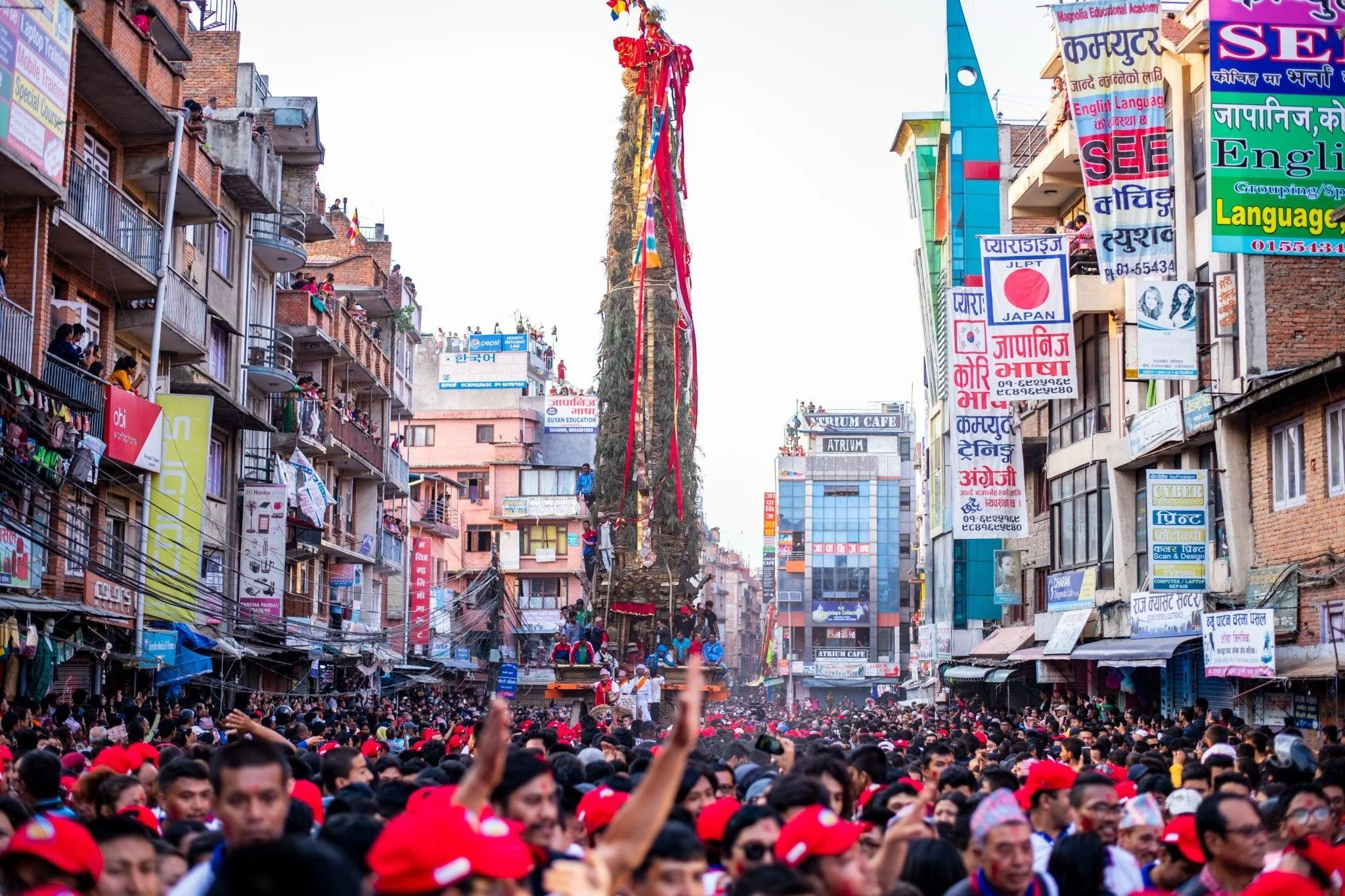
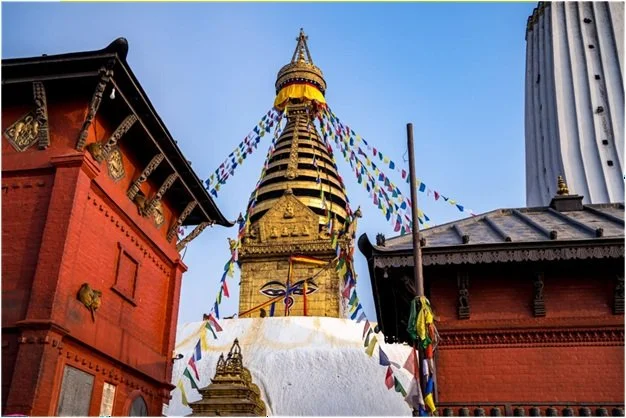
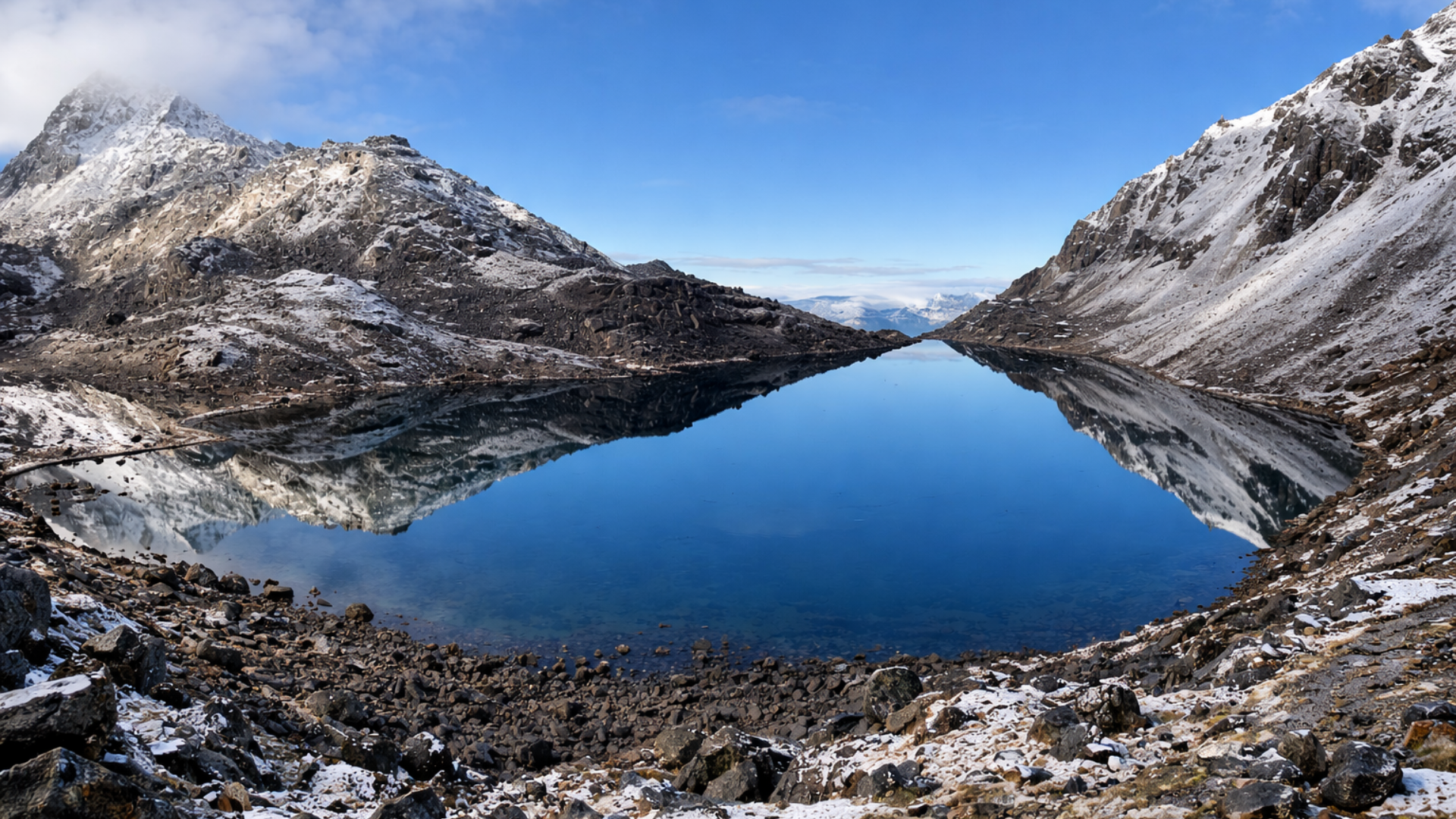
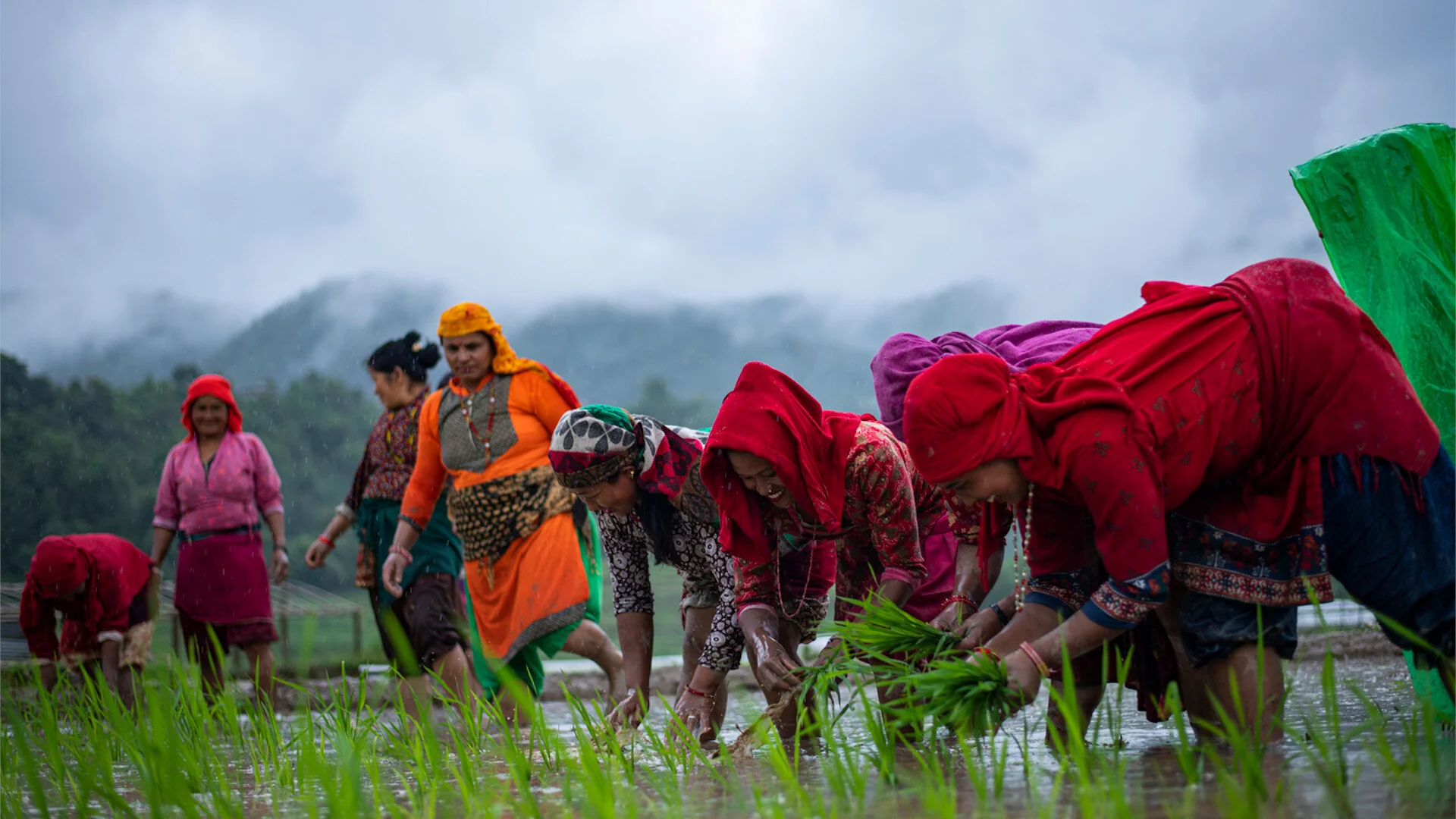
The general assumption when it comes to visiting Nepal is that one cannot do much here during the monsoon. It leads to a sharp decline in the number of international travellers and is considered off-season. Even though various adventure activities are not achievable during this period, it does not mean that one cannot experience Nepal. There are various regions which are accessible and regional activities one can experience. Before we dive into it, let us know more about the impact of the season in general.
The general assumption when it comes to visiting Nepal is that one cannot do much here during the monsoon. It leads to a sharp decline in the number of international travellers and is considered off-season. Even though various adventure activities are not achievable during this period, it does not mean that one cannot experience Nepal.
There are various regions which are accessible and regional activities one can experience. Before we dive into it, let us know more about the impact of the season in general.
The pre-monsoon period falls in the last few weeks of the Grishma, which is the hottest season in Nepal. This season features the highest temperatures in most regions of Nepal which are accompanied by light to heavy rainfall in the last weeks of the month. The monsoon also is known as the Barsha, which is also peak monsoon between Mid-July and lasts in average till Mid- Late September.
Travellers can face difficulty when it comes to connecting national and international flights due to weather disruptions. Roads in some part of Nepal become inaccessible due to the rain, landslides and flash floods. But the other elements such as communication, accommodation and amenities are available during this season.
Trekking the Trans-Himalaya Region
Most trekking trails are inaccessible during the monsoon. But routes that lie in the shadow of Trans-Himalaya which experiences minimal rainfall are at there best during this time. (Trans Himalaya was created due to the collision with the Eurasian plate. This zone is the Northernmost area in the country in the states of Jammu and Kashmir and Himachal Pradesh. It is an extension of Tibetan plateau around the Himalayas- Wikipedia).
Trails such as Upper Mustang Trek, Nar-Phu Valley Trek, Tsum Valley and Manaslu Circuit Trek, Phoksundo Lake Trek, Lower Dolpo Trek, Simikot Circuit Trek, Lower Mustang Trek, Limi Himal Trek are some of the trails that one can indulge.
Due to the prevalent trend, this season features a low number of trekkers which leads to less crowding, and the various lodges and homestays have rooms easily accessible. Travellers should be prepared with measures if rainfall occurs. Such equipment and gears are available in the tourist markets of Nepal.
The prime advantage of traversing these trails during this season is not just the low crowds, reduced rates, but also the fact that the biodiversity in these regions during this period is immense. Waterfalls which would be dry during other seasons are lush, and the flora is at peak blossom.
A Cultural Experience
The period between Mid- July to Mid- September is a time of ample cultural festivities, especially in the areas with a predominantly Newar community. The Newa people are the indigenous inhabitants of Kathmandu valley. Predominantly an agrarian society, the cultural activities of the Newa people begin after the completion of the annual harvest which falls on Mid-July to August.
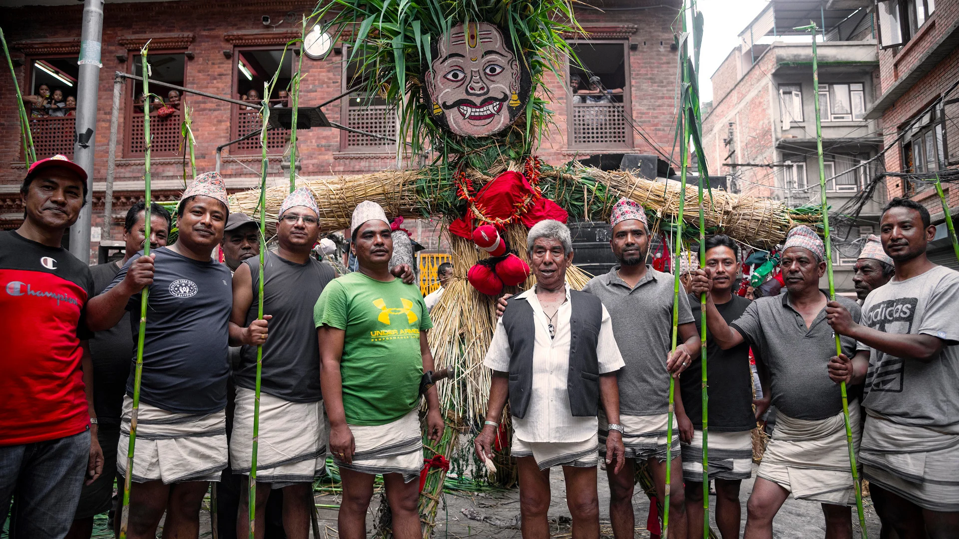
Gathamung Chare, commonly known as Gatha Muga, begins the festive season. Dedicated to ridding demons and purifying one's vicinity, the highlight of the day is an effigy created from straw and bamboo symbolizing a demon. Children with the help of their elders create voodoo dolls which are hug on the effigy. After sunset, the figure is dragged by the community members and burnt at the nearest river to symbolize ridding the demon.
To know more about Gathamung Chare: Click Here
Gunla Dharma, Indra Jatra, Pancha Dan, Gai Jatra, Matya are some of the festivals celebrated during the monsoon period.
For travellers who wish to experience cultural diversity, explore and engage in the rich heritage of Newar culture, this period is optimal.
Off The Beat Adventures
Peak monsoon can cause disruptions in ones scheduled itinerary. Many can't seem to find a great way to make the most out of their time. One can always go beyond the beat and develop a productive itinerary with various activities around the area.
One may choose to explore traditional Nepali cuisine at the hotel and learn more about the rich culinary diversity of the region. A rejuvenating day at the spa could help give you the boost needed on a rainy day. Hotel Shanker includes Tranquility Spa, which offers massage and beauty services.
A quick drive to the various museums of Nepal could also be a great way to make good of the free time. Immersing oneself in the history of the region is a great way to understand the make of the people and their society.
POPULAR ITINERARIES
SIMILAR POSTS
Best Sunrise Views in Nepal – Part II
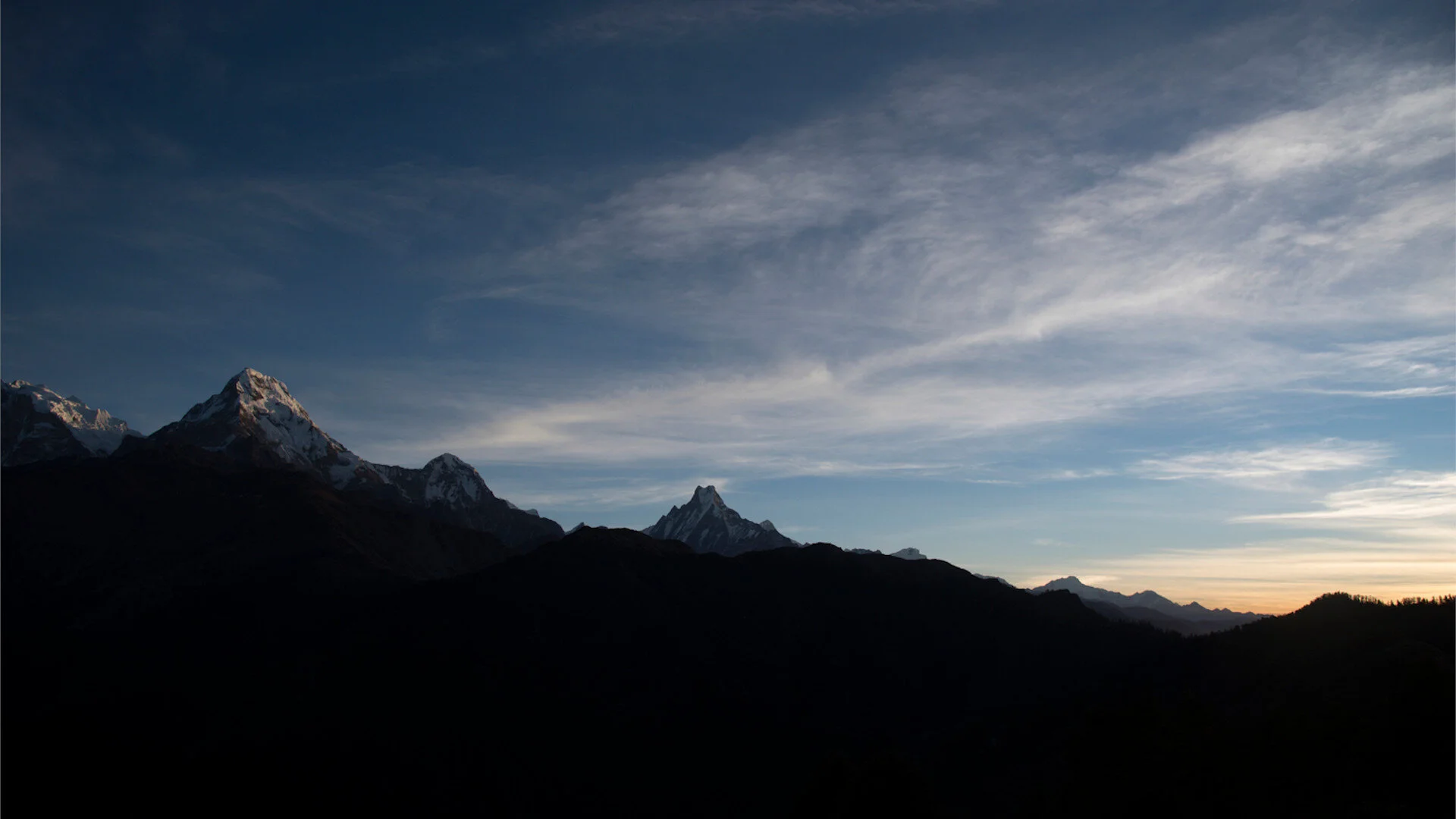
Sunrise View in Nepal is one of the popular and most rewarding tour activities in Nepal. Not only popular for the breathtaking views of the sunrise and sunset over the giant mountain peaks, it is also one of the best way to view the heavenly panoramic Himalayas of Nepal.
Nothing beats a warm cup of tea as you wait for the sun to bring light to the world. A country blessed with serene mountains and topography, Nepal truly at times resonates with the thoughts of Shangri-La. Amidst the numerous destinations to visit and experience in Nepal, the sites mentioned below share in common a vantage to experience the beauty of a sunrise and sunset.
Thus, if you plan on visiting these destinations shortly, make sure to have your itinerary include this magical experience.
4. Poon Hill
5. Kala Patthar
Required for Trek
Trekkers Information Management System (TIMS) Card
SAARC
NRS. 300/USD 3 (Per Individual in group trekkers)
NRS. 600/USD 6 ( Free Individual Trekkers)
Foreigners
NRS. 1000/ USD 10 (Per Individual in group trekkers)
NRS. 2000/ USD 20 ( Free Individual Trekkers)
Obtain TIMs card from:
Tourist Service Centre
Nepal Tourism Board Office, Bhrikutimandap, Kathmandu
Poon Hill
Attraction: Poon Hill View Tower, Cultural Experience, Tea House Trekking
Altitude: 3210 m
Accessibility:
Closest Airport: Pokhara Airport (PKR)
Distance From Kathmandu: 177 KM
Distance from Ghorepani: 13.4 KM
ACAP Trekking Permit:
SAARC
NRS. 200/ USD 2
Foreigners
NRS. 3000/ USD 30
Tourist Service Centre
Nepal Tourism Board Office, Bhrikutimandap, Kathmandu
Nepal Tourism Board Office, Damside, Pokhara
A jewel of the Annapurna Circuit Trek the summit of Poon Hill at the altitude of 3210 m is a climb one has to make before the crack of dawn if one wishes to witness the magnificent sunrise. One can plan an itinerary to Poon Hill from a 4-day trek to 7 or complete the entire Annapurna Circuit Trek.
A 4-day itinerary features a trek that begins from Nayapul to Ulleri, Ghorepani, Poon Hill and treks to Ghandruk Village. This route can be taken from the opposite direction, where one can begin their trek from Ghandruk. Many choose to make this trek from the direction of Ghandruk, as it features fewer uphill steps. The infamous steps of Ulleri fall on the downward direction if this trek is made from Ghandruk.
The peaks of Dhaulagiri, Annapurna I, Annapurna South, Machapuchare, Annapurna II, Annapurna III, Gangapurna, Tukuche Peak, Dhampus Peak, Hiunchuli, Gurja Himal, Nilgiri Himal are visible from the viewpoint of Poon Hill. The most recommended season to make this trip is post-monsoon beginning September to May.
Kala Patthar
Attraction: Kala Patthar Sunrise and Sunset View, Everest Base Camp Trek, Gokyo Ri Complex, Gorakshep, Namche Bazar
Altitude: 5545 m
Accessibility:
Closest Airport: Lukla Airport (LUA)
Distance From Kathmandu: 150 KM
Distance from Namche Bazar: 22.1 KM
Sagarmatha National Park/ Everest Base Camp Permit Cost
SAARC
NRS. 1500/ USD 15
Foreigners
NRS. 3000/ USD 30
Obtain a permit from:
Tourist Service Centre
Nepal Tourism Board Office, Bhrikutimandap, Kathmandu
The entry point of Sagarmatha National Park
Monzo, Solukhumbhu
Khumbu Pasang Lhamu Rural Municipality Entrance Permit
(Charge levied not only to trekkers but also to the tourists who tour the region via helicopter) NRS. 2000/ USD 20
Obtain a permit from:
The entry point of Sagarmatha National Park, Monzo, Solukhumbhu
The viewpoint of Kala Patthar translates to ‘Black Rock’, is generally viewed as a short hike from Gorka Shep during ones trek to Everest Base Camp. The base of Kala Patthar stands at 5,644 m above sea level and is maximum altitude one can reach during one's trek to EBC. Kala Patthar is famous for two things; the spectacular view of Everest and the brave the infamous sunrise and sunset. To achieve viewing the sunrise and sunset from Kala Patthar, one must have a few days to spare at Gorak Shep. The viewpoint of Kala Patthar is a 2-3 hour hike from Gorak Shep and one can manage to view the sunrise and sunset if s/he plans his/her hours accordingly.
A few tips for those who wish to make the sunrise trip to Kala Patthar
1. Recommended during the months of September- November.
2. Keep an eye on the temperature. Make sure to look out for sudden temperature drops before deciding to make this trip and be prepared with extra layers just in case.
3. Make sure your devices are charged to the max. The cold drains the batteries of your devices fast, thus make sure to either carry spare batteries for your DSLR.
4. Have a good nights sleep and a hearty meal.
5. Sunrise in the region generally is between 5:00- 6:00 AM. If one is to make it on time, they must leave between 3-3:30 AM as the trek averages out 2-3 hours.
6. Don’t get up and go! Many trekkers make the mistake to sleep a bit late, look at the clock and make a run for it. This is normally never recommended, as your body hasn’t gotten the time to normalize and completely wake up. Thus, no matter how late you are; its recommended to some time, normalize breathing, stretch and drink a little amount of water before heading out.
7. Wear fresh and dry pair of socks.
8. Carry a freshly boiled bottle of water.
9. Only carry the essentials and make sure to not forget energy bars.
POPULAR ITINERARIES
SIMILAR POSTS
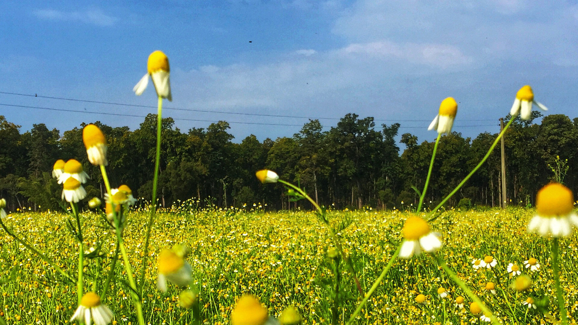
Exploring a part of Far West - Nepal
Far-West Region, less known part of Nepal holds the beauty that one should visit while traveling to Nepal. Jungle Safari at Shuklaphanta National Park, visiting Dohara Chandani bridge Nepal’s longest bridge touring around Mahendranagar, are undoubtedly becoming newest tourist destinations in Nepal.
Travelling to a city that is underrated for its beauty has a different feel. Far-West is the region, where most people are aware of its existence but rarely consider it as a travel destination. I and my amigos take on a road trip to this unknown destination to explore the place, culture and food.
You always have an option to fly, but for me, 18 hours of night bus journey with my amigos sounds more fun. We left the valley at around 6 in the evening and reached Dhangadi by noon the very next day. Fortunately, enough one of my friends is from Dhangadi and her family welcomed us wholeheartedly. Our plan for this trip was to explore Dhangadi, Mahendranagar and visit the nearest Indian border, Paliya.
As soon as we reached Dhangadi the first thing to try is the local “Tato Panipuri”. One can find these stalls almost everywhere. Crunchy puri filled with warm and spicy mashed potato and beans dipped in mouthwatering spiced water is all you would have wanted. Typically panipuri found in the valley offers cold mashed potato with onions, spices and only one type of pani (water) however the warm fillings with khatha (sour) and mitha (sweet) pani is just lips smacking good.
Just a few kilometres away from the main city is Shivapuri Dham which houses the world’s tallest Shiva linga. Taking a tuk-tuk from there, we visited Jhokhar Taal, a place where one can enjoy peace of mind and appreciate the beauty of nature.
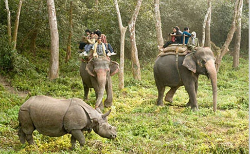
Almost an hour drive from Dhangadi is Mahendranagar. Places you shouldn’t be missing out here are Shuklaphanta National Park, Dodhara Chandani Bridge and Linga. We booked a Jeep for our jungle safari at Shuklaphanta, which is a must-try activity. Our tour guide was kind enough to share a cup of tea and some cookies for each one of us during our safari and explain the history of Shuklaphanta and how the place Mahendranagar was born. Almost after 4 hours of jungle safari which was breathe taking we visited Dodhara Chandani Bridge, which is Nepal’s longest bridge measuring 1 kilometre. An hour of a bumpy ride on a tuk-tuk from Mahendranagar bus park, Linga is a religious place with naturally formed stones which resembles tall sandcastles. A photograph of this place cannot justify the beauty which was seen at the moment. According to locals, the stones grow tall gradually as time passes.
Our next destination was Paliya, the nearest border of India from Dhangadi. An hour of the bus ride (which has a terrifying story in itself) from Nepal-India Border, we reached Paliya, India. With some shopping done, we went to a dhaba (local Indian restaurant) which serves one of “The best Indian food”.
A week journey to the far-west was joyous and fun. My favourite part of travelling with my amigos was making memories that will remain forever and the jungle safari at Shuklaphanta National Park. The less known part of our country holds the beauty that should be visited at least once.
Unnati Nyachhyon
POPULAR ITINERARIES
SIMILAR POSTS

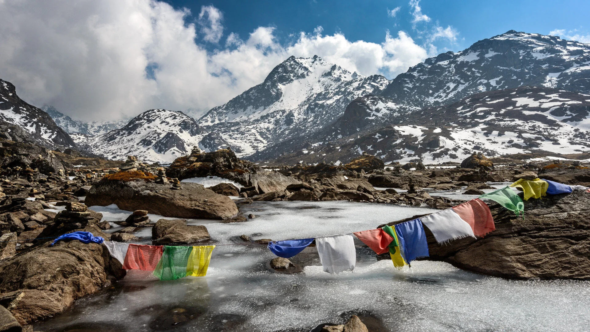
National Parks In Nepal - Part II
Nepal is home to an avid diversity of flora and fauna, which range from the lowlands of Terai to the Himalayan mountains. Each bio-zone host's multiple ecosystems, which are called home by thousands of species of birds, mammals, reptiles and amphibians.
Nepal is home to an avid diversity of flora and fauna, which range from the lowlands of Terai to the Himalayan mountains. Each bio-zone host's multiple ecosystems, which are called home by thousands of species of birds, mammals, reptiles and amphibians. Nepal’s natural beauty has always been its pride and conserving it has always been a top priority. Thus under the National Parks and Wildlife Conservation Act, 2020 (1973AD), the government of Nepal created the guidelines to declare and maintain National Parks, Conservation Areas, and Hunting Reserves
Khaptad National Park
Shey Phoksundo National Park
Bardiya National Park
Makalu National Park
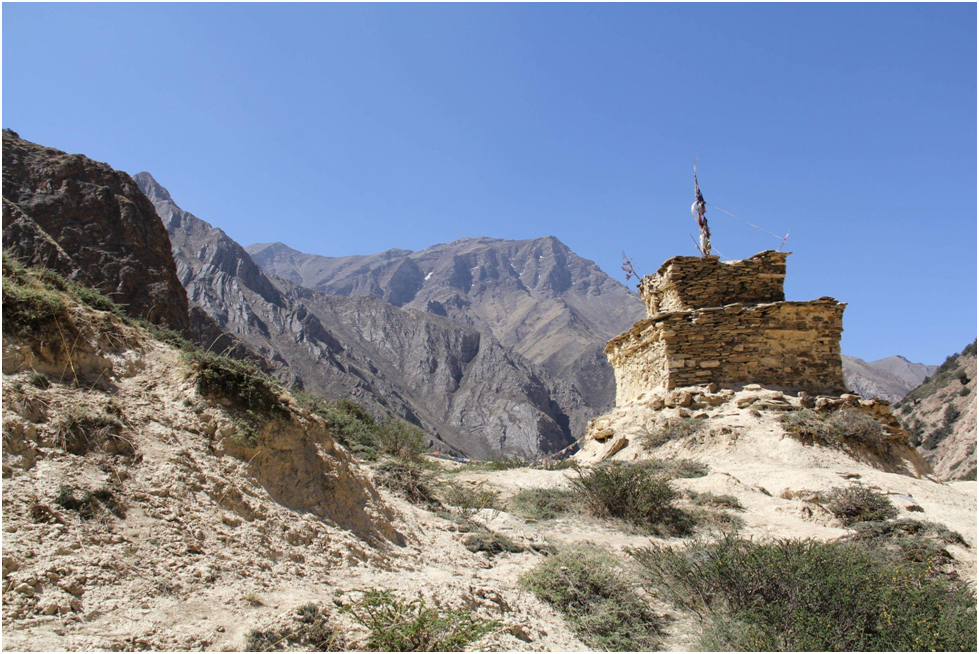
Today the protected areas of Nepal cover mainly forests and are located at various altitudes in the Terai, as well as in the foothills of the Himalayas and the mountains themselves. Nepal even though is small in terms of area size covering only 147,181 sq km. The altitudes range from 67 m to 8,848m. This extreme altitudinal gradient has resulted in 11 bio-climatic zones ranging from lower tropical below 500m to nival above 5,000m in the High Himalayas encompassing nine terrestrial ecoregions with 36 vegetation types. The government of Nepal under the National Park and Wildlife Conservation Act, 2020(1973AD) established a total of 12 National Parks, 1 Wildlife Reserves, 6 conservation Areas and 1 Hunting Reserve. In 2017, the Shuklpahanta and Parsa Wildlife Reserves were upgraded into National Parks.
In this series of articles, we explore the various National Parks, their level of accessibility and attractions.
Khaptad National Park
Province: 7
Distance From Kathmandu: 448 km
Accessibility: 2-day trek from Silgarhi Bazar. One can reach Silgarhi Bazar either by taking a flight to Dhangadi and driving to Silgarhi Bazar (6hrs) or get a bus to Attariya Chowk, Kailali from Central Bus Station in Kathmandu and then it's another 9 hours to reach Silgarhi Bazar via a local bus.
Attraction: Ashram of Khaptad Baba, Saileswori, Ramroshan, Bird Watching, Trekking, Wildlife Photography.
Khaptad National Park was established in 1984 on the advice of the region's holy man Khaptad Baba. The renowned Khaptad Baba Ashram, a religious site where Hindu pilgrims come to worship Shiva on the full moon of July–August each year, is located near the park headquarters. A buffer zone of 216 km2 (83 sq mi) was declared in 2006. Khaptad Baba moved to the area in the 1940s to meditate and worship. He spent about 50 years as a hermit and became a renowned spiritual saint. Khaptad National Park is a protected area in the Far-Western Region, Nepal that was established in 1984. Stretching over the four districts of Bajhang, Bajura, Achham and Doti it covers an area of 225 km2 (87 sq mi) and ranges in elevation from 1,400 m (4,600 ft) to 3,300 m (10,800 ft).
Shey Phoksundo National Park
Province: 6
Distance From Kathmandu: 315 km
Accessibility: By air, Shey Phoksundo can be only accessed through Nepalgunj or which has to take a flight to Nepalgunj and from there to Juphal in Dolpa. By road, it makes 3 hrs 40 minutes to reach Shey Phoksundo National park via a private vehicle.
Attraction: Shey Phoksundo Lake, Trekking, Shey Gompa Monastery, Crystal Mountain, Landscape Photography
Season: Spring and Autumn
Shey Phoksundo National Park is the largest and only trans-Himalayan national park in Nepal. It was established in 1984 and covers an area of 3,555 km2 (1,373 sq mi) in the districts of Dolpa and Mugu in the Mid-Western Region, Nepal. The protected area ranges in elevation from 2,130 to 6,885 m (6,988 to 22,589 ft).Phoksundo Lake is the park's prominent feature, located at an elevation of 3,612 m (11,850 ft). Shey Phoksundo National Park provides a diversity of spectacular landscapes and ranks among the most scenic mountain parks in the world. Much of the park lies north of the Himalayan crest. Elevations range from 2,130 m (6,990 ft) in the southeast near Ankhe to 6,883 m (22,582 ft) at the summit of Kanjiroba Himal, which lies at the southern edge of the Tibetan plateau. Phoksundo Lake lies at an elevation of 3,660 m (12,010 ft) in the upper reaches of the Suligad river. It is surrounded by glaciers and famous for its magnificent turquoise colour. Near the lake’s outlet is the country’s highest waterfall.
Phoksundo Lake has a water surface of 494 ha (1,220 acres) and was declared a Ramsar site in September 2007. The lake is up to 145 m (476 ft) deep, measured using echo-sounding technology.
The Langu river drains the high Dolpo plateau located in the north-east of the park. The Suligad and Jugdual rivers form the southern catchment flowing south into the Thuli Bheri River.
Bardiya National Park
Province: 5
Distance From Kathmandu: 376 km
Accessibility: By Air Kathmandu- Nepalgunj from where the park is 87 km. One can then catch a bus to Mahendranagar or Dhangadi via Ambassa then change the bus to Thakurdwara for Baridya National park. The drive takes around 3 hours by public bus.
By Road, one can catch a bus to Mahendranagar or Dhangadi via Ambassa Bardia. The drive averages out to 13 hours.
Attraction: Adventure Hikes, Bird Watching, Tiger Sighting, Butterfly Watching, Wildlife Encounters, Landscape and Wildlife Photography
Bardiya National Park is a protected area in Nepal that was established in 1988 as Royal Bardia National Park. Covering an area of 968 km2 (374 sq mi) it is the largest and most undisturbed national park in Nepal's Terai, adjoining the eastern bank of the Karnali River and bisected by the Babai River in the Bardiya District. Its northern limits are demarcated by the crest of the Siwalik Hills. The Nepalgunj-Surkhet highway partly forms the southern boundary, but seriously disrupts the protected area. Natural boundaries to human settlements are formed in the west by the Geruwa, a branch of the Karnali River, and in the southeast by the Babai River.
Together with the neighbouring Banke National Park, the coherent protected area of 1,437 km2 (555 sq mi) represents the Tiger Conservation Unit (TCU) Bardia-Banke that extends over 2,231 km2 (861 sq mi) of alluvial grasslands and subtropical moist deciduous forests.
Makalu National Park
Province: 1
Distance From Kathmandu: 175 km
Accessibility: By air to Lukla, Phaplu, Lamidanda, Bhojpur or Tumlingtar. After which one can take a means of public transport to reach the national park
Season: Spring and Autumn
Attraction: Bird Watching, Trekking to Yangle Kharka, Snow Leopard Sighting, Wildlife Encounters, Landscape Photography
Makalu Barun National Park is a national park in the Himalayas of Nepal that was established in 1992 as an eastern extension of Sagarmatha National Park. It is the world's only protected area with an elevation gain of more than 8,000 m (26,000 ft) enclosing tropical forest as well as snow-capped peaks. It covers an area of 1,500 km2 (580 sq mi) in the Solukhumbu and Sankhuwasabha Districts and is surrounded by a buffer zone to the south and southeast with an area of 830 km2 (320 sq mi).
The rugged summits of Makalu, with 8,463 m (27,766 ft) the fifth highest mountain of the world, Chamalang (7,319 m (24,012 ft), Baruntse (7,129 m (23,389 ft)) and Mera (6,654 m (21,831 ft)) are included in the national park. The protected area extends to about 66 km (41 mi) from west to east and about 44 km (27 mi) from north to south. From the Arun river valley in the southeast, located at altitudes of 344–377 m (1,129–1,237 ft), elevation gains about 8,025 m (26,329 ft) to the peak of Makalu. The national park shares the international border with the Qomolangma National Nature Preserve of the Tibet Autonomous Region in the north.
POPULAR ITINERARIES
SIMILAR POSTS
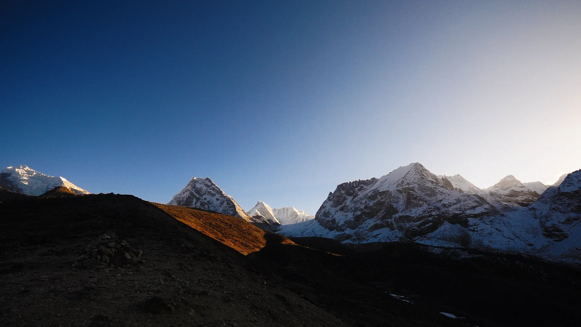
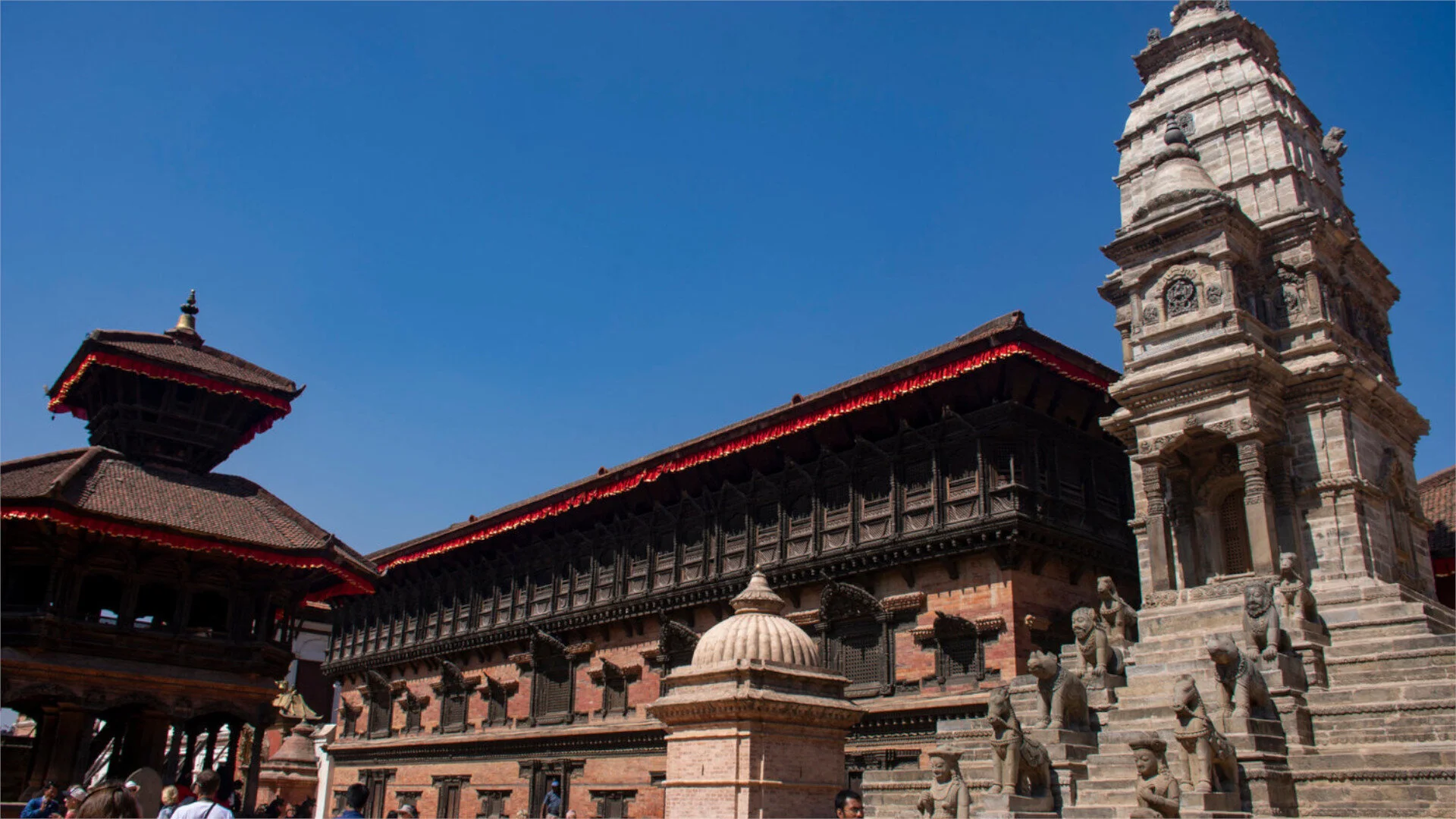
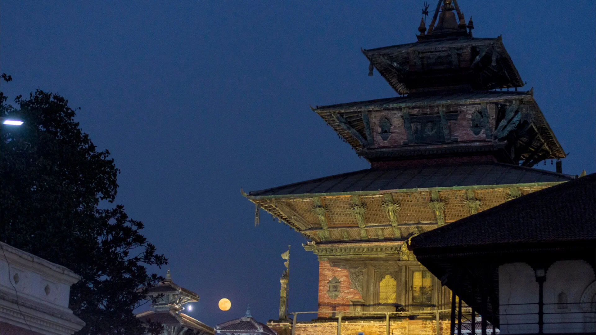
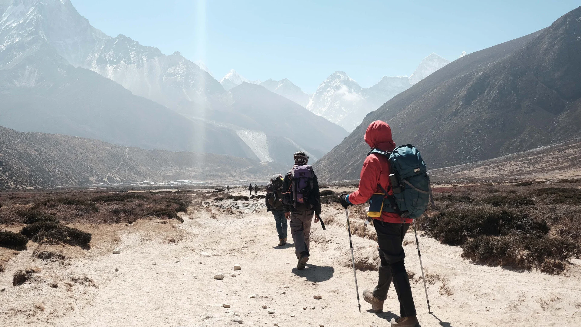
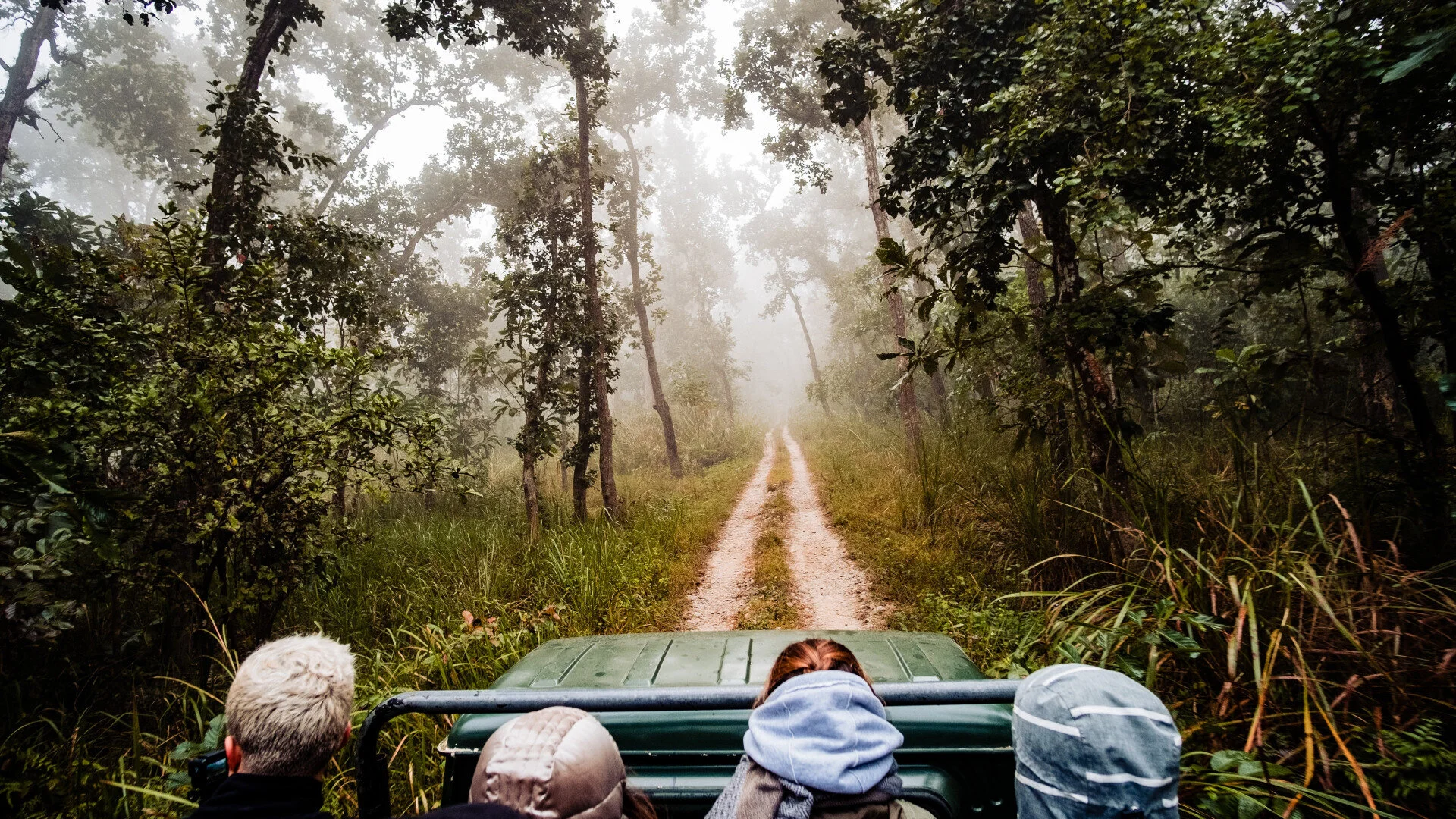
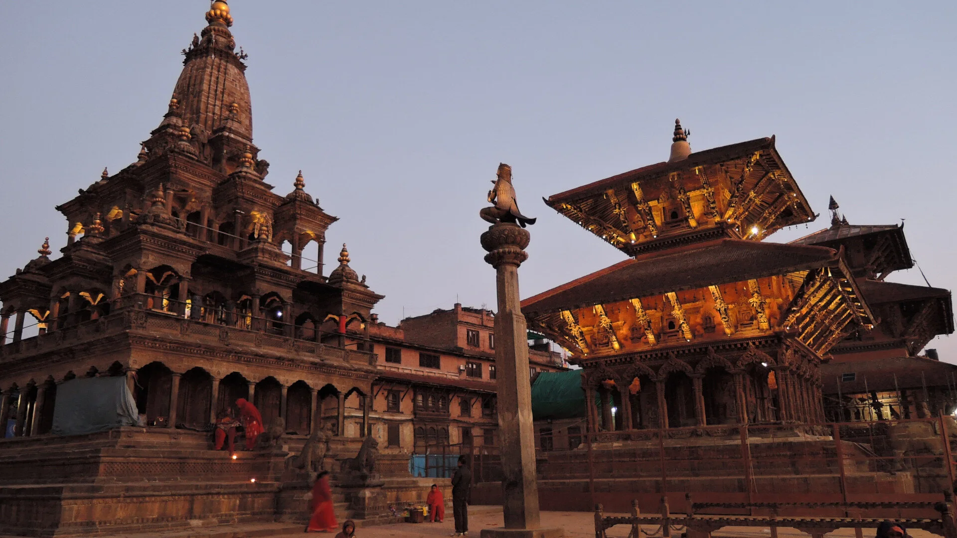
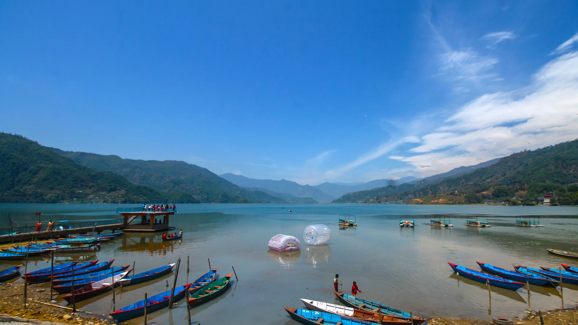

Cycle your heart through the City of Kathmandu
Kathmandu holds a surprising number of astonishing places in its edge and corners throughout the entire valley. One who like pedaling as an instinctive hobby, there are bunch of popular smooth as well as reckless trials routes for cycling all over the valley, perfect to adventurous preference.
Cycling routes in and around the city
Kathmandu - Kakani – Budhanilkantha
Bhaktapur - Nagarkot – Sankhu
Budhanilkantha - NagiGompa – Kapan
Mudkhu - Jhor – Tokha
Chovar - Bungamati - Khokana – Chapagaon
The busy city of Kathmandu holds a surprising number of astonishing places in its edges and corners throughout the entire valley. Along with being a home for the diverse cultures and their artifacts, there are a good number of rustic outdoor adventure options here as well. For instance, If you’re either a professional biker with a carefree spirit to ride or someone who just likes cycling as an instinctive hobby during the weekends, there are a bunch of smooth as well as reckless trials spread all over the valley, perfect for your adventure preferences, giving you a chance to explore more of your home through a new piece of experience. Here are a couple of cycling routes from in and around the city for you to add in to your new cycling itinerary!
Kathmandu - Kakani – Budhanilkantha
If you're looking for something that makes you step out of your comfort zone, this trial is the most prominent one for you. Most of its entire single-track trial being raw and crippled, the trial is quite challenging yet captivating for your outrageous adventurous spirit. Through the breath-taking mountain views that passes by as you cycle your heart out to the wild and alluring view of the valley on top of the Kakani hills, this will be one of your most memorable cycling experiences. So, grab yourself some nutritious and energy-giving snacks and pack all your cycling gear as you have a new journey waiting for you!
Bhaktapur - Nagarkot – Sankhu
Take your two-wheeled motivation out for an adventure through the culturally rich part of the valley to the green wonders mother nature has sprinkled around it. You can start your journey early in the morning with a fresh spirit, and cycle your way through the morning lives of Bhaktapur city. As you’re up for a long ride this time, the roads of the Nagarkot hills have a bird-eye view of the exotic mountains blending in with the city for you as you’re making way for your bike to reach the beautiful city of Sankhu.
Budhanilkantha - NagiGompa – Kapan
Start your journey at the edge of the city this time as well. Through the peaceful roads of Budhanilkantha that moves along to the jungles of the Shivapuri National park where the trees make way for the uphill road you’re cycling through. There is an easy 30 min long single track here that later joins back to the common road. Although the ride needs some skills and techniques when it comes to tackling the steepy slopes through the journey, as you go downhill, your love for adventure will grow as you breath in the rage you experience as you’re cycling down. When the ride ends at Kapan, you can put your bags down and have a nice meal with the beautiful view of the place, taking in your worth-the-while adventure.
Mudkhu - Jhor – Tokha
Going North, through an easy slope through the Trishuli Highway, you can reach Mudkhu, the centre point of many cyclists. With a list of options of tracks to take, you can cycle along the famous Trishuli highway up to Tinpiple admiring the view of rice-fields with light residence around them and the long forests that passes by. As you make it to Jhor, with some help from the locals, you can follow up with the confusing roads and find your preferred location to sit and rest for a bit. The waterfall here is also a good option to visit for a nice breather after the long ride. After a bit more cycling, as you return through the ancient Newari City of Tokha, make sure you enjoy and appreciate the delicious cuisines and the genuine kindness the locals have waiting for you.
Chovar - Bungamati - Khokana – Chapagaon
If you’re looking for a rather easy cycling expedition, start from the south of the valley at Chovar. As you cross the short upbeat roads of Chovar, the trials lead to the peaceful livelihood of Bungmati and Khokana, giving you a chance to breathe in the fresh and friendly air of the place and a fascinating view of the traditional settlements of people surrounded by the alive fields. As you continue your ride through the roads of Chapagaon, the greenery will please your experience with very less traffic and a neutral environment. However, if you’re still seeking for a spontaneous adventure for your free spirit, you have the option to continue your trial up to Raj Kulo to add in a bit more challenge to the journey. Alternatively, as well, you could take the route to Lakuri Bhanjyang and pay a nice short visit to toward the east, to the ancient city of Panauti.
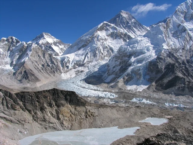
This trek is specially designed to reach the Everest Base Camp including Kala Pattar which is the best view point to view the sunrise over the high Himalayas including the Mt. Everest. This trek requires 13 days.
USD 1515 PER PERSON -- TWIN ROOM SHARING BASIS