
National Parks In Nepal - Part I
With an avid diversity of flora and fauna - which range from the lowlands of Terai to the Himalayan mountains, Nepal has several protected areas worth visiting. Nepal's National Parks are popular among the tourist for activities like tour and trek.
Nepal is home to an avid diversity of flora and fauna, which range from the lowlands of Terai to the Himalayan mountains. Each bio-zone host's multiple ecosystems, which are called home by thousands of species of birds, mammals, reptiles and amphibians. Nepal’s natural beauty has always been its pride and conserving it has always been a top priority. Thus under the National Parks and Wildlife Conservation Act, 2020 (1973AD), the government of Nepal created the guidelines to declare and maintain National Parks, Conservation Areas, and Hunting Reserves.
Chitwan National Park
Sagarmatha National Park
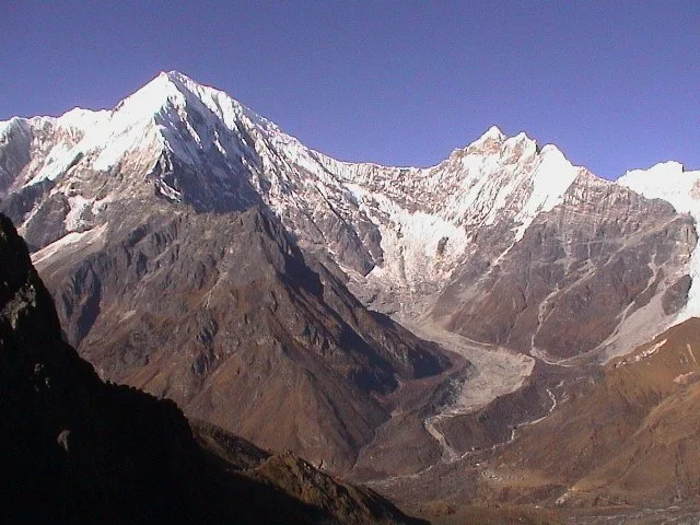
Langtang National Park
Rara National Park
Today the protected areas of Nepal cover mainly forests and are located at various altitudes in the Terai, as well as in the foothills of the Himalayas and the mountains themselves. Nepal even though is small in terms of area size covering only 147,181 sq km. The altitudes range from 67 m to 8,848m. This extreme altitudinal gradient has resulted in 11 bio-climatic zones ranging from lower tropical below 500m to nival above 5,000m in the High Himalayas encompassing nine terrestrial ecoregions with 36 vegetation types. The government of Nepal under the National Park and Wildlife Conservation Act, 2020(1973AD) established a total of 12 National Parks, 1 Wildlife Reserves, 6 conservation Areas and 1 Hunting Reserve. In 2017, the Shuklpahanta and Parsa Wildlife Reserves were upgraded into National Parks.
In this series of articles, we explore the various National Parks, their level of accessibility and attractions.
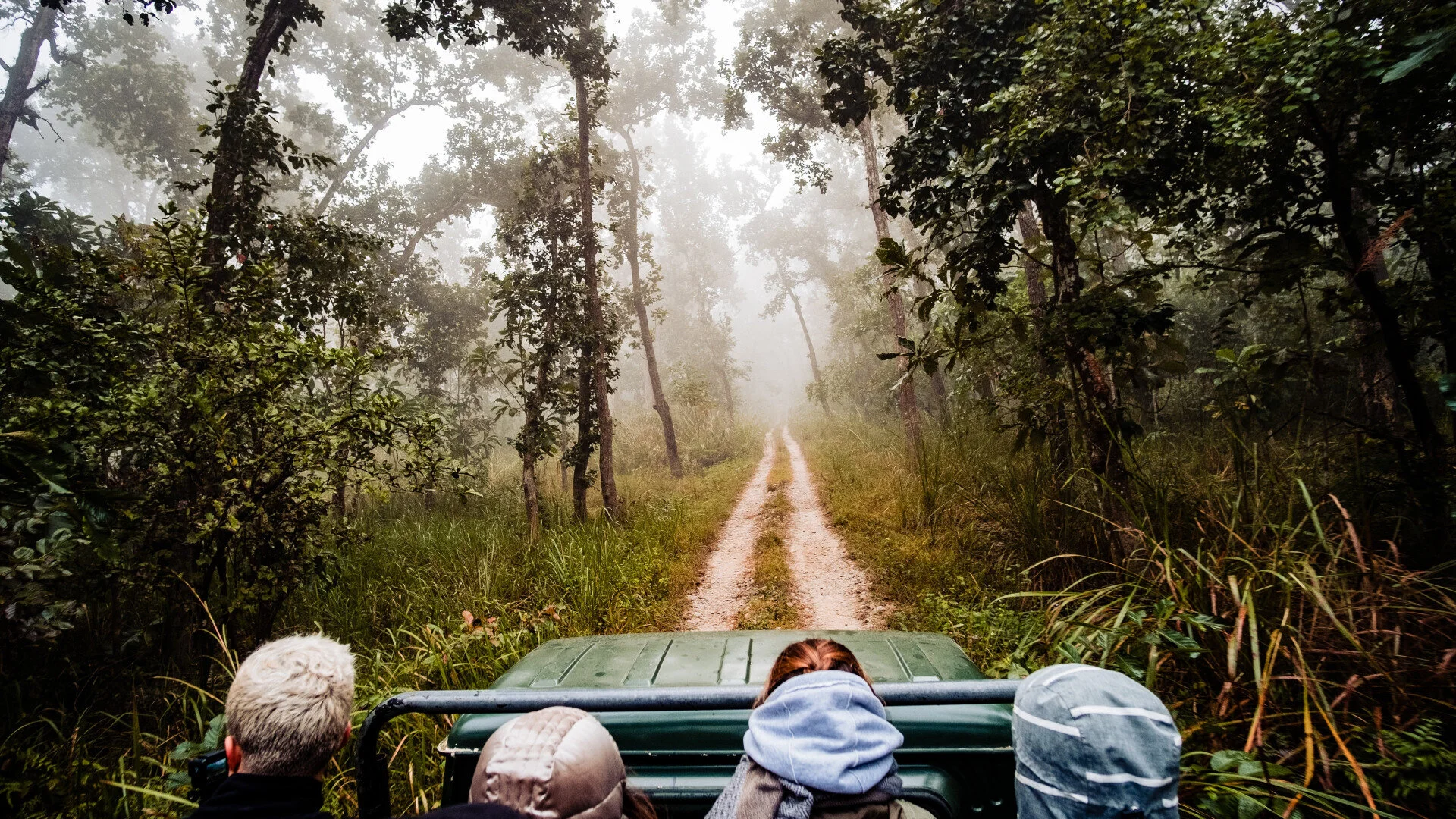
Chitwan National Park
Province: 03
Distance From Kathmandu: 170 Km
Accessibility: Deluxe Buses Available from multiple Bus Hubs in Kathmandu, Domestic Airlines offer direct flights from Pokhara and Kathmandu to Bharatpur
Attractions: Bird Watch, Natural Escape, Experiencing Tharu and Maithali Culture, Bishazari Tal ( Ramsar Site), CG Ashram, Jungle Safari, Wildlife Encounters, Wildlife Photography
Season: October to March ( Best siting of the wildlife is from January to March)
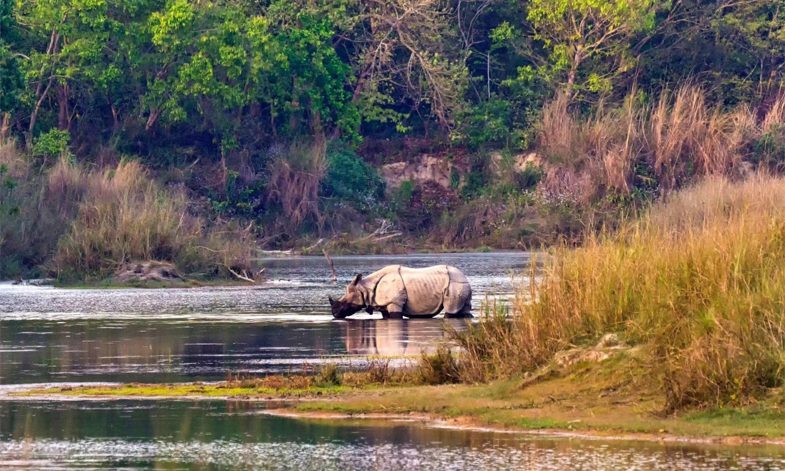
Chitwan National Park is the first national park in Nepal. It was established in 1973 and granted the status of a World Heritage Site in 1984 AD. It covers an area of 952.63 km2 (367.81 sq mi) and is located in the subtropical Inner Terai lowlands of south-central Nepal in the districts of Nawalpur, Parsa, Chitwan and Makwanpur. In altitude, it ranges from about 100 m (330 ft) in the river valleys to 815 m (2,674 ft) in the Churia Hills.
In the north and west of the protected area, the Narayani-Rapti river system forms a natural boundary to human settlements. Adjacent to the east of Chitwan National Park is Parsa National Park, contiguous in the south is the Indian Tiger Reserve Valmiki National Park. The coherent protected area of 2,075 km2 (801 sq mi) represents the Tiger Conservation Unit (TCU) Chitwan-Parsa-Valmiki, which covers a 3,549 km2 (1,370 sq mi) huge block of alluvial grasslands and subtropical moist deciduous forests.
Sagarmatha National Park
Province: 01
Distance From Kathmandu: 137 km
Accessibility: By Air, one can get flights to Tenzing - Hilary Airport at Lukla from Kathmandu, By road one can catch a bus to Jiri and trek to Sagarmatha National Park which is approximately a 10-day trek. One can also take the bus to Salleri and trek to Sagarmatha National Park which is a 5 days trek. Charter helicopters to Lukla are catered by multiple air groups as well.
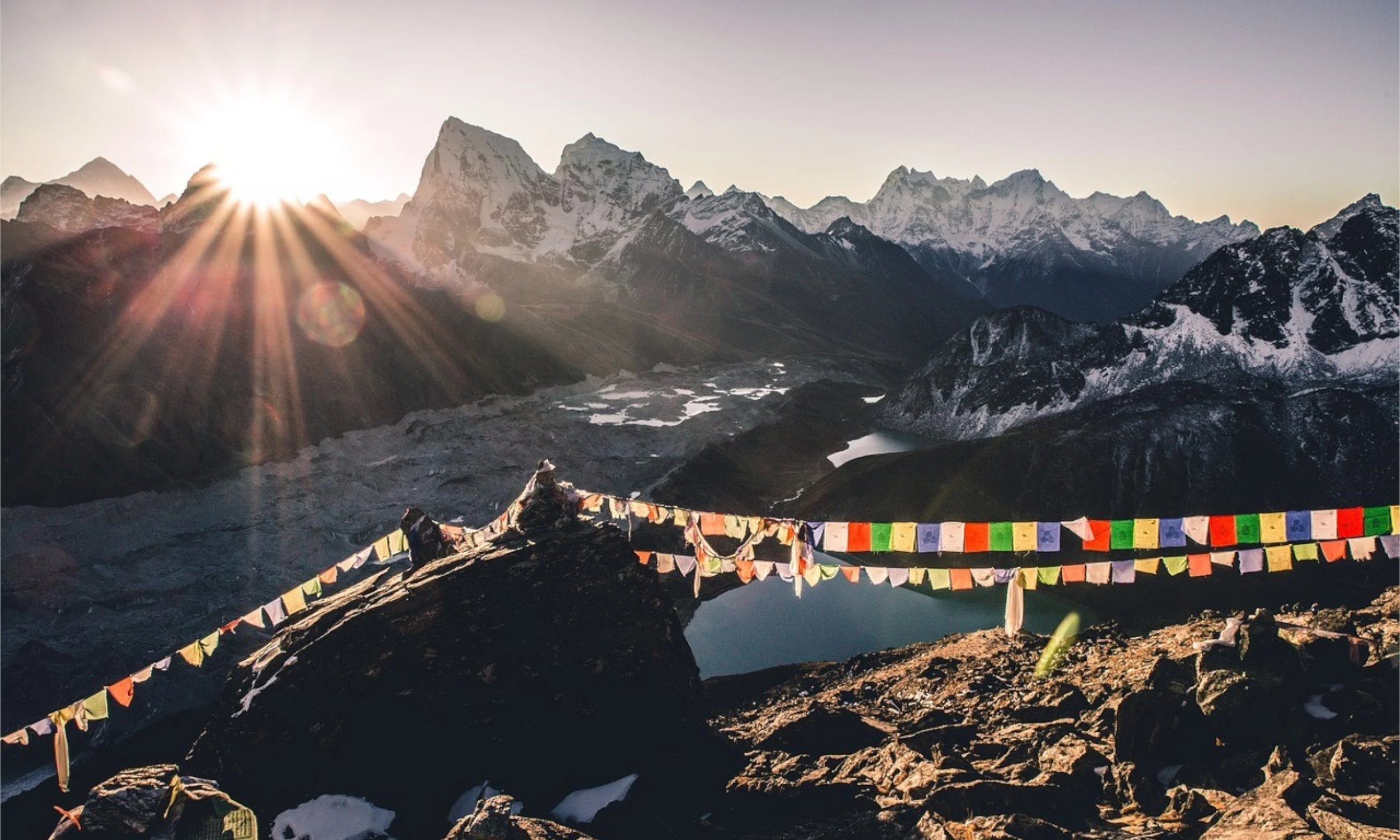
Attractions: Mt Everest, Ama Dablam, The Gokyo Complex, Tengboche Monastery, Kala Pathar, Landscape Photography, Experiencing Sherpa Culture, Wildlife Photography.
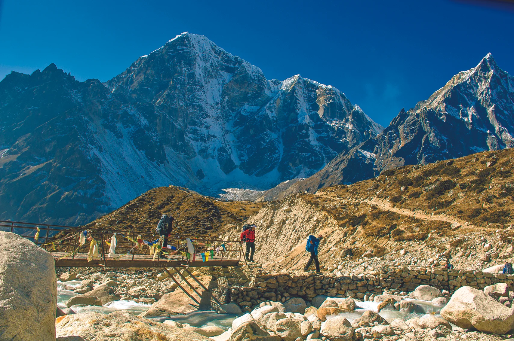
Sagarmāthā National Park is a national park in the Himalayas of eastern Nepal that is dominated by Mount Everest. It encompasses an area of 1,148 km2 (443 sq mi) in the Solukhumbu District and ranges in elevation from 2,845 to 8,848 m (9,334 to 29,029 ft) at the summit of Mount Everest. In the north, it shares the international border with the Qomolangma National Nature Preserve of Tibet. In the east, it is adjacent to Makalu Barun National Park, and in the south, it extends to Dudh Kosi river.] It is part of the Sacred Himalayan Landscape.
Langtang National Park
Province: 03
Distance From Kathmandu: 30 km
Accessibility: The Langtang Valley Trek begins from Syabrubesi which one can reach via a local or privately hired bus or jeep in 9 - 10 hours from Kathmandu.
Season to Avoid: Monsoon ( June- August)
Attractions: Gosaikunda Lake, Experience Tamang and Gurung Culture, Landscape Photography, Lantang Lirung Range, Sacred Ganesh Himal, Ganja La Pass, Kyanjin Gompa
Langtang National Park was established in 1976 as Nepal's first Himalayan national park and the country's fourth protected area. It exceeds an altitudinal range of 6,450 m (21,160 ft) and covers an area of 1,710 km2 (660 sq mi) in the Nuwakot, Rasuwa and Sindhulpalchok Districts of the central Himalayan region encompassing 26 village communities. In the north and east, it is linked with Qomolangma National Nature Preserve in Tibet. The western boundary follows the Bhote Kosi and Trishuli Rivers. The southern border lies 32 km (20 mi) north of the Kathmandu Valley.
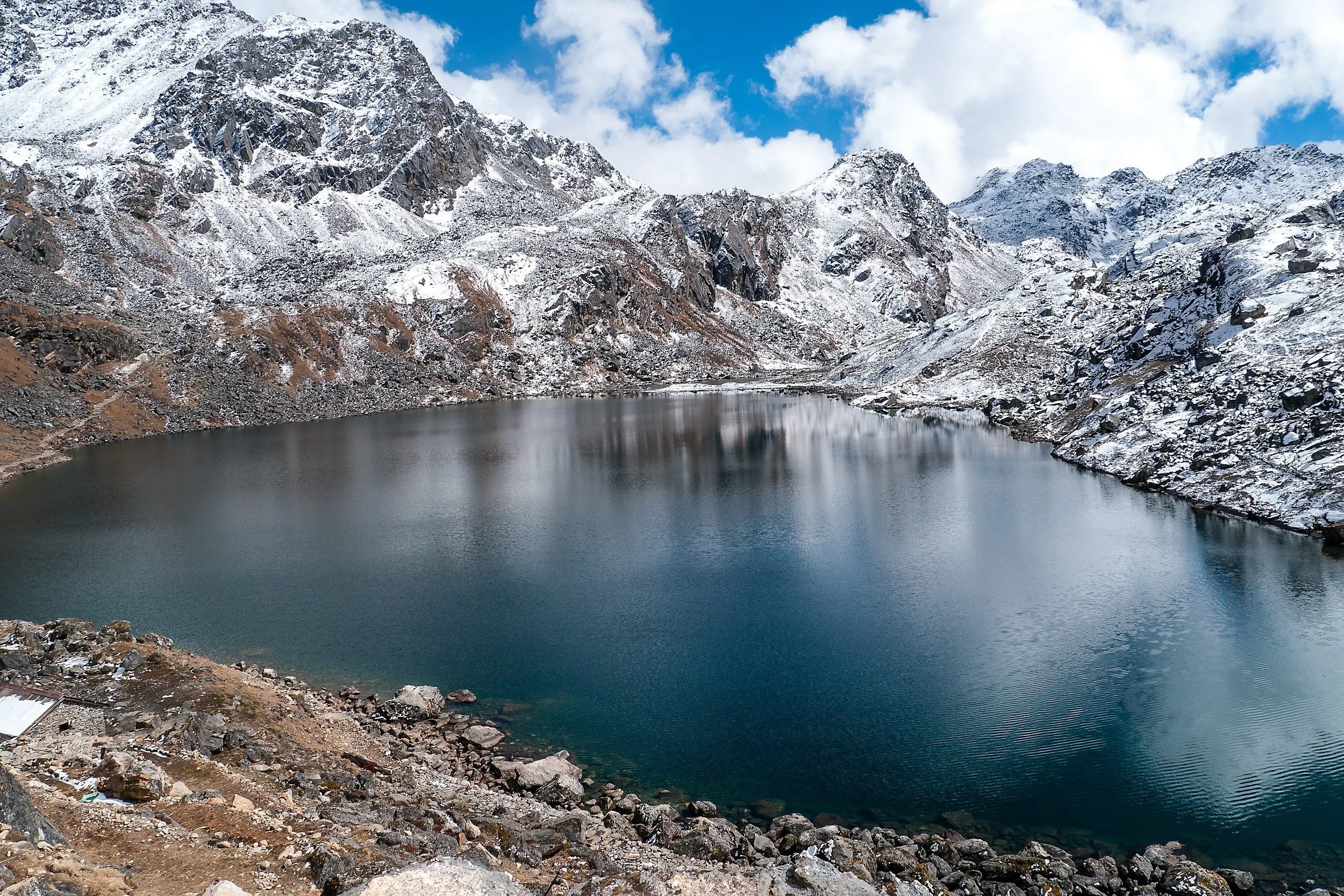
The high altitude sacred Gosainkunda lake is located at an altitude of 4,300 m (14,100 ft) inside the park. The Dorje Lakpa range at 6,988 m (22,927 ft) bisects the park from the west-east to south-east. The summit of Langtang Lirung (7,245 m (23,770 ft)) is the highest point in the park.
Rara National Park
Province: 06
Distance From Kathmandu: 375 km
Accessibility: To reach Rara region by air one must take a flight to Nepalgunj, and then from Nepalgunj to Jumla or Talcha (Rara) Airport. From the town of Jumla, it’s a 2-day trek to the National Park whereas from Talca Airport it’s a mere few hours walk to Rara National Park.
Attractions: Rala Lake, Juniper Forest, Landscape Photography, Wildlife Encounters, Bird Watching
Season: Spring, Summer and Autumn. Rara region can also be traversed in the winters but he uncertainty of the weather, low temperatures make the trip a little more difficult than normal.
Rara National Park is a protected area in the Himalayas of Nepal and was established in 1976. Covering an area of 106 km2 (41 sq mi) in the Mugu and Jumla districts, it is the country's smallest national park. Its main feature is Rara Lake at an altitude of 2,990 m (9,810 ft).[1] The park was established to protect the unique flora and fauna of the Humla–Jumla Region of Nepal.
The park ranges in elevation from 2,800 m (9,200 ft) to 4,039 m (13,251 ft) at Chuchemara Peak on the southern side of Rara Lake. On the northern side, the peaks of Ruma Kand and Malika Kand frame the alpine freshwater lake, which is the largest lake in Nepal with a surface of 10.8 km2 (4.2 sq mi) and a maximum depth of 167 m (548 ft). It is oval-shaped with an east-west axis, a length of 5 kilometres (3.1 mi) and a width of 3 km (1.9 mi) draining into the Mugu-Karnali River via Nijar Khola.
SIMILAR POSTS

Off-The-Beaten Paths not to miss this Visit Nepal 2020
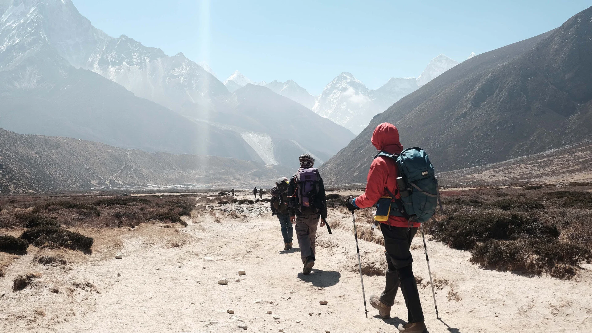
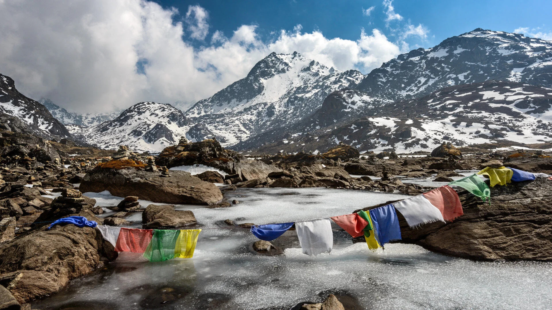
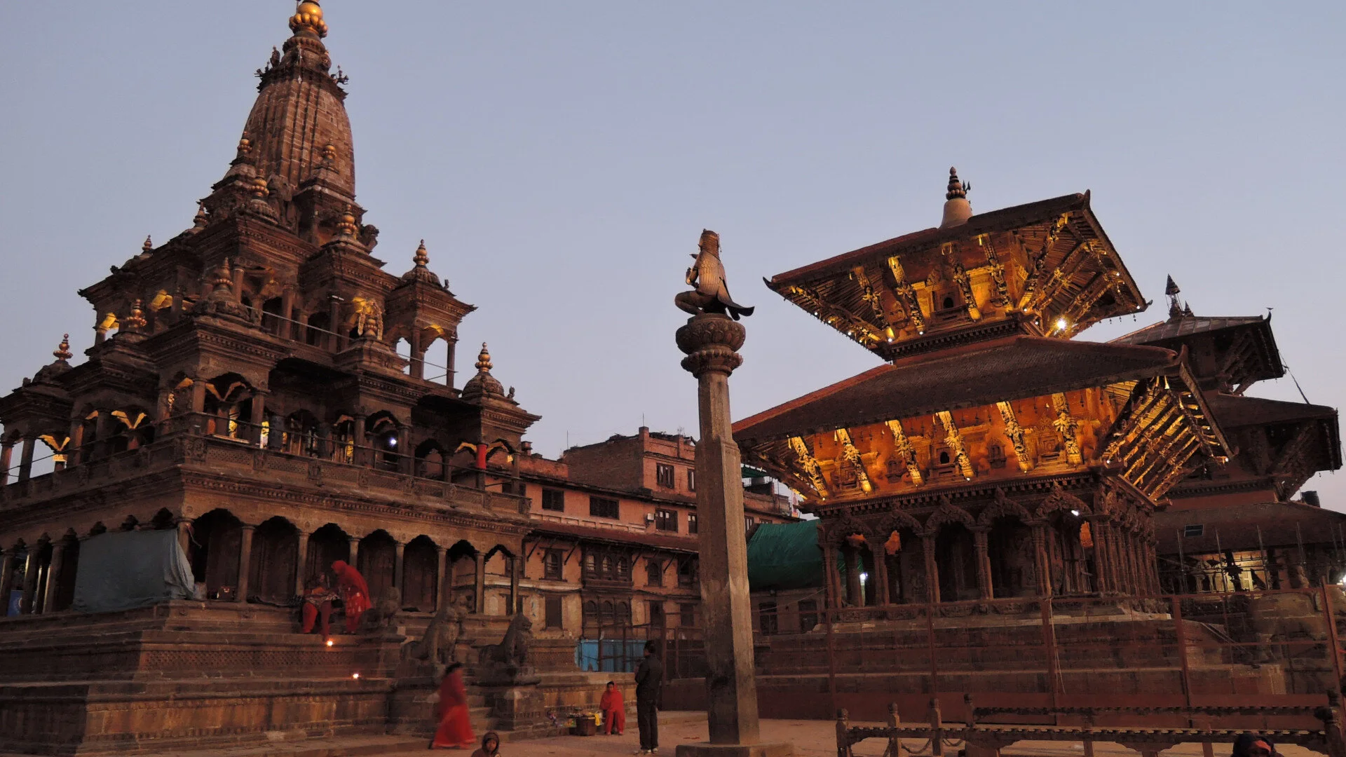
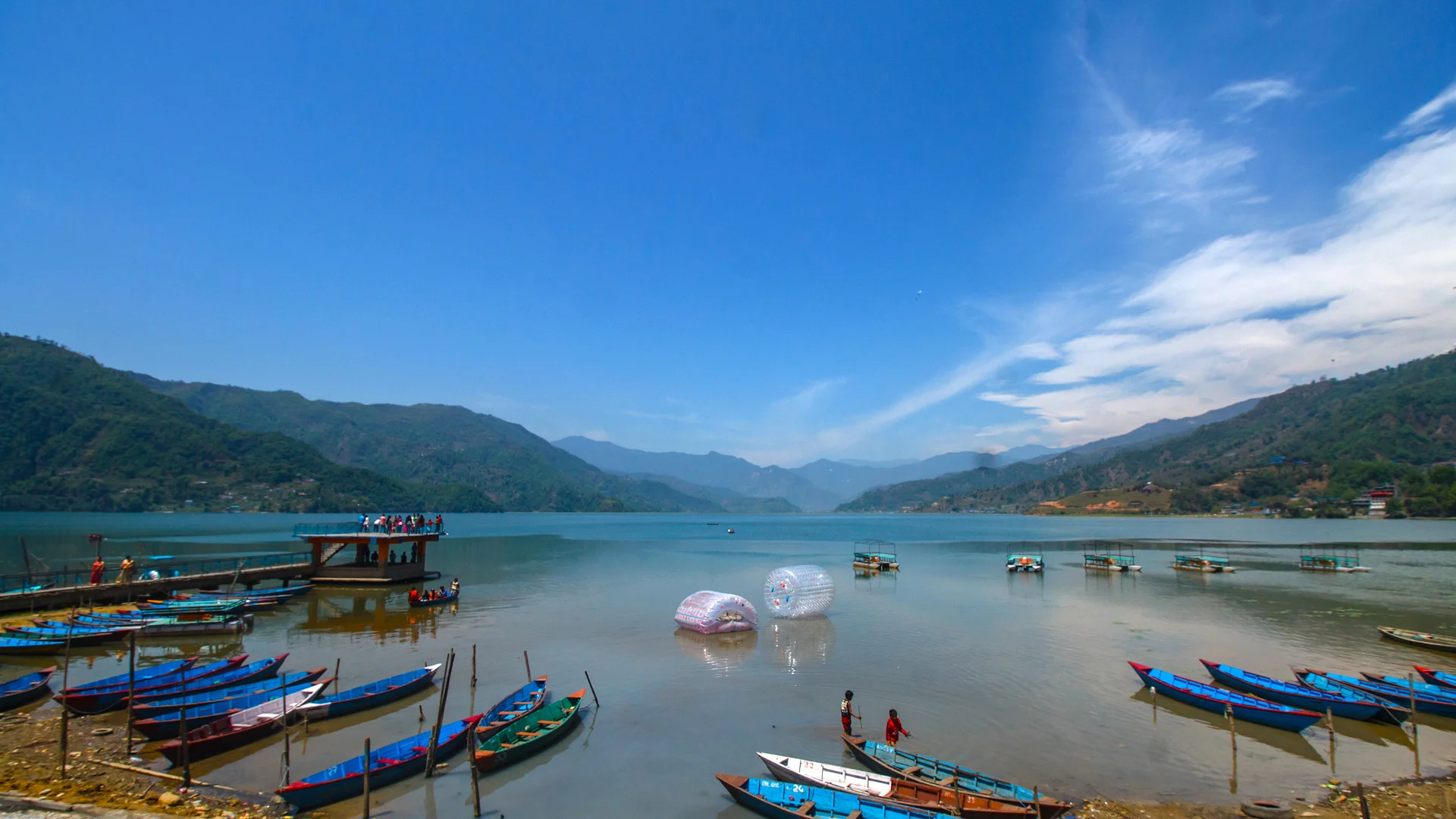
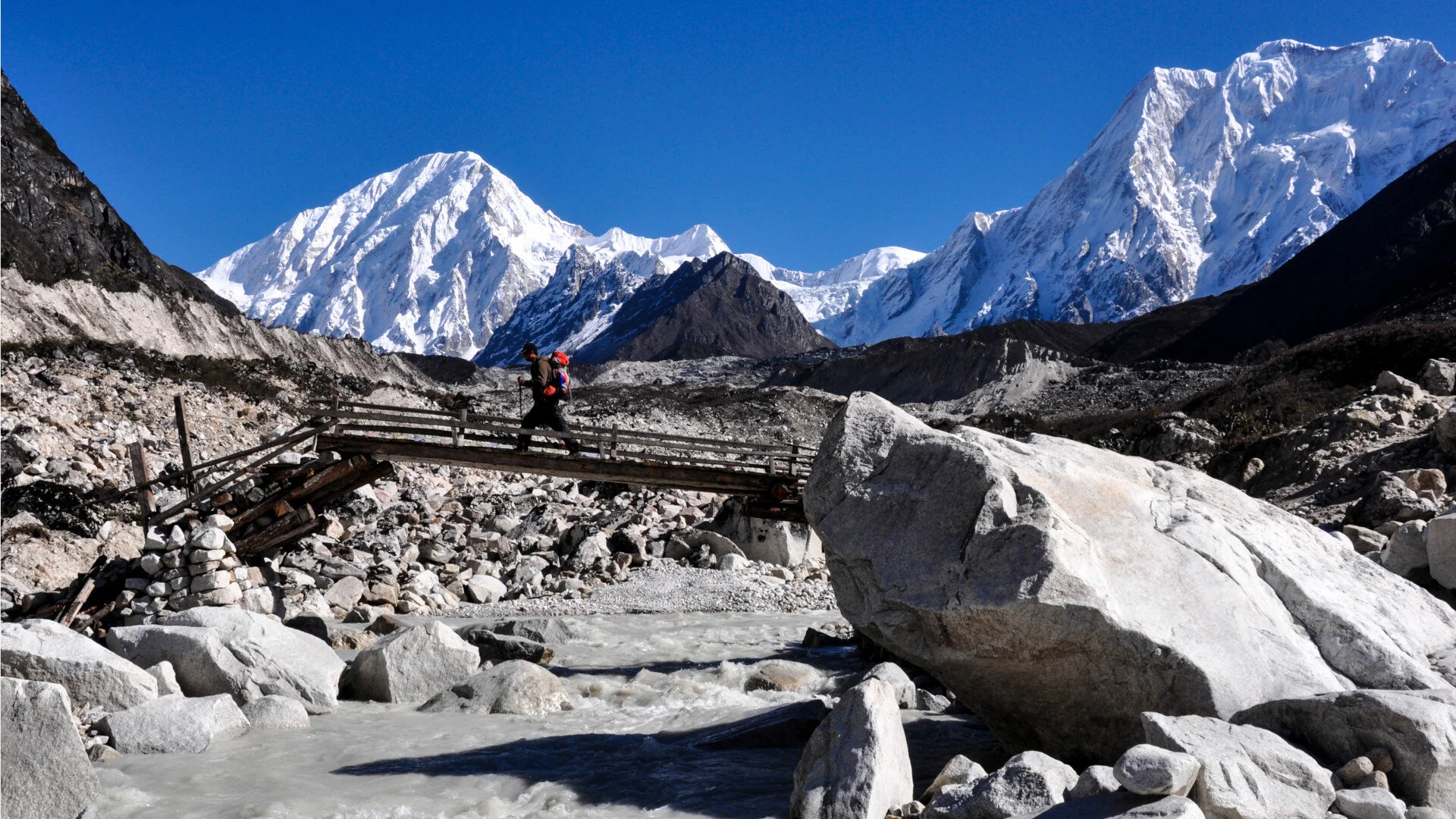
If anyone seeks quiet and peace trekking routes, less traveled or fully off the beaten track. Nepal has a handful of very quiet, beautiful and splendor trails traversed by few, perfect for peace seekers.
Lifetime Experiences: Off-The-Beaten Paths You Shouldn’t Miss This Visit Nepal 2020
In 2018, Nepal Tourism Board launched “Visit Nepal 2020” with a tagline of “Lifetime Experiences”. Nepal awaits and welcomes you with our diverse culture, untarnished nature and geography. Nepal is a country with 8 of the 10 highest mountain peaks, and several layers of hills between the Himalayas and plain Terai range. Here are 4 places which are suitable for Visit Nepal 2020.
Pokali Jharana (Waterfall)
Best Season: April - July
Location: Okhaldhunga, Mid-Eastern Nepal
Duration: 2 - 3 days
Considered as second largest waterfall of Nepal, Pokali offers indifferent and mesmerizing experience with a touch of simplicity. Pokali Waterfall lies at Likhu rural municipality-9, Okhaldhunga, with view of mountains and green hills to accompany you through the way. Pokali is 200 km from Kathmandu. Sirishe Bazar (starting point for hike) can be reached in 8-9 hours drive from Kathmandu.
Pokali waterfall falls from 130m above from ground level. Once you are there, you can hear the magnificent waterfall through its roar from several hundred meters away and feel those cold droplets of water bouncing off the rocks as you draw near which reinvigorates your whole experience. On a lucky day, rainbow created by the sun’s rays around waterfall can be seen some time during the afternoon. It is highly recommended to spend some time in Hadi Daha (pond) located at the bottom of the waterfall where you can alleviate along the banks.
Moreover, Pokali is culturally diverse as people from different cultures such as Sunuwar, Sherpa, and other communities live together and have created a mixed culture with some interesting food variety. The delicacies in Pokali is worth the travel.
Tsum Valley Trek
Best Season: October - November and February - April
Location: Gorkha, Central Region
Duration: 10 - 14 days
The name Tsum” is derived from Tibetan word “Tsombo” which refers to vivid. Tsum valley is located in the northern Gorkha. This hidden valley hosts the view of Manaslu Himal(8156m), Ganesh Himal(7429m), and Boudha Himal range and is rich in ancient art, culture and tradition.
Tsum valley is one of the least trekked trail in comparison to other destination as it was restricted to travel before 2008. The local population of the valley are mostly of Tibetan origin and have their own dialects, traditions and customs. In a way, their culture and tradition are in contrast to other parts of Nepal. The valley is still untouched from privileges of modern society, as such, unique culture of Tsum has remained intact and unchanged for centuries, with minimal influence from the outside world. In addition, flora and fauna is culturally protected as hunting and fishing are prohibited here. And in the valley, clear nights give way to vivid stars and galaxy dust.
Trek to Tsum starts from Arughat in Gorkha district, one can easily reach in 7-8 hrs drive from Kathmandu. After which, the route follows through banks of Budhi Gandaki river and passes through dense forest, terraced fields & villages. You can also experience the beauty of alpine forests and glacial rivers along the way. Several Buddhist monasteries, Mani walls, illustration of deities provide a glimpse of ancient relics. The altitude in this trek varies from 1905m in Lhokpa to over 5093m on the Tibetan border at Ngula Dhojhyang Pass. The Tsum Valley trek is remote area trekking therefore, you cannot expect to have luxury accommodation so, camping can be a good option for the visitors and could be a once in a lifetime experience.
Khaptad National Park
Best Season: October - November and April - June
Location: Far-western Nepal
Duration: 7 - 10 days
Khaptad National Park, a protected area established in 1984, stretching over four districts of Bajhang, Bajura, Achham and Doti with elevation ranging from 1,400m to 3,300m above sea level. This park is regarded as a garden of herbs and a museum of natural history for its variety of medicinal herbs, various species of flowering plants, bird species such as flycatchers, bulbuls, cuckoos and eagles. Khaptad also hosts a rich variety of wild animals, such as barking deer, wild dog, wild boar, himalayan black bear, yellow-throated marten, macaques and langur monkey.
Escaping from city life into serene view of the meadows, sweet chirping of birds whilst listening to whistling winds is the kind of acquaintance you get from Khaptad. During spring to autumn, the fields have a magical touch and are said to be covered with various colorful blooming flowers such as Primulas, Wild Berries and Bistortas. However, being a high plateau, the weather can be unpredictable. Occasionally the clouds from neighbouring lowlands would cover sky in no time creating foggy environment.
Khaptad is also regarded with religious importance as it was home to Khaptad Baba (hindu saint) where he spent most of his life and it’s called Khaptad Baba Ashram. It is now an open museum. The other religiously important sites within the park include Tribeni, Khaptad Daha(lake), Kedardhunga, Maithan, Sahashra Linga.
The gateway to Khaptad is Silgarhi Bazaar in Doti district, from where the park headquarters is 50 kms. The best way to reach Silgarhi is via Attariya Chowk in Kailali district which is 9 hours drive. Buses to Attariya Chowk & Kailali, are available at the Central Bus Station, Gongabu, Kathmandu. Another option is to catch a flight to Dhangadi from where one can drive to Silgarhi Bazaar.
Makalu Barun National Park
Best Season: October - November and February - April
Location: Solukhumbu, North-Eastern Himalayas
Duration: 10 - 12 days
Makalu Barun National Park is situated in Sankhuwasabha and Solukhumbu districts. The Park covers 2,330 sq. kms out of which 1500 sq. kms is virtually uninhabited. This remote terrain stretches east from Sagarmatha (Mt. Everest) National Park, between the high plateaus of Tibet and the deep gorge carved by The Arun River. The view of vigorous Himalayan peaks, including Mt. Makalu (8463m) 5th highest in the world, Mt. Chamlang (7319 m) and Mt. Baruntse (7129m) is beyond comprehension due to its altitudinal incline.
Glaciers, glacial lakes, rivers, hot springs, cliffs, gorges and snow-capped peak are few of the main attractions here. This unique landscape shelters various unspoiled mountain ecosystems where rare species of animals and plants flourish in diverse climates and habitats, relatively undisturbed by human intrusion. Over 400 species of birds have been sighted in the Makalu Barun area, including spotted wren babbler and olive ground warbler. Wildlife including the endangered red panda, musk deer, Yarsagumba (caterpillar Fungus) are found here.
There are regular flights from Kathmandu to Tumlingtar. Or you can drive 11-12hours from kathmandu to Hile and then trek 3 days to Tumlingtar. From Tumlingtar you can head towards Sedua (headquarters of Makalu Barun). If u wish to go higher, then Tashi Gaon is your next stop where you have to refill your food and fuel supplies. Along the trail you have few designated camping sites with very few lodges. Some of these sites are: Khongma(3500m), Dobato(3500m), Yangle(3570m), Neghe(3700m), Langmale(4100m) and Shersong(4600m).
Note: Mountain sickness can also be a serious risk if elevation gains are rapid without proper acclimatization.
Be prepared for the variations in temperature and precipitation due to extreme difference in altitude, slope and aspect within the area. All of this makes Makalu Barun National Park a must visit place for the adventure seeker and those want to experience pristine wilderness of the eastern mountains of Nepal.
SIMILAR POSTS


Seeking adrenaline in Nepal. Part 2
Nepal is a country where there are adventurous destinations and most beautiful cultural heritage full of temples, rivers, and magnificent mountains. Whether you want to see the beauty or you want to make an unforgettable moment by experiencing the breathtaking adventure activities of Nepal.
If you are looking for ways to conquer your fear or just want to do something crazy for your adrenaline kicks in, the high lands of our country can help you achieve this goal. It is an adventure playground for thrill seekers and adrenaline junkies. For all you risk takers and brave hearts, our country excels in adventure tourism and here's some of the adrenaline arousing activities in our country:
Crossing a suspension bridge
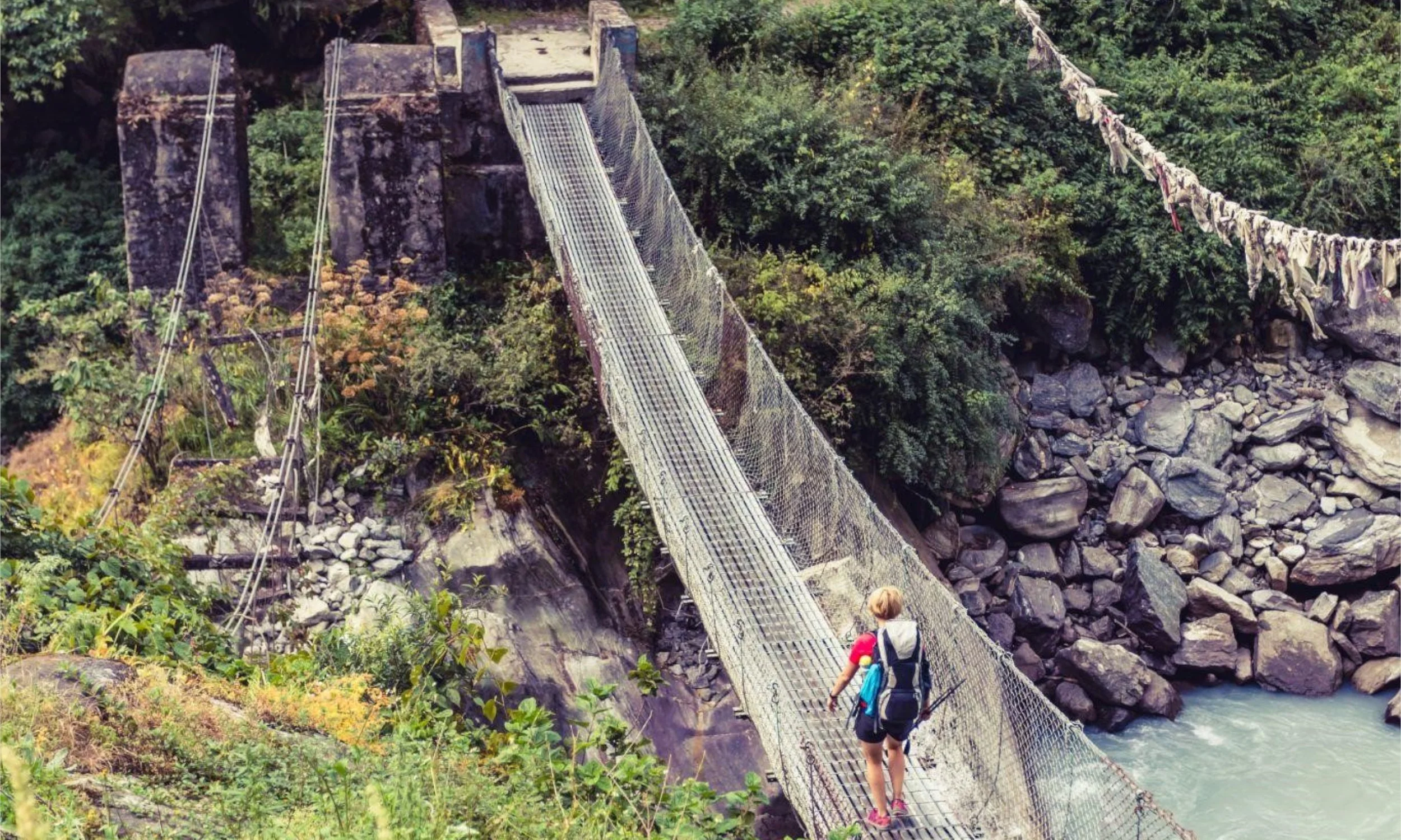
- For people who are scared of heights, walking in a suspension bridge can be a nightmare. The longest suspension bridge can be found in Kusma, which is a small town only a couple of hours outside of Pokhara. The walk through the bridge is scary and it becomes a never-ending journey as the bridge is 344 meters long and 135 meters high. The view of Kali Gandaki below can make your head spin and your heart can race uncontrollably.
- However, you can experience different kind of thrill on a suspension in the Himalayas. The Edmund Hillary suspension bridge, located in the Himalayas is 160 meters high. It may not be as long as the one in Kusma but as the porters pass you while crossing the bridge, the large hauls that they carry can make it very bouncy. Also, if mules and yak are walking beside you, get ready to experience mini heart attack!
River rafting down the Bhote Koshi River
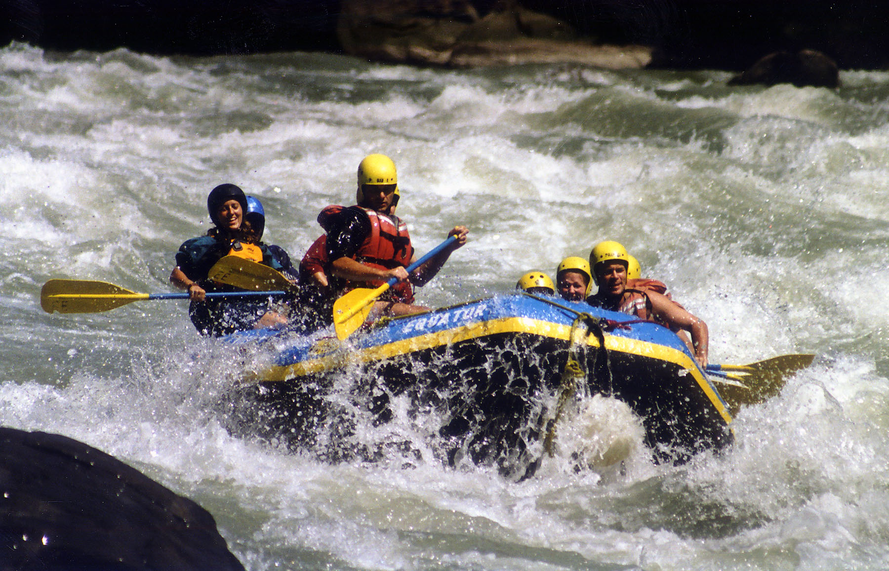
- Bhote Koshi is the most popular whitewater rafting destination in Nepal. The upper section of this river features class V rapids and this has been the main attraction for skilled kayakers while its lower sections and their class III rapids are mostly preferred by the new-bies who are exploring their rafting skills. Along with this, Bhote Koshi also provides mind blowing views of the enchanting waterfalls, lush green jungles and ancient villages.
Canyoning
- Canyoning can be a bold adventure choice to experience the thrills of nature in the wild. Imagine the level of adrenaline rush you experience while descending down streams on a rope and jumping down to spotless pools from canyon walls. You can get a special package of canyoning along with hiking, trekking with other thrilling adventures. Canyoning sites are available at Marsyandi, Kakani, Sunkoshi, Kulekhani, Sundarijal, Bhotekoshi.
Waterfall Ice Climbing
- As Nepal has eight of the highest peaks of the world, it's no wonder many mountaineers have come here to explore and get a taste of their own adventures. What better way to arouse their adrenaline then by ice climbing?
- If you choose to literally push yourself to the limit by battling extreme altitudes, taking on the toughest icefall and jagged peaks, then this mind blowing experience is just the thing for you. While climbing this incredibly frozen water, you get to witness amazing landscapes which are completely different to experience. You can try ice climbing in places like Thame, Annapurna, Langtang valley.
Ultra light flying
- This adventure can be pretty similar to mountain flights but with extra chills! The microlight aircraft helps you fly through the clouds with the wind on your face and with a view of the unhindered mountain peaks. It's an experience of a lifetime with the feeling of freefalling in the mountains. If you cannot contain the excitement anymore, Pokhara airport is calling you!
Parahawking
- Parahawking can best be described as paragliding with falconry. You can actually fly with birds of prey! Parahawking combines the modern technique of paragliding capturing a bird's natural instinct. You get to explore the jungles through the eyes of this bird.
- During the flight, the passenger regularly place small chucks of meat on their hand for the bird to refuel. This is a unique adventure which deals with conservation and eco- tourism and gives the opportunity to interact with the birds of prey while experiencing the Himalaya from the sky. Paragliding and Parahawking can be experienced together in Pokhara.
Heli Skiing
- Nepal offers an excellent location for heli- skiing activities with amazing height of the Himalayas as the helicopter drops you off at the start of your run with the longest distance starting at 5,000 meters above sea level.
- Your adventure begins as you make your own tracks through the beautiful powdered snow while praising the forest scenery and mountains views on your way down. You can try heli skiing in the Makalu, Dhaulagiri, Kangchenjunga, Everest and the Dolpo regions.
Jungle safari
- The Himalayan region is famous for mountaineering but we cannot forget the plains. You can go on a Jungle safari and observe magnificent creatures in their natural habitat. Chitwan and Bardiya national park can be the perfect place to enjoy and relax in the tropical climate and greenery if you are a lover of wilderness.
Similar Posts
Seeking adrenaline in Nepal
Mountains have been a highlight for adventure seekers since the beginning of tourism in Nepal. Every year thousands of visitors come to Nepal to take a journey to the mountains. And, to conquer the fear or to do something crazy when the adrenaline kicks in, the high lands of our country excels in adventure tourism and some of the adrenaline arousing activities.
While going through our social media sites, we occasionally stumble upon that friend who takes the concept of adventure to the next level. Their profile is covered with images of skydiving missions, rough camping trips, rock climbing etc. Such daring adventures have a lot of risk but because we have a thirst to experience adrenaline rush, it drives us to seek more thrilling adventures, despite of being scared out of our wits.
The holy mountains have been a highlight for adventure seekers as long we can remember. A journey to Annapurna, Everest and other massifs can exceed anyone's expectation as the amount of beauty and serenity it holds is indescribable by words. As our country is gifted by the mountainous terrain and the river flowing system from the glaciers; many extreme adventure sports came into being.
If you are looking for ways to conquer your fear or just want to do something crazy for your adrenaline kicks in, the high lands of our country can help you achieve this goal. It is an adventure playground for thrill seekers and adrenaline junkies. For all you risk takers and brave hearts, our country excels in adventure tourism and here's some of the adrenaline arousing activities in our country:
You can fly like a bird through ZipLining
- If you are someone who wants to experience the feeling of euphoria, you can try the famous zipline of Nepal. As our country has the steepest, longest and the fastest zipline in the world, grab the opportunity of a thrill ride. The best part of the zip flyer is the take off. As soon as the door swings open you go flying down a hill which is so steep that you can't even see the ground you are headed to. Imagine jumping towards the unknown! If you are lucky, you can experience the breathtaking views of Annapurna on a clear day as the wind hits your face.
Go Bungee Jumping
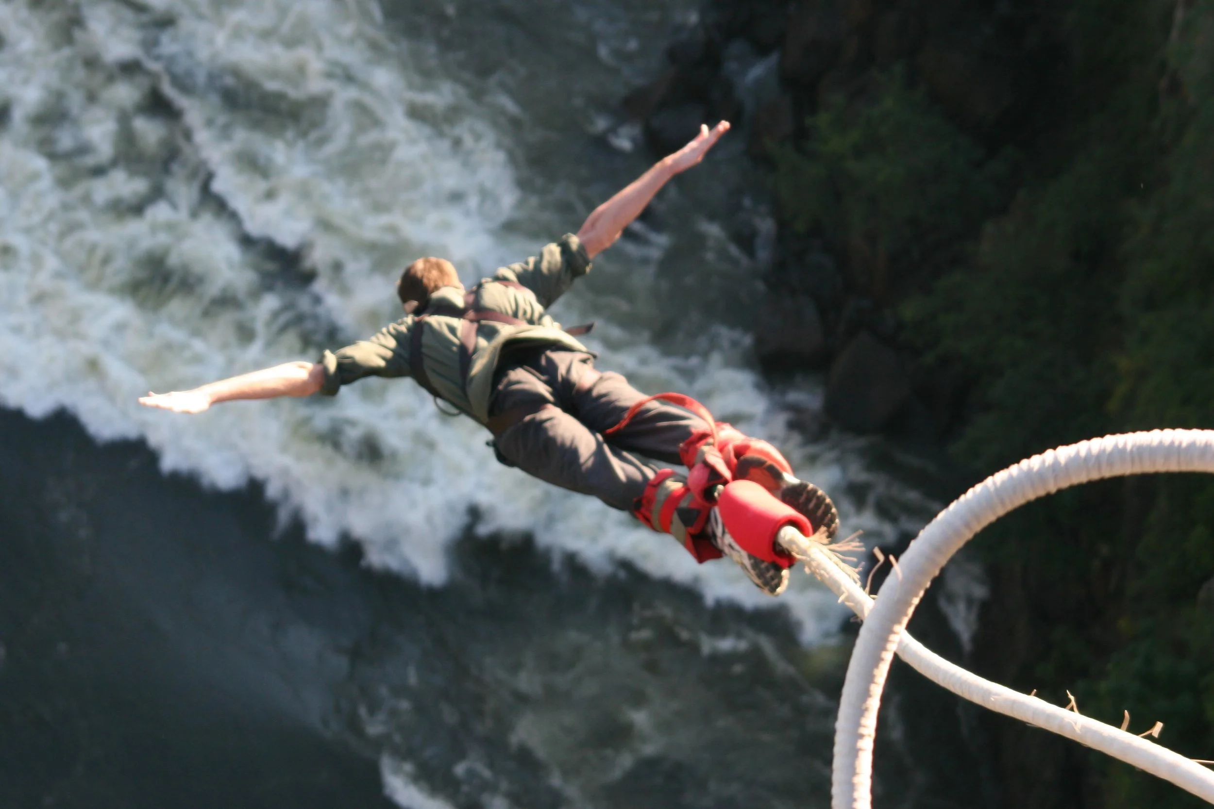
- The Last Resort proudly claims to be the 9th highest bungee jump in the world. Your fall is from 160 meters and you feel the rush of adrenaline as soon as you freefall. The air and the falling into nothingness can make you feel free. It's absurd to risk your life like that, but when you just 'let go,' it is an insanely amazing feeling.
Go Paragliding
- There's something exciting about running of a mountain with only a piece of fabric and strings attached to you. In Pokhara, you can experience an unforgettable paraglide flight. Once you fly high over the valley in the presence of the mighty Annapurna, you feel like you have reached paradise.
Mountain biking
- Nepal has a lot of uphill division and if you are a fairly experienced rider, mountain biking can be an excellent choice of adventure for you. Annapurna Circuit is considered to be the one of the most popular trekking destinations in the world where you can experience both hiking and biking. You can bike from Muktinath through the Mustang region for a satisfying combination of jaw dropping scenery, cultural delights and get indulged in one of the deepest gorges of the planet.
Kayaking
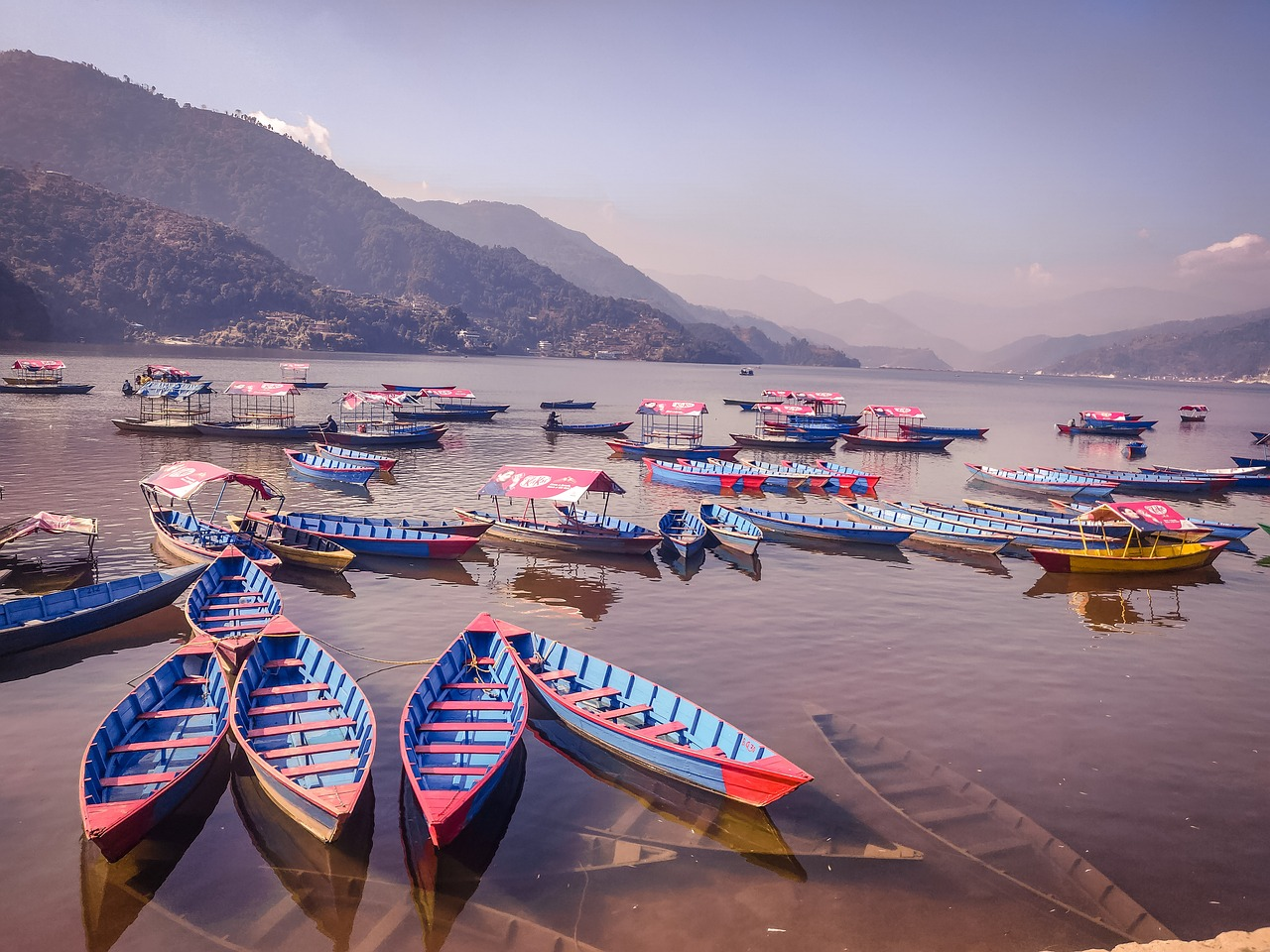
- Kayaking in The Lower Seti River can be the best place to dive into to get the best experience of river rafting and kayaking. Even for the newbies, kayaking can be done smoothly as it does have any major obstacle. The kayaking expedition begins at the captivating Phewa Lake and ends close to Chitwan National Park. The Lower Seti River trail has been known to be completely safe for any sort of water sports.
Rock Climbing
- Rock climbing is another adventure that can attract all kinds of adrenaline junkies from the world. Nepal can be one of the best destinations for rock climbing as has a perfect combination of rock climbing experience with exceptional natural beauty.
Trekking to Everest Base Camp
- There can only be a handful of voyages that can give you the thrill that you get while trekking to Everest base camp. This embodiment has attracted adventure enthusiasts ever since the 1920s. For those who can never think about stepping the giant Mt. Everest, this adventure can be a more practical solution. While venturing through this region, you can experience countless museums, days which are charged by beautiful colors, old world monasteries and swing bridges (scary!). Even during the nighttime, you can light up bon fire and have conservations with other fellow travelers.
Take a flight to Luka airport
- Lukla is considered to be the 'most dangerous airport of the world' and hearing this fact in itself can give us chills. The entire process of flying into Lukla can arouse intense heart throbbing experience. The flight takes place only when the weather is clear and it has the capacity to hold only 12 to 14 seats.
- This adventure is pretty challenging as you fly straight into the mountain as you land in Lukla and you fly off a cliff during takeoff. Normal runways are 1,829 meters long but the runway of Lukla is merely 527 meters. This makes the flight extremely dangerous as it has a short length to cover. The runway is on a steep gradient to ensure that planes slow down in time while landing and gain enough speed for takeoff.
Similar Posts
The Humla Trek
Why Nepal is a Trekker’s Paradise
The Everest Base Camp and Annapurna Base Camp treks are so well-known around the world that they are often referred to as simply, EBS and ABC. However, Nepal is called a trekkers’ paradise not only for these two famous treks; there are numerous other trails that are as exciting. Here’s a series of lesser-known trails that are becoming more popular by the season.
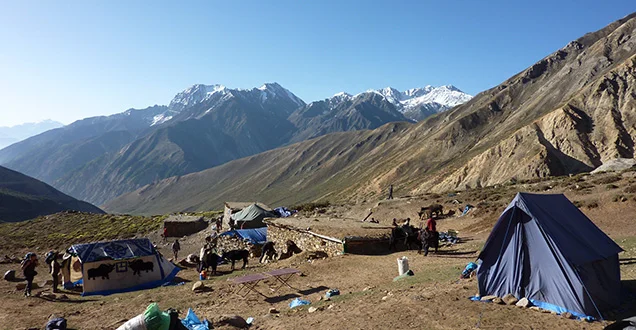
This trek introduces you to one of the remotest regions of the country, and you’ll be hiking on some salt trade routes that are pretty ancient in origin, and on which you’ll see mules, many of them in caravans, heavy loads on their sturdy backs, yet managing to scamper down sure-footedly on steeply descending rocky trails and scrambling uphill, equally sure of foot. These are sights rarely seen in today’s world, and thus makes the Humla trek a novel one.
Humla is the country’s northernmost district. It is also the gateway to Mount Kailash, a very sacred site, the abode of Lord Shiva and Goddess Parvati. Mount Saipal, at 7,031 meters, is the highest mountain in Humla. You’ll also find Limi Valley here, a virgin valley, as it were, with almost no signs of modernization around. Your trek starts at Simikot (2,190 m) which you reach by flight from Nepalgunj in about 50 minutes. Nepalgunj, on its part, is a one-hour flight from Kathmandu.
Once in Simikot, you hike on a salt trading trail to arrive at a town on the Nepal-China border known as Hilsa (3,720 m). You’ll be making many steep ascents and equally steep descents, which makes it a tough trek. The landscape is wild and rugged, and the awesome scenery is unbelievably beautiful—pine tree forests, terraced paddy fields, wonderful waterfalls, deep gorges, shimmering lakes, and many rock strewn trails all around. As you plod on, you’ll be in sight of the Karnali River most of the time, and on the horizon will be a number of snow-capped peaks. Add to all this, the sight of yaks grazing on the meadows and the sheep in caravans with 10-12 kg bags of salt on their backs, and yes, you will be transported back in time, no doubt about that!
On leaving Simikot, you’ll have to hike uphill most of the time on a salt route that goes along the valley wall. Waterfalls cascading down make for fantastic scenery. You’ll also encounter nomads on the trail, as well as some small villages around the hilltops above the gorge. Villages like Tumkot, Yalbang, Majhgaon, Kermi, etc. The descents are as trying as the ascents, and punish your legs equally. The foot of the Chongsa basin makes for a good campsite for the day, but the weather can be quite unpredictable here, so be prepared for rain.
Tamang Heritage Trail Trek
Why Nepal is a Trekker’s Paradise
The Everest Base Camp and Annapurna Base Camp treks are so well-known around the world that they are often referred to as simply, EBS and ABC. However, Nepal is called a trekkers’ paradise not only for these two famous treks; there are numerous other trails that are as exciting. Here’s a series of lesser-known trails that are becoming more popular by the season.
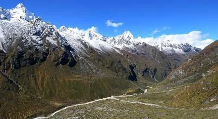
There is an interesting village called Gatlang in Rasuwa district,to the north of Kathmandu, which is inhabited by people of the Tamang community, and which suffered great devastation during the 2015 quake. To reach there, you have to first travel by bus for an entire day, a distance of about 130 km, from the capital to Syabrubesi. This is the starting point of your trek to Gatlang. The narrow trail goes quite steeply uphill, reaching 2,300 meters in height, and this is when you get good views of Langtang Himal, Ganesh Himal, and the Gosaikunda range, as also the Kerung range in far off Tibet. The landscape is enchanting. From Gatlang, you get to have panoramic views of Langtang Lirung (7,256 m) and Langtang II (6,561 m). The sunsets over distant mountain peaks are truly spellbinding. If simplicity is what you are looking for, then Gatlang is just the place for you. A warm welcome awaits every visitor, the Tamang people are as hospitable as they are simple, and you can also enjoy intermingling with them all the more by staying at a homestay. Other options include a community lodge also assured of comfortable lodgings at one facility or the other, be it a homestay, a community lodge and a private boarding house. The people here, despite the substantial number of tourists going their way, have managed to hold on to their traditional way of life, which includes a unique culture and distinctive identity. All the houses in this village are built of stacked stones and the roofs are of wood. The dresses worn by the local are of Tibetan style, and one of the most distinctive features of the women’s accoutrement are the large round gold plated earrings that adorn their ears. Similarly, a unique part of their culture is the custom of making mits and mitnis (best friends for life) by boys and girls, respectively, at a communal ceremony. Religion plays a big part of life here, the Tamangs being predominantly followers of Tibetan Buddhism. The Tamangs also have their own dances, some of which are popular all over the country. Shamans are also a part of life for them, and watching them exorcise evil spirits is pretty spellbinding, what with the jingling of many bells worn on a belt over the shoulders, the hypnotic beat of one-sided hand held drums, rhythmic chants, and so on. All this points towards a rich and ancient heritage, which is what you experience on a trek on the Tamang Heritage Trail. The trail goes through numerous villages like Langtang village, Thang Shyap, Ghore Tabela (about 3,000 m), and Kyangjin (3,900 m), besides Gatlang. As you hike uphill from Ghore Tabela to Langtang, the Langtang Himals to the north offer themselves as a splendid sight, and when on the way to Kyangjin, you’ll be crossing the outer margins of the Ledrup Lirung glacier. Some interesting and lesser known Himalayan peaks to be viewed from Kyangjin are Kyangjin Ri (4,770 m), Brana Chumso (4,350 m), and Menchmasu (4,650 m). In case you have enough stamina, and the interest, you can also hike up to Tsergo Ri (4,984 m), a four-five hour trek. Langtang, naturally the biggest village in the valley, has a significant role as a regional trading center. You’ll not fail to notice a rather large complex of mani-stones and mani-walls near the village, and the elaborately carved doors and numerous prayer flags on the houses. The sight of herds of grazing yaks will certainly grab your attention, as well. The other big village, Kyangjin, has a large number of lodges, twenty in number and counting. But, you’ll not find another lodge on the trail after Kyangjin
Barahabise to Charikot Trek
Why Nepal is a Trekker’s Paradise
The Everest Base Camp and Annapurna Base Camp treks are so well-known around the world that they are often referred to as simply, EBS and ABC. However, Nepal is called a trekkers’ paradise not only for these two famous treks; there are numerous other trails that are as exciting. Here’s a series of lesser-known trails that are becoming more popular by the season.
A relatively new trekking route, this trek begins west of the Rolwaling and Khumbu trekking regions, to the east of the capital, Barahabise being the take-off point. This five-six days’ trek ends at Charikot of Dolakha district, which is nestled on Gauri Shanker Himal’s southern slope. Gauri Shanker (7, 134 m) is a revered peak, as is obvious from its name itself. If you have a week of free time at hand, you should go on this trek, one that is easy to reach. You drive on the Arniko Highway, heading northeast from Kathmandu, to reach Barahabise in just about two-and-a-half hours.
Then, you start trekking on the trail along the Sunkosi River watershed, going east up to the Tamakosi river valley. The first day is easy, and you’ll reach a village called Karthali soon enough, then, it becomes more of a regular hiking trail, one that’s dusty and rough. And, you won’t find any shade for quite a few miles, so, hat on, folks! Karthali village, lodged between two ridges, can provide comfortable dormitory-type accommodations in a lodge operated by an organization called Eco-Himal. From here, you can see the Sunhkosi River far below, its flow tranquil and serene. All around are huge mountain ranges. The following day, you hike to Dolangsa, a Sherpa village, at a height of some 2,500 meters, where houses are built all over the hillsides. Here, there’s a lodge propped up near the monastery located at quite a height. The trail carries on to Bigu, and getting there is pretty challenging. The trail is pretty narrow, and it’s cut into the rock face, and what’s more, it’s steeply uphill to the Tingsing La pass (3,300 m). However, your strenuous efforts will be rewarded with a spectacular view of Gauri Shanker peak. You’ll also see Chhoba Bhamare to the west and Pigpherago and Numbur Himal to the west if there are no clouds. The descent is easy enough on a winding trail down the hillside. On the way, you’ll see some chalets decorated with carved windows. Soon, however, you got to undertake a sharp climb up the hillside on a dusty path before arriving at Bigu.
Sleep well here, you’ve deserved it, and there’s comfy arrangements at the Bigu Lodge, which is near the Bigu Gompa, a 75-year-old Kargyapa-sect nunnery that has many marvelous images of Avalokiteshwara, a multi-armed, multi-headed deity, along with rows of elaborately embossed chortens. The next day, you hike to Loting, passing through Laduk, on a trail leading to the river. A night-halt is called for at Loting, and the following morning you trek on to Sinagti on a trail that descends steadily. You get to walk across a swaying suspension bridge before you come to Solung Khola. Then on, the trail goes along the left bank of the river, and finally reaches Singati, from where you can get a bus ride to Charikot, a rough one, it must be said! The final part of your adventure sees you on a bus back to the capital.
Trek of a Lifetime in Nepal
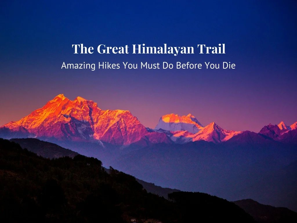
The Great Himalayan Trail is the longest and highest trekking route in the world—and most of it is in Nepal!
The Great Himalaya Trail (GHT) was launched in 2011, most fittingly, on the occasion of the 32nd World Tourism Day. This most challenging 2,800-km trail of many different interconnecting trails goes across Nepal, India, China (Tibet), Bhutan, and Myanmar—quite the international route! Completing the trail means you get to see all of the world’s ‘eight-thousanders’, that is, all fourteen of the highest peaks in the world. These are: Mount Everest (8,848 m), K2 (8,611 m), Kanchenjunga (8,586 m), Lhotse (8,516 m), Makalu (8,462 m), Cho Oyu (8,201 m), Dhaulagiri (8,167 m), Manaslu (8,163 m), Nanga Parbat (8,126 m), Annapurna (8,091 m), Gasherbrum I (8,080 m), Broad Peak (8,051 m), Gasherbrum II (8, 035 m), and Shishapangma (8,027 m). Eight of these peaks are in Nepal, including of course, Everest, five are in Pakistan, and one is in China. The Nepal section of the GHT is some 1,700 km long, begins near Kanchenjunga in eastern Nepal, and carries on west along the shadows of the country’s eight eight-thousanders (ranging from Makalu to Everest). It is indeed a long stretch by any means, and all the more grueling because of the high altitude, but you get to witness fantastic diversity, both ecologically and culturally, along the route. It takes you to places like Taplejung in far-east Nepal to Humla and Darchula in the far-west. Needless to say, you’ll be amazed at the many different kinds of culture and lifestyle you see on the way, since Nepal has a hundred and more ethnicities and a similar number of languages! No doubt, rare is the individual who can complete this trail at one go; thus, the Nepal GHT is divided into ten connecting treks, meaning, you can trek one or more at a time. Your fitness level, the time at your disposal, and of course, your desire, are the deciding factors. On average, one can complete a section in about two to three weeks, and you also have a choice between the high route (traversing 3,000 to 5,000 m) and the lower route. The latter brings you up-close with villages and their inhabitants, which means experiencing first-hand local lifestyles of various ethnic groups. An outstanding highlight of your trek will certainly be the great views on the way as you trek through areas like the Kanchenjunga Conservation Area, with its alpine meadows, pristine forests, and high-altitude wetlands, and towering over all, the majestic Kanchenjunga, the third highest peak in the world. Rich in flora that includes over 2,000 plant species, if you are there around April, you’ll see the hills turn red with the blossoming of the rhododendron, Nepal’s national flower. Starting from Tumlingtar, you’ll be passing through villages of the Rai and Limbu clans, who are renowned for their martial prowess, followed by Sherpa, Tamang, and Bhutia villages. Another outstanding area is the Makalu Barun National Park, where the climate ranges from tropical to alpine zones, thus promising great diversity in its ecology, including its forests. There are 25 rhododendron and 47 orchid species to be found here, along with 75 animal species and 440 kinds of birds. This is the habitat of the rare red panda, the clouded leopard, and the Asian golden cat, so keep a sharp eye out! The Sagarmatha National Park is, of course, one of the most exciting areas you will be trekking through; it is after all the highest national park in the world! And, a World Heritage Site, too! You’ll be meeting a lot of Sherpas, so famous for their fantastic climbing skills that no Himalayan expedition is complete without their guidance. This is where you will also see the tallest peak on Earth—Mount Everest, of course! In addition to all these riches, the park has tranquil turquoise lakes and exotic monasteries. And, now, on to the region of sacred valleys and holy lakes, meaning Helambu, one among the 108 beyuls (sacred valleys) of the Himalayas. You get to visit Langtang National Park, and you get awesome views of the vast Tibetan plateau from the Tilman Pass (5,308 m). On the way, you’ll get a chance to take holy dips in a number of sacred lakes, Gosainkunda being the most sacred. It is a really popular pilgrimage destination for Nepalis and foreigners alike, and you’ll find them in their thousands there during the full moon of August, a day when Brahmins change their janai (sacred thread). A holy bath beforehand is, of course, called for, and what could be holier than a dip in Gosainkunda? Paanch Pokhari (Five Lakes) is a group of lakes that are also in this area, and sacred, too. The GHT also entails a visit to the Tsum Valley, where a strict code of non-violence is followed by its inhabitants; no animals can be killed. Among the villages in this area is one that provides great succor to tired muscles, that is, Tatopani (‘Hot Water’), which is famous for its hot spring water gushing out from stone spouts. This is predominantly Tamang country. Another great region is where you will be walking on one of the world’s most popular treks, the Annapurna Circuit. The views are stupendous, and include large glaciers and deep valleys and the mysterious kingdom of Lo Manthang in Mustang. You’ll also see the Kali Gandaki Valley, which is said to be the deepest gorge in the world.
The Pokhara Dhampus Trek
Plan your Pokhara trip to include a few days of trekking to picturesque little villages, hiking through fabulous scenery on great hilly trails.
Now that you are in Nepal, of course you’ll be visiting the lovely city of the lakes, Pokhara, to spend some idyllic days there. Having got a feel of the place, it’s a safe bet that you’ll end up wishing you could actually stay for a longer time, so serene are the surroundings, and so healthful is the environment. Know also that there are quite a few scenic treks from here that are, for the most part, of quite short duration.
One such trek is the one to the beautiful Gurung village of Dhampus that’s around 26 km from Pokhara. A most charming place, it is a gateway to the Annapurna Conservation Area, and on the route of the famous Annapurna Base Camp (ABC) trek, the most popular trek in Nepal, second only to the renowned ‘must-do-in-a-lifetime’ Everest Base Camp trek.
The trek’s starting point is the village of Phedi, which is a 15-minute drive from Pokhara. The trek as a whole is a moderate one, and suitable for most folks. However, initially, as you start off from Phedi, the trail goes uphill quite steeply for about ten minutes, then it meanders out of the woods, and you find yourself hiking on a narrow path. Gradually, you come to a small village called Chandrakot that’s surrounded by millet fields and rhododendron groves. Since the trek is of short duration, no need to hurry. Walk on at a leisurely place, and take a breather whenever you feel like it beneath the welcoming shade of one tree or the other.
You’ll come across teashops on the way, where you can get light refreshments. The cool and soothing buttermilk is a good recommendation, as are the succulent guavas. If you are trekking in November-December, you will certainly meet many groups out on a picnic in the area. Adds to the cheerful ambience of your experience trekking on such a naturally beautiful locale.
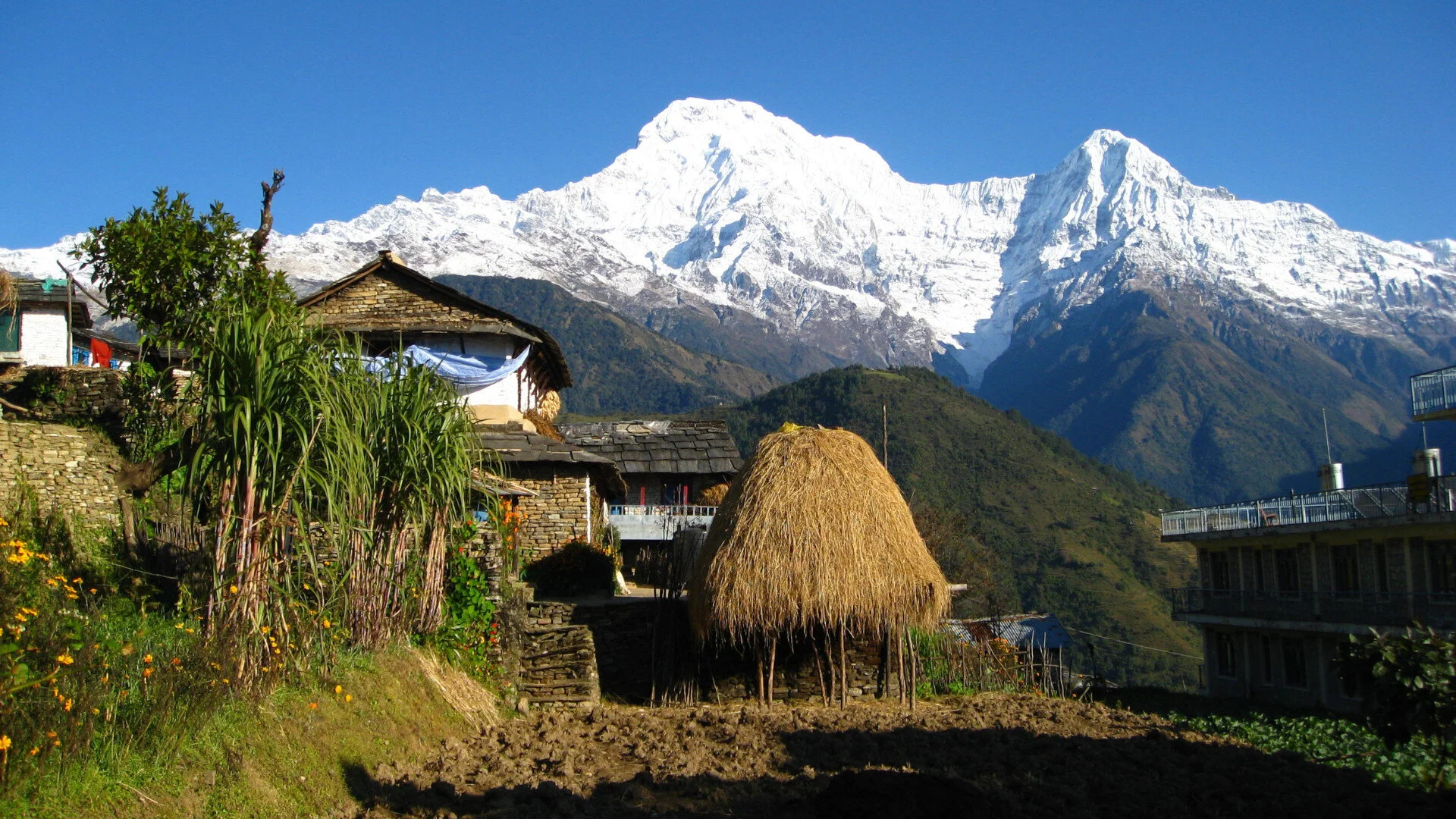
By and by, in about three hours or so, you’ll arrive at Dhampus. It’s considered to be a vantage point from where to view the interesting range of Himalayan peaks on the horizon. These include Tukuche (6,920 m) and Dhaulagiri (8,167 m), the two closest peaks from here. The sight of the magnificent Annapurna range and the massive Macchapucchre (6,900 m) is sure to dazzle your eyes, as well. It’s not just these regal peaks that captivate your eyes, the spectacular view of the Pokhara valley below is just as wonderful.
Dhampus is inhabited mostly by people of the Gurung community. One of the village’s highlights is a lake that offers an excellent reflection of a picture perfect setting of Macchapucchre Himal, popularly known as Fishtail Mountain. Some distance from the village center is a lovely lodge called Tsukinoie, designed in such a way as to provide guests with panoramic views of peaks like Annapurna, Macchapucchre, and Hiunculi from every window, as well as from the terrace.
The lodge is small, with only five rooms, but very well facilitated, offering great food and service, besides comfortable accommodation. It’s a Japanese-style lodge, and you get to soak in an interesting Japanese soaking tub that’s quite heavy, called a ‘goemonburo’. Nothing better to relax in, that’s for sure!
About ten minutes away from the lodge is a view tower that’s worth the steep climb to the top, for the view all around is pretty mesmerizing, with Annapurna South, Annapurna II and IV, Macchapucchre, and Hiunchuli all towering majestically in the distance. The sunrise is bewitching, as you can imagine, so get up before dawn breaks, and make it to the view tower while the stars are still twinkling in the sky. Sunrise is generally around 6-6:30 a.m., with the sun first casting its rays over Macchapucchre, followed by Hiunchuli and the rest. The horizon becomes fiery red for some moments. A most inspiring sight!
There’s another interesting place you could hike to that’s about one hour’s walk from the lodge. It’s called the Australian Camp, a name derived from the fact that sometime in the past (about forty years ago) a group of Aussies had camped there. Simple. Its original name is Thulo Kharka. This hike takes you on a flat trail for some time, before going uphill, going through a forest. From the Camp, the Annapurna range appears to be a bit closer, and you also get to see Manaslu and Peak 29.
All in all, the Pokhara Dhampus trek is ideal for those on a short visit, as also for the less-than-perfectly-fit folks, unlike the more strenuous ones that require loads of stamina and tons of endurance.
SIMILAR POSTS
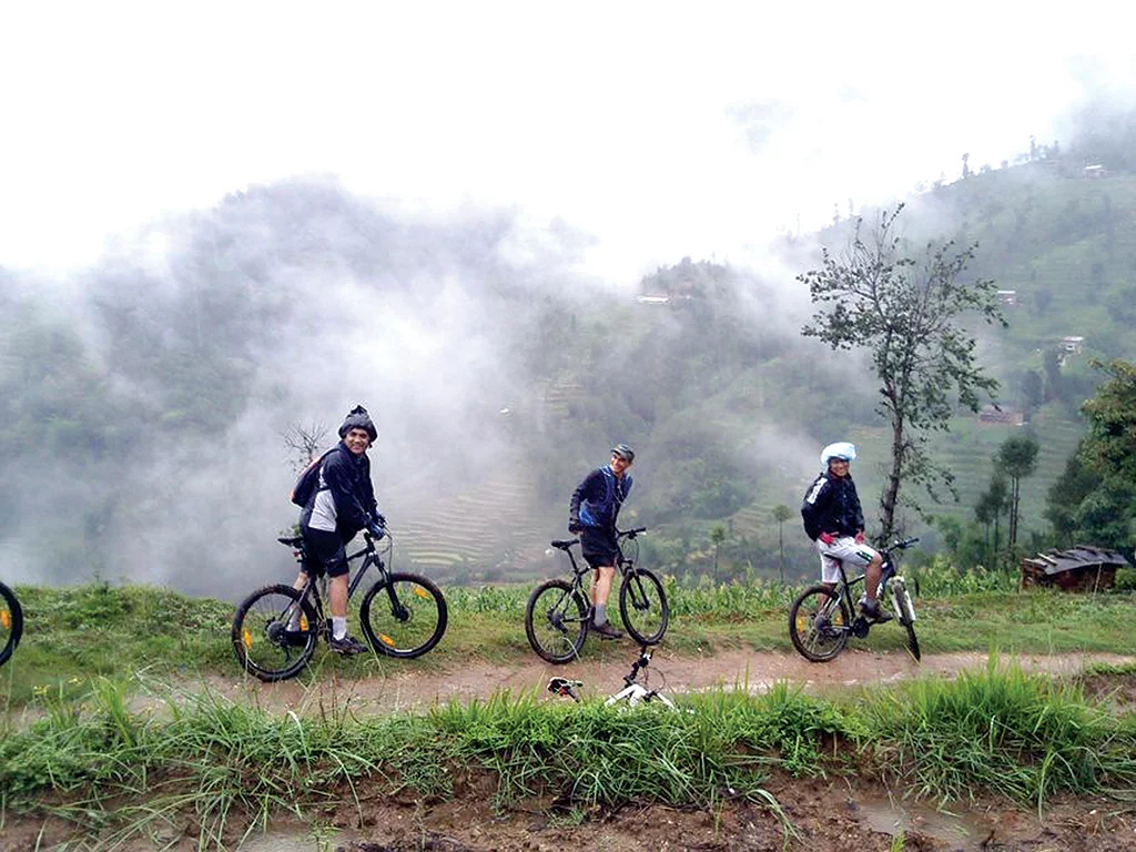
Pedaling around Kathmandu Valley 2017
In today’s world, going green is the in thing to do, and using the humble cycle to tour around the valley makes you a ‘green’ person.
Kathmandu Valley has the kind of terrain that makes cycling around the outskirts a healthy pastime. Not many insurmountable climbs, not too many steep downhills either, but there’s a lot of ups and downs, which means heart-healthy exercise that builds a hearty appetite, and brings the color back to those cheeks made pallid by long sedentary hours in cubicles with a laptop in front. Yeah, that’s the general lifestyle of today’s city folks. But, now that you are in Kathmandu, make the most of your time building stamina and strength while seeing and experiencing a lot more than the usual tourist does.
Pedal your way around the valley on a sturdy cycle that you can easily hire for a couple of days from quite a few rentals around the city. Won’t cost you much, and by all accounts, those two-wheelers are pretty well maintained. Now, if you are convinced about what I am saying, then let’s see where you can pedal to around the valley. Here are some suggestions.
If you are the sort who wants to go full blast, and are fit enough, then the Kathmandu Valley round trip shout fit the bill perfectly. The route begins from Kakani, goes through Chisapani, then enters Nagarkot, and carries on to Dhulikhel, from where you cycle on to Namo Buddha, and finally reach Lakhure Bhanjyang. Wow! That’s quite a ride, but like said before, it’s perfect for those adventurous folks with confidence oozing out of their ears, and a body that’s in pretty good shape.
It’s a challenging ride, too, with some good climbs, and covering quite some distance. But, just imagine, you’ll be visiting places good enough to be on picture postcards. This trip should take around three to four days, with stops in, maybe, the lovely resorts of Nagarkot and Dhulikhel, if you time it right. Both have gorgeous sunrises and sunsets, and panoramic views of the majestic Himalayan peaks. Of course, you could also opt to camp wherever your heart desires, in which case you will have to have a tent and sleeping bag with you. But, it’s bound to be a great experience.
For those with less time on their hands, but still in good physical shape, overnight trips would be ideal. One route starts from Patan Durbar Square, goes through Dhobighat, then Chobar, Taudaha, Chalnakhel village, and Shree Narayan Pharping, before coming to an end in Dakshinkali Temple. This route is not that difficult, and it will take your through some lovely countryside around the valley.
Another route starts from Koteshwor in Kathmandu, carries on along the Arniko Highway to the road going towards Changunarayan Temple, then to Chailing and Telkot, and ending in Nagarkot. This ride is harder because of longer distance, with a good deal of uphill rides, especially to Nagarkot.
Similarly, another ‘hard’ route is the one ending in Kakani, a very scenic place, with beautiful views all around. You begin your ride from Kathmandu Durbar Square, pedal your way to Sorahakhutte, Balaju Chjowk, then Dharmasthali, and along the Trishuli Highway to first Kaulethan, then Kakani.
The ride to Shivpuri is also considered to be quite challenging. It starts from Kathmandu Durbar Square, goes through Thamel, then Samakhusi, on to Baniyatar, Tokha, the Nepal Army camp of Shivpuri, and finally to Shivpuri hill, from where you get a gorgeous eyeful of the valley below and mountains above. This route goes through a forest, so that makes it all the more exciting.
Another route that’s as exciting is the one ending in Lakhure Bhanjyang. It begins in Patan Durbar Square, goes through Gwarko, Lubhu, and Lamatar Phedi, before reaching Thakuri Gaon Road, and on to Lakhure Bhanjyang, where there’s a view tower from where you get spectacular scenery all around, including the Himalayas.
Now, we come to those with less time, and perhaps in less than tip-top physical shape. Let me hasten to say that there are quite a few options for them too, and good ones at that. Rides will be around two hours on average, but they will be hours well spent, that’s for sure! Just remember to start early so as to avoid traffic pollution.
You can take the route starting from Kathmandu Durbar Square, on to Nayabazar, then Balaju and Mudkhu, and end at Tokha. Or, starting again from Kathmadu Durbar Square, ride to Lazimpat, Golfutar, Chapali, then Budanilkantha and Nangki Gumba, and finally, a place known as Helipad. You’ll be riding through the Shivpuri National Park, so plenty of greenery around. This ride is very popular with local cyclist enthusiasts.
Another two-hour ride is the one starting from Kathmandu Durbar Square, going through Sitapaila and Ramkot, before reaching Bhim Dhunga. The scenery is awesome on this ride. Similar is the case with the route starting from Patan Durbar Square and ending at Chobar, passing through Ekantakuna, Nakhu, and Jal Binayak on the way.
One route takes you to a place called Khokana that’s famous for its mustard oil which is made using ancient traditional ways. It starts from Patan Durbar Square, goes to Ekanatakuna, Nakhu, and Bhainespati, before ending at Khokana. Similarly, the ride to the ancient Newar town of Kirtipur starts at Patan Durbar Square, goes over the Dhobighat suspension bridge, before reaching first, Chobar gate, and then, Kirtipur.
It goes without saying that all the above-mentioned rides allow you to explore the valley in a very leisurely fashion, interacting with locals on the way, and stopping wherever you fancy. All of which goes towards a better understanding of the local communities and their culture and lifestyle.
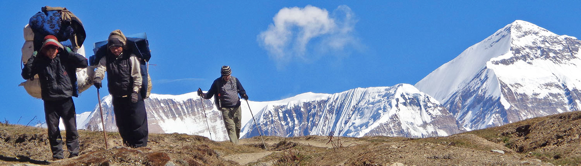
The Guerilla Trek
One of the least developed regions in Nepal, you will discover unexpected sights and lifestyles here; a veritable adventure of exploration awaits you.
The only constant, it is said, is change. In the last few years, Nepal, too, has undergone great change. A 250-year-old monarchy is no more. An army of Maoist insurgents who were at war for ten long years has made peace and won elections, and their leader has become the prime minister twice, including in the present time. One cannot predict the future, more drastic changes may occur, but it is unlikely that the Maoists will ever again go back to the jungle.
This fact makes the ‘Guerilla Trek’ all the more an adventure. You’ll be walking on trails used by the Maoist guerillas not long back when they were conducting an insurgent struggle against the government. This trek will also give an idea of why the communist ideology still works here, even if it the dawn of democracy had occurred a long time back. When on the ‘Guerilla Trek’, you’ll be walking through many villages and towns of far-western Nepal, an area that has been neglected for far too long in the development aspects. An area where infrastructure is woefully inadequate, and people are very poor for the most part. An area where the lure of communism still holds strong.
You will come across many indigenous tribes that have been downtrodden and poor for ages. The trail goes through the remote districts of Myagdi, Rukum, and Rolpa, centers of the Maoist ten-year insurgency (1996-2006), where their sway was firm during that decade. This history of not so long ago makes this region interesting, and a source of knowledge for the curious. It is not that the far-west is devoid of natural resources. It has plenty of lakes, rivers, waterfalls, forests, caves, etc. But, as said before, due to negligence, the region is steeped in poverty and backwardness.
The starting point of the ‘Guerilla Trek’ begins in a small town called Beni, and travels along the boundary of another mountain town, Baglung. It then passes the Dhorpatan Hunting Reserve, one of the country’s three hunting reserves, which was in the news recently for having a dismal hunting season this past year, with barely half a dozen game being killed, thus incurring significant loss of royalty for the reserve.
The trek then takes you to Rukum and Rolpa, the strongholds of the Maoists during the insurgency, with the latter being their headquarters. While trekking on these trails, spend some time at teashops, and try to engage the locals in conversation. You might hear some pretty interesting stories; now that the Maoists have come into the national fold, people will not be afraid to relate what they have seen and experienced in the recent past. Be aware that if you were here during those days, you would have been viewed with strong suspicion, and people would certainly have avoided all loose talk. Tight-lipped was the name of the game then, let me assure you!
Here’s what a two-week-long ‘Guerilla Trek’ entails, as planned for by trekking agencies:
On day one, you’ll travel by bus from the capital to Beni, a ride of about nine hours. Day two will see you trekking some six hours to the village of Takam (1,665 m). Day three takes you to Lamsung (2,250 m), about six hours again. The next day, you walk through scenic landscape for seven hours or so to reach Gurjaghat (3,020 m). Remember that, in some places, you’ll be staying at homestays, while in some places, you may have to pitch up your tent. The homestays are an excellent opportunity to get up close with the local lifestyle.
On the fifth day, you walk for about five hours, before arriving at the famous Dhorpatan Hunting Reserve (2,860 m). Keep an eye out for the mountain goats and the bharials (blue sheep), as well as a variety of deer. If you are a birdwatcher, you’ll not be disappointed, either. Plenty of exotic birds around. The following morning, rise and shine, before starting the five-hour trek to Nisi Dhor, and then the next day, the seven-hour trek to Tallo Sera. All the while, you’ll be encountering the fascinating ecology all around you, and meeting different indigenous communities. The Himalayas, too, will not be far from you, with peaks like Gurjal Himal and the Dahualagiri range always in the backdrop.
The trails you are walking on were used extensively by the Maoist guerillas during their ten-year war, and this knowledge is sure to add some more excitement to your adventure. The eighth day sees you walking for about six hours from Tall Sera to Rujhikhola, and the ninth day you’ll again walk for a similar amount of time to reach Thabang. Now, you are really into deep Maoist territory. Just imagine, if you had been here during the insurgency, you would be coming across numerous heavily armed military personnel at checkpoints, and they would probably have stopped you from going any further. Too dangerous. Anyway, this is just imagination, in the first place, no one would have been foolhardy enough to go on such a trek.
Day ten, and now you will be walking for another five hours to one of the best known names of the insurgency, that is, Jaljale. In fact, rumor had it that ‘Jaljale’ was a secret password used by the Maoists during those years. Just mentioning that name in public anywhere in the country would have got you into trouble with the authorities. The next day’s trek is to the village of Jelbang, while day twelve takes you to Suliochaur, from where you take a thirteen-hour bus ride back to Kathmandu. Well, congratulate yourself on having been the few lucky ones to have experienced the famous ‘Guerilla Trek’!
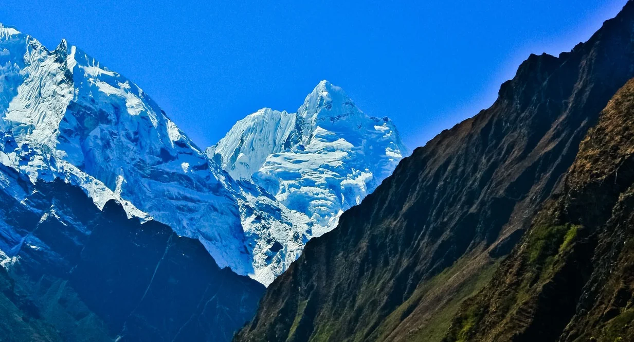
Exploring the Manaslu Conservation Area
Manaslu (Mountain of the Spirit), the eighth highest mountain in the world, rules over the fascinating region known as Manaslu Conservation Area. It’s a place for discovery.
Manaslu, a mountainous region to the north of Gorkha district, was declared as the Manaslu Conservation Area (MCA) in 1998. It encompasses an area of about 1,663 sq km, and has seven villages. The ecology of the region is diverse and interesting, while its culture is rich.
The area has around 2,000 plant species, including some pretty exotic ones, and 11 types of forest.
As far as wildlife is concerned, there are some 33 kinds of mammals, 3 types of reptiles, 110 bird species (including some high altitude ones), and 11 butterfly species. Since hunting is prohibited, the conservation area is a safe haven for some rare animals like Himalayan tahr, snow leopard, grey wolf, and musk deer.
With high altitude glacier lakes and majestic Himalayan peaks, the scenery, ranging from terraced green fields to lush forests to rugged high altitude landscapes, is spectacular and quite breathtaking. The region has a rich Buddhist heritage, as indicated by the presence many stupas, chaityas, and mani walls, and some important gompas (monasteries) like Mu and Rachen Gompas in Chhekampar and Shringi Gompa in Bihi.
Trekking is a pleasure here, with the three-week-long Manaslu Circuit, from Arughat to Besisahar, being very popular. The trail goes along an ancient salt-trading route besides the Budhi Gandaki River, and on the way you’ll have the opportunity of viewing ten 6,500-meter peaks, as well as quite a few over 7,000 meters.
The view from the Tiru Danda ridge is really fantastic, with Manaslu (eighth highest peak at 8,156 m), Annapurna (tenth highest at 8,091 m), Himalchuli (7,893 m), and Ganesh Himal (7,406 m) standing tall on the horizon. The highest point of the Manaslu Circuit is Larkya La (5,106 m). Manaslu (‘Mountain of the Spirit’) was first climbed by a Japanese (Toshio Imanishi and Gyalzen Norbu) on May 9, 1956.
Provided you don’t veer off from the main trail, you will be mostly staying in comfortable hotels, homestays, and lodges on the way. Besides convenience, one of the main attractions of the Manaslu Circuit is the relatively fewer number of trekkers you’ll come across. On around the eight day, you’ll reach Samagaon, where you might have a rest day for acclimatization, and you can use the time to visit Manslu base camp.
Around the ninth day of your trek, you’ll be able to have a look at the Tibetan plateau from the border point near Samdo. On the way, a side trip takes you to Tsum Valley, a peaceful region where killing of animals is prohibited. It is a place of discovery and exploration, a hidden valley full of pristine forests. Many of the villages on the route are inhabited by people of the Tamang community, who are known for their hospitality. Tatopani (‘Hot Water’) village is renowned for its hot spring water gushing from stone spouts, a bath under which will surely rejuvenate tired spirits and body.
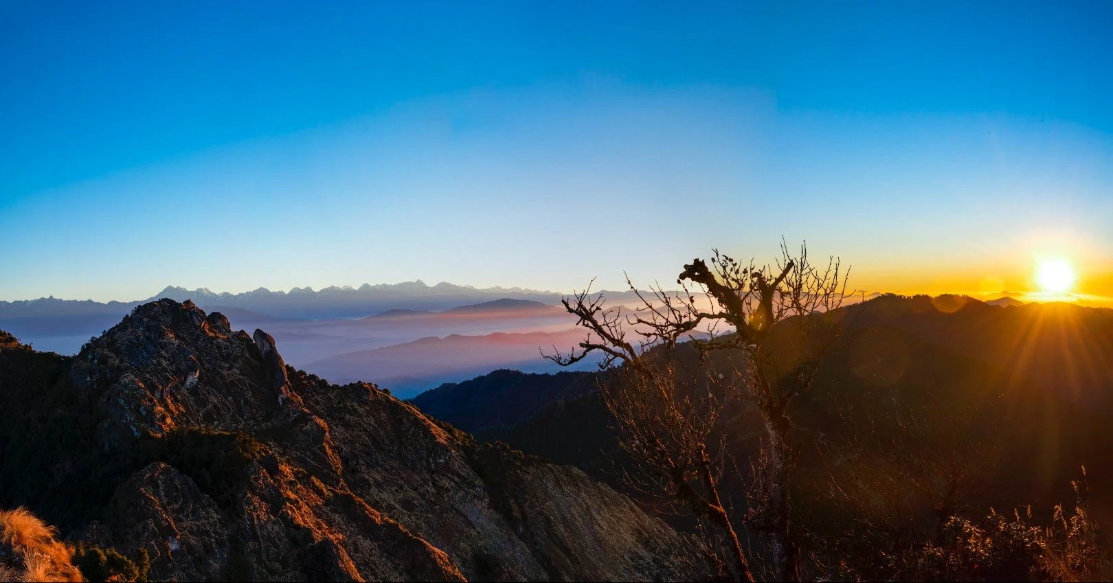
Sunrise view in Nepal is one of the popular and most rewarding tour activities in Nepal on several popular mountain view points in Nepal. Not only popular for the breathtaking views of the sunrise and sunset over the giant mountain peaks, it is also one of the best way to view the heavenly panoramic Himalayas of Nepal.